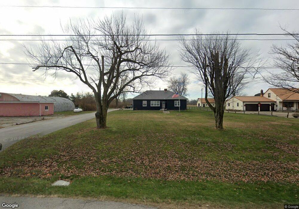
2281 E Main St Bellevue, OH 44811
Estimated Value: $189,000 - $218,000
3
Beds
1
Bath
1,452
Sq Ft
$136/Sq Ft
Est. Value
About This Home
This home is located at 2281 E Main St, Bellevue, OH 44811 and is currently estimated at $197,324, approximately $135 per square foot. 2281 E Main St is a home with nearby schools including Bellevue Elementary School, Bellevue Middle School, and Bellevue High School.
Ownership History
Date
Name
Owned For
Owner Type
Purchase Details
Closed on
Aug 15, 2014
Sold by
Weisz Martha F and Weisz Charles Lester
Bought by
Moyer Daniel J and Moyer Ashley N
Current Estimated Value
Home Financials for this Owner
Home Financials are based on the most recent Mortgage that was taken out on this home.
Original Mortgage
$109,183
Outstanding Balance
$83,252
Interest Rate
4.11%
Mortgage Type
New Conventional
Estimated Equity
$114,072
Purchase Details
Closed on
Nov 30, 2012
Sold by
Weisz Charles Lester and Lorraine Robinson F
Bought by
Weisz Martha F
Purchase Details
Closed on
Dec 15, 2009
Sold by
Weisz Martha F
Bought by
Weisz Charles Lester and Lorraine Robinson F
Create a Home Valuation Report for This Property
The Home Valuation Report is an in-depth analysis detailing your home's value as well as a comparison with similar homes in the area
Home Values in the Area
Average Home Value in this Area
Purchase History
| Date | Buyer | Sale Price | Title Company |
|---|---|---|---|
| Moyer Daniel J | $109,000 | Attorney | |
| Weisz Martha F | -- | Attorney | |
| Weisz Charles Lester | -- | Attorney |
Source: Public Records
Mortgage History
| Date | Status | Borrower | Loan Amount |
|---|---|---|---|
| Open | Moyer Daniel J | $109,183 |
Source: Public Records
Tax History Compared to Growth
Tax History
| Year | Tax Paid | Tax Assessment Tax Assessment Total Assessment is a certain percentage of the fair market value that is determined by local assessors to be the total taxable value of land and additions on the property. | Land | Improvement |
|---|---|---|---|---|
| 2024 | $2,286 | $52,680 | $9,700 | $42,980 |
| 2023 | $2,286 | $41,480 | $7,630 | $33,850 |
| 2022 | $1,940 | $41,480 | $7,630 | $33,850 |
| 2021 | $1,956 | $41,480 | $7,630 | $33,850 |
| 2020 | $1,956 | $39,340 | $7,630 | $31,710 |
| 2019 | $1,933 | $39,340 | $7,630 | $31,710 |
| 2018 | $1,869 | $39,340 | $7,630 | $31,710 |
| 2017 | $1,795 | $36,720 | $7,630 | $29,090 |
| 2016 | $1,737 | $36,720 | $7,630 | $29,090 |
| 2015 | $1,750 | $36,720 | $7,630 | $29,090 |
| 2014 | $2,045 | $39,770 | $7,740 | $32,030 |
| 2013 | $2,040 | $39,770 | $7,740 | $32,030 |
Source: Public Records
Map
Nearby Homes
- 5762 County Road 191
- 136 Centennial Dr
- 162 Centennial Dr
- 174 Centennial Dr
- 1 Progress Dr
- 0 Progress Dr
- 0 Auxiliary Dr
- 0 County Road 302
- 1420 County Road 302 Unit 14
- 113 Centennial Dr
- 1085 W Main St
- 0 County Road 308
- 0 Durnwald Dr
- CR 260 89.6 acres Durnwald Dr
- 4534 County Road 175
- 150 Redwood Dr
- 0 Oakwood Dr
- 0 Hartland Dr
- 118 Maplewood
- 803 Del Moy Ave
- 2273 Sr 20
- 2295 Sr 20
- 2261 E Main St
- 2251 E Sr 20
- 2251 Sr 20
- 2237 Sr 20
- 2314 Mcpherson Hwy
- 2254 E Mcpherson Hwy
- 2325 Sr 20
- 2344 E Mcpherson Hwy
- 2232 E State Route 20 St
- 2220 E Sr 20 Hwy
- 2220 E Mcpherson Hwy
- 2220 E Mcpherson Hwy
- 2208 E Mcpherson Hwy Unit 5
- 2208 E Mcpherson Hwy Unit 1
- 2208 Sr 20
- 0 Sr 20 Unit 20133591
- 0 Sr 20 Unit 20184257
- 1831 Sr 20