Estimated Value: $644,000 - $826,000
4
Beds
3
Baths
2,980
Sq Ft
$244/Sq Ft
Est. Value
About This Home
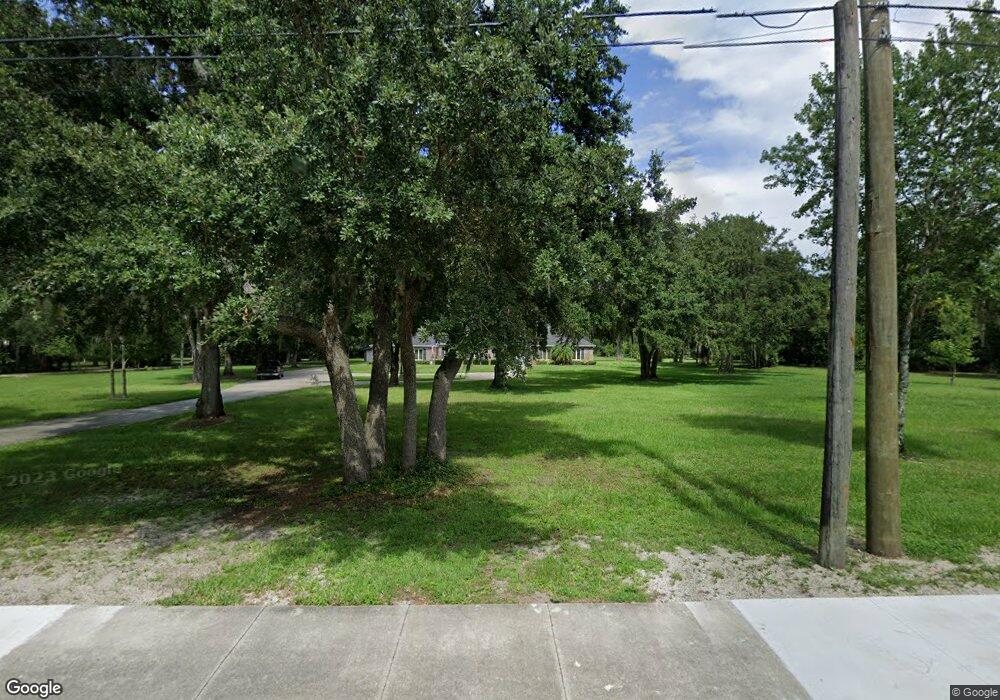
This home is located at 2283 Cox Rd, Cocoa, FL 32926 and is currently estimated at $728,105, approximately $244 per square foot. 2283 Cox Rd is a home located in Brevard County with nearby schools including Cocoa High School, Saturn Elementary School, and Space Coast Christian Academy.
Ownership History
Date
Name
Owned For
Owner Type
Purchase Details
Closed on
Aug 17, 2009
Sold by
Eurgatis Barbara A and Eurgatis William
Bought by
Yates David A and Yates Vivian R
Current Estimated Value
Home Financials for this Owner
Home Financials are based on the most recent Mortgage that was taken out on this home.
Original Mortgage
$254,400
Outstanding Balance
$165,701
Interest Rate
5.19%
Estimated Equity
$562,404
Purchase Details
Closed on
May 10, 2000
Sold by
Scarborough Alex Duane and Scarborough Anna R
Bought by
Eurgatis Barbara A
Create a Home Valuation Report for This Property
The Home Valuation Report is an in-depth analysis detailing your home's value as well as a comparison with similar homes in the area
Home Values in the Area
Average Home Value in this Area
Purchase History
| Date | Buyer | Sale Price | Title Company |
|---|---|---|---|
| Yates David A | $318,000 | Prestige Title Of Brevard Ll | |
| Eurgatis Barbara A | $238,000 | -- |
Source: Public Records
Mortgage History
| Date | Status | Borrower | Loan Amount |
|---|---|---|---|
| Open | Yates David A | $254,400 |
Source: Public Records
Tax History
| Year | Tax Paid | Tax Assessment Tax Assessment Total Assessment is a certain percentage of the fair market value that is determined by local assessors to be the total taxable value of land and additions on the property. | Land | Improvement |
|---|---|---|---|---|
| 2025 | $4,681 | $304,310 | -- | -- |
| 2024 | $4,572 | $295,740 | -- | -- |
| 2023 | $4,572 | $287,130 | $0 | $0 |
| 2022 | $4,147 | $278,770 | $0 | $0 |
| 2021 | $4,157 | $270,660 | $0 | $0 |
| 2020 | $4,039 | $266,930 | $0 | $0 |
| 2019 | $4,328 | $260,930 | $0 | $0 |
| 2018 | $4,135 | $256,070 | $0 | $0 |
| 2017 | $4,153 | $250,810 | $0 | $0 |
| 2016 | $4,178 | $245,660 | $67,840 | $177,820 |
| 2015 | $4,245 | $243,960 | $67,840 | $176,120 |
| 2014 | $4,192 | $242,030 | $67,840 | $174,190 |
Source: Public Records
Map
Nearby Homes
- 3816 Parapet Dr
- 3813 Stonemont Dr
- 3808 Arrowsmith Dr
- 3808 Arrowsmith Dr Unit 7
- 3802 Arrowsmith Dr
- 2212 Spring Cir
- 2209 Spring Cir
- 2575 Cox Rd
- 3728 W Malory Ct
- 2211 Longbow Rd
- 3487 Rocky Gap Place
- 2712 Padden Ct
- 1870 Britt Rd
- 4630 James Rd
- 000 James Rd
- TBD Rayburn Rd
- 3393 Echo Ridge Place
- 3363 Echo Ridge Place
- 4900 Hidden Pine Place
- 4655 Rector Rd
