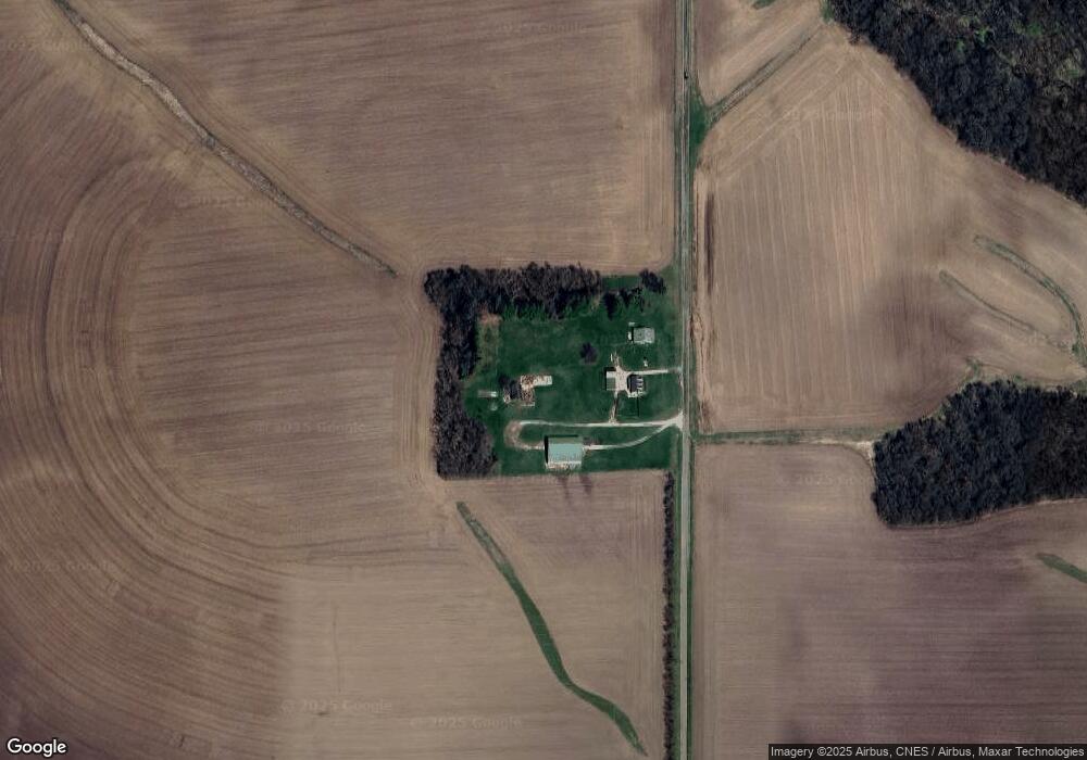
2283 E 2750 St Kewanee, IL 61443
Estimated Value: $325,000 - $375,000
3
Beds
--
Bath
1,323
Sq Ft
$267/Sq Ft
Est. Value
About This Home
This home is located at 2283 E 2750 St, Kewanee, IL 61443 and is currently estimated at $352,846, approximately $266 per square foot. 2283 E 2750 St is a home located in Henry County with nearby schools including Wethersfield Elementary School and Wethersfield Junior/Senior High School.
Ownership History
Date
Name
Owned For
Owner Type
Purchase Details
Closed on
Jan 9, 2025
Sold by
Linda S Bolls Revocable Trust and Lewis Rodney
Bought by
Lewis Rodney
Current Estimated Value
Purchase Details
Closed on
Mar 29, 2010
Sold by
Bolls Linda S
Bought by
The Linda S Bolls Revocable Trust
Purchase Details
Closed on
Jun 16, 2006
Sold by
Gamble Linda
Bought by
Gamble Linda
Create a Home Valuation Report for This Property
The Home Valuation Report is an in-depth analysis detailing your home's value as well as a comparison with similar homes in the area
Purchase History
| Date | Buyer | Sale Price | Title Company |
|---|---|---|---|
| Lewis Rodney | -- | None Listed On Document | |
| Lewis Rodney | -- | None Listed On Document | |
| The Linda S Bolls Revocable Trust | -- | None Available | |
| Gamble Linda | -- | None Available |
Source: Public Records
Tax History
| Year | Tax Paid | Tax Assessment Tax Assessment Total Assessment is a certain percentage of the fair market value that is determined by local assessors to be the total taxable value of land and additions on the property. | Land | Improvement |
|---|---|---|---|---|
| 2024 | $5,745 | $77,639 | $10,982 | $66,657 |
| 2023 | $4,364 | $71,228 | $10,075 | $61,153 |
| 2022 | $4,318 | $68,753 | $9,725 | $59,028 |
| 2021 | $4,322 | $67,076 | $9,488 | $57,588 |
| 2020 | $4,294 | $65,600 | $9,279 | $56,321 |
| 2019 | $4,294 | $65,632 | $9,284 | $56,348 |
| 2018 | $3,766 | $64,219 | $9,084 | $55,135 |
| 2017 | $3,804 | $63,394 | $8,967 | $54,427 |
| 2016 | $3,802 | $61,668 | $8,723 | $52,945 |
| 2015 | $4,010 | $59,583 | $8,428 | $51,155 |
| 2013 | $4,010 | $58,735 | $8,587 | $50,148 |
Source: Public Records
Map
Nearby Homes
- 2283 E 2750th St
- 0 W South St
- 116 W Garfield St
- 436 Hollis St
- 202 Regina Ct
- 136 W Mill St
- 732 S Main St
- 712 Roosevelt Ave
- 714 S Main St
- 702 Elliott St Unit 1
- 837 Beach St
- 328 E Prospect St
- 215 W Prospect St
- 1231 Western Ave
- 512 Commercial St
- 522 E 5th St
- 716 W 3rd St
- 422 Ross St
- 1221 June St
- 0 N Main St Unit E 2nd
Your Personal Tour Guide
Ask me questions while you tour the home.