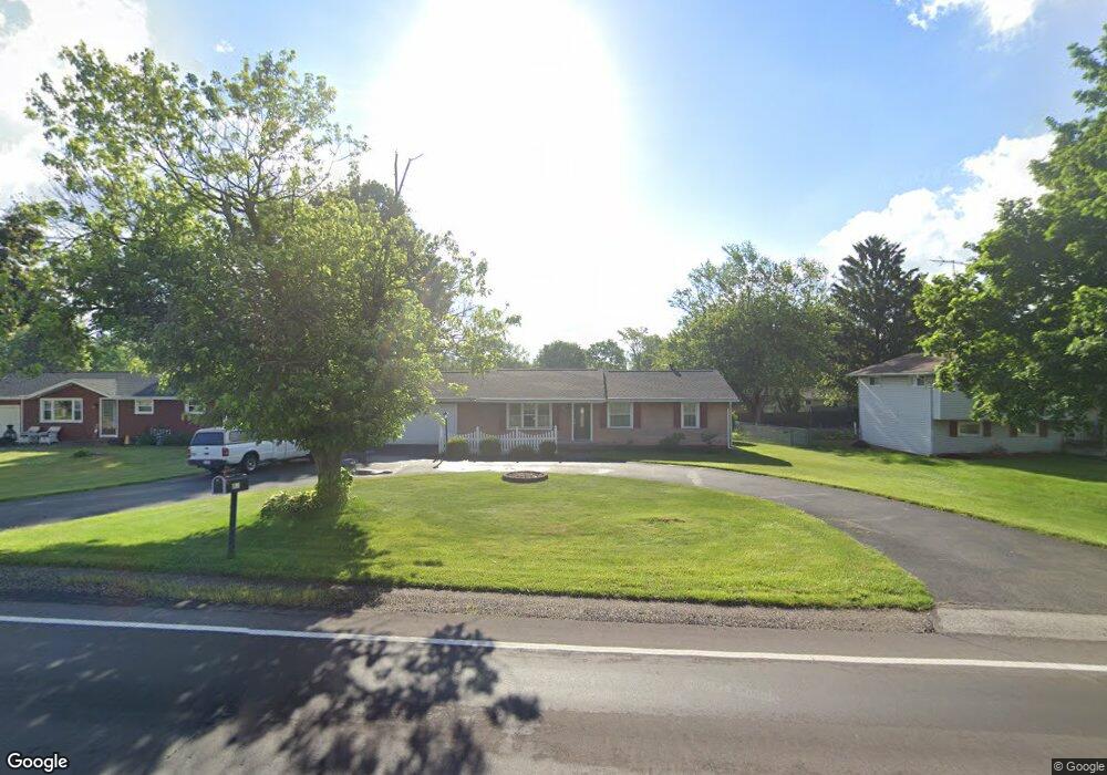
2284 Perry Dr SW Canton, OH 44706
Westview NeighborhoodEstimated Value: $196,142 - $264,000
3
Beds
2
Baths
1,066
Sq Ft
$207/Sq Ft
Est. Value
About This Home
This home is located at 2284 Perry Dr SW, Canton, OH 44706 and is currently estimated at $220,536, approximately $206 per square foot. 2284 Perry Dr SW is a home located in Stark County with nearby schools including Pfeiffer Intermediate School, Edison Middle School, and Perry High School.
Ownership History
Date
Name
Owned For
Owner Type
Purchase Details
Closed on
Dec 20, 2011
Sold by
Loretto Patricia Irene and Simonson Patricia I
Bought by
Simonson Raymond P and Simonson Patricia I
Current Estimated Value
Home Financials for this Owner
Home Financials are based on the most recent Mortgage that was taken out on this home.
Original Mortgage
$58,000
Outstanding Balance
$6,271
Interest Rate
4.01%
Mortgage Type
New Conventional
Estimated Equity
$214,265
Purchase Details
Closed on
Sep 30, 1997
Sold by
Burkheimer Charles R
Bought by
Loretto Patricia I
Home Financials for this Owner
Home Financials are based on the most recent Mortgage that was taken out on this home.
Original Mortgage
$73,600
Interest Rate
6.5%
Mortgage Type
New Conventional
Create a Home Valuation Report for This Property
The Home Valuation Report is an in-depth analysis detailing your home's value as well as a comparison with similar homes in the area
Home Values in the Area
Average Home Value in this Area
Purchase History
| Date | Buyer | Sale Price | Title Company |
|---|---|---|---|
| Simonson Raymond P | -- | Mk Land Title Inc | |
| Loretto Patricia I | $92,000 | -- |
Source: Public Records
Mortgage History
| Date | Status | Borrower | Loan Amount |
|---|---|---|---|
| Open | Simonson Raymond P | $58,000 | |
| Closed | Loretto Patricia I | $73,600 |
Source: Public Records
Tax History
| Year | Tax Paid | Tax Assessment Tax Assessment Total Assessment is a certain percentage of the fair market value that is determined by local assessors to be the total taxable value of land and additions on the property. | Land | Improvement |
|---|---|---|---|---|
| 2025 | -- | $58,590 | $12,320 | $46,270 |
| 2024 | -- | $58,590 | $12,320 | $46,270 |
| 2023 | $2,173 | $43,330 | $10,010 | $33,320 |
| 2022 | $2,185 | $43,330 | $10,010 | $33,320 |
| 2021 | $2,327 | $43,330 | $10,010 | $33,320 |
| 2020 | $2,043 | $36,480 | $8,440 | $28,040 |
| 2019 | $1,590 | $31,470 | $8,440 | $23,030 |
Source: Public Records
Map
Nearby Homes
- 2227 Perry Dr SW
- 2391 Libra Cir SW
- 2644 Delaware Ave SW
- 2353 Longlynn St SW
- 5620 Nave St SW
- 5980 Longview St SW
- 1424 Channonbrook St SW Unit B6D
- 5954 Wentworth Ln SW
- 4014 21st St SW
- 503 Locke Ave SW
- 0 Pershing Ave NW
- 119 Cayuga Ave NW
- 1729 Gambrinus Ave SW
- 726 Ellwood Ave SW
- 3363 Shepler Church Ave SW
- 145 Mount Marie Ave NW
- 213 Genoa Ave SW
- 325 Stewart Ave NW
- 342 Locke Ave NW
- 176 Saratoga Ave NW
- 2304 Perry Dr SW
- 2264 Perry Dr SW
- 2285 Delaware Ave SW
- 2305 Delaware Ave SW
- 2267 Delaware Ave SW
- 2332 Perry Dr SW
- 2256 Perry Dr SW
- 2291 Perry Dr SW
- 2277 Perry Dr SW
- 2325 Delaware Ave SW
- 2267 Perry Dr SW
- 2309 Perry Dr SW
- 2252 Perry Dr SW
- 2265 Perry Dr SW
- 4987 Lynncrest St SW
- 2344 Perry Dr SW
- 4979 Lynncrest St SW
- 2335 Perry Dr SW
- 2248 Perry Dr SW
- 4969 Lynncrest St SW
Your Personal Tour Guide
Ask me questions while you tour the home.