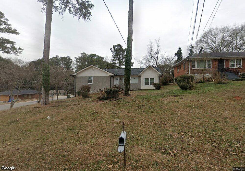
2285 Mcafee Rd Decatur, GA 30032
Estimated Value: $256,000 - $296,000
3
Beds
1
Bath
1,560
Sq Ft
$179/Sq Ft
Est. Value
About This Home
This home is located at 2285 Mcafee Rd, Decatur, GA 30032 and is currently estimated at $278,944, approximately $178 per square foot. 2285 Mcafee Rd is a home located in DeKalb County with nearby schools including McNair Middle School, McNair High School, and Charles Drew Charter School.
Ownership History
Date
Name
Owned For
Owner Type
Purchase Details
Closed on
Oct 8, 2010
Sold by
Federal Home Loan Mortgage Corporation
Bought by
Schlein Stuart
Current Estimated Value
Purchase Details
Closed on
Apr 6, 2010
Sold by
Suntrust Mtg Inc
Bought by
Federal Home Loan Mortgage Corporation
Purchase Details
Closed on
Jul 25, 2006
Sold by
Solomon Ben
Bought by
Amlett Jonah
Home Financials for this Owner
Home Financials are based on the most recent Mortgage that was taken out on this home.
Original Mortgage
$26,000
Interest Rate
6.74%
Mortgage Type
New Conventional
Create a Home Valuation Report for This Property
The Home Valuation Report is an in-depth analysis detailing your home's value as well as a comparison with similar homes in the area
Home Values in the Area
Average Home Value in this Area
Purchase History
| Date | Buyer | Sale Price | Title Company |
|---|---|---|---|
| Schlein Stuart | -- | -- | |
| Federal Home Loan Mortgage Corporation | -- | -- | |
| Suntrust Mtg Inc | $71,219 | -- | |
| Amlett Jonah | $130,000 | -- |
Source: Public Records
Mortgage History
| Date | Status | Borrower | Loan Amount |
|---|---|---|---|
| Previous Owner | Amlett Jonah | $26,000 |
Source: Public Records
Tax History Compared to Growth
Tax History
| Year | Tax Paid | Tax Assessment Tax Assessment Total Assessment is a certain percentage of the fair market value that is determined by local assessors to be the total taxable value of land and additions on the property. | Land | Improvement |
|---|---|---|---|---|
| 2025 | $4,555 | $93,880 | $35,560 | $58,320 |
| 2024 | $4,740 | $98,160 | $33,160 | $65,000 |
| 2023 | $4,740 | $66,920 | $15,200 | $51,720 |
| 2022 | $3,845 | $79,840 | $15,200 | $64,640 |
| 2021 | $2,458 | $66,920 | $15,200 | $51,720 |
| 2020 | $2,458 | $48,240 | $15,200 | $33,040 |
| 2019 | $2,407 | $47,080 | $15,200 | $31,880 |
| 2018 | $1,621 | $36,520 | $15,200 | $21,320 |
| 2017 | $1,609 | $28,760 | $2,280 | $26,480 |
| 2016 | $1,552 | $27,400 | $2,280 | $25,120 |
| 2014 | $694 | $7,800 | $2,280 | $5,520 |
Source: Public Records
Map
Nearby Homes
- 678 Quillian Ave
- 673 Quillian Ave
- 2037 W Collier Cir
- 2024 Collier Cir W
- 701 Daniel Ave
- 634 Daniel Ave
- 2103 Keheley Dr
- 2203 Hillcrest Ave
- 2392 Marion Cir
- 2369 Mcafee Rd
- 2340 Cresta Dr
- 2352 Marion Cir
- 599 Daniel Ave
- 2390 Mellville Ave
- 2164 Rockhaven Cir
- 2270 Cresta Dr
- 535 Rosemont Dr
- 2271 Cresta Dr
- 2294 Collier Dr
- 2128 Mark Trail
- 2279 Mcafee Rd
- 2273 Mcafee Rd
- 2284 Melody Ln
- 2278 Melody Ln
- 2020 Keheley Dr
- 2026 Keheley Dr
- 2272 Melody Ln
- 2269 Mcafee Rd
- 2280 Mcafee Rd
- 2032 Keheley Dr
- 2266 Melody Ln
- 2038 Keheley Dr
- 2272 Mcafee Rd
- 2263 Mcafee Rd
- 2262 Melody Ln
- 2266 Mcafee Rd
- 2042 Keheley Dr
- 2257 Mcafee Rd
- 2285 Melody Ln
- 1999 W Lakeside Dr