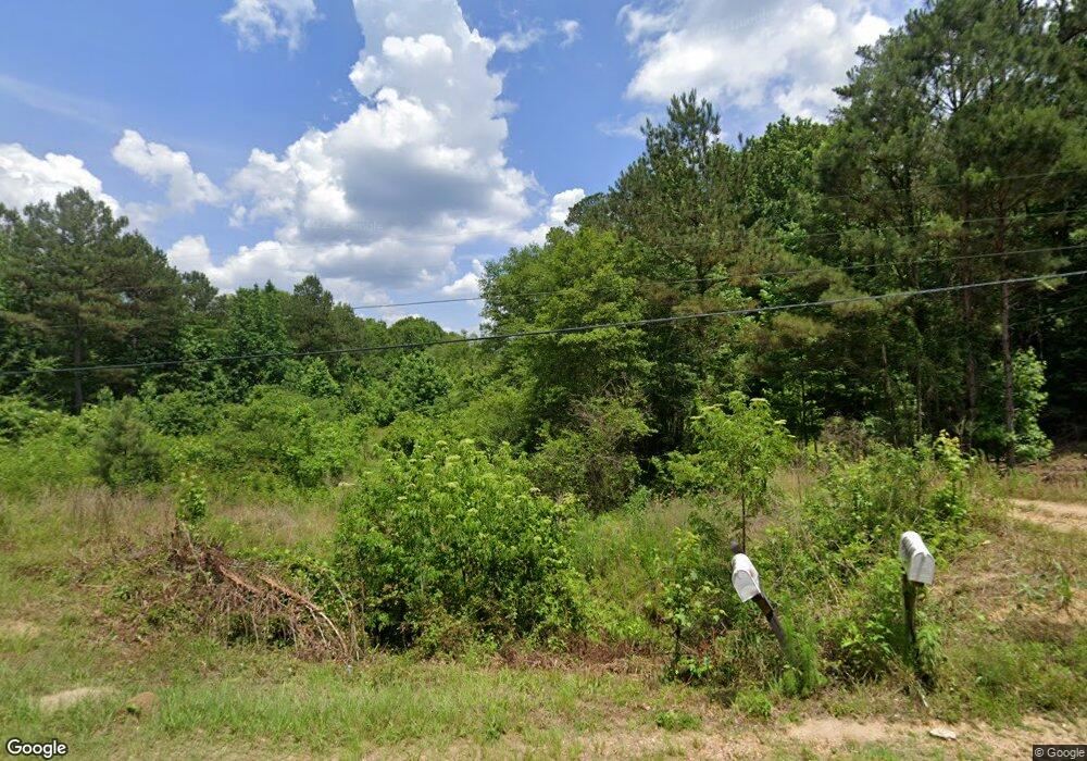
2285 New Sight Dr NE Brookhaven, MS 39601
Estimated Value: $235,000 - $326,406
Studio
1
Bath
2,345
Sq Ft
$114/Sq Ft
Est. Value
About This Home
This home is located at 2285 New Sight Dr NE, Brookhaven, MS 39601 and is currently estimated at $267,469, approximately $114 per square foot. 2285 New Sight Dr NE is a home with nearby schools including Brookhaven High School.
Ownership History
Date
Name
Owned For
Owner Type
Purchase Details
Closed on
Sep 9, 2020
Sold by
Ross Ronald B and Ross Elizabeth L
Bought by
Bowman Mary Jane and Holloway George Darris
Current Estimated Value
Home Financials for this Owner
Home Financials are based on the most recent Mortgage that was taken out on this home.
Original Mortgage
$256,500
Outstanding Balance
$225,549
Interest Rate
2.9%
Mortgage Type
New Conventional
Estimated Equity
$41,920
Purchase Details
Closed on
May 23, 2019
Sold by
Chisholm John and Chisholm Yvette H
Bought by
Ross Ronald B and Ross Elizabeth L
Purchase Details
Closed on
May 27, 2016
Sold by
Hoffman Betty
Bought by
Ross Ronald B and Ross Elizabeth L
Create a Home Valuation Report for This Property
The Home Valuation Report is an in-depth analysis detailing your home's value as well as a comparison with similar homes in the area
Purchase History
| Date | Buyer | Sale Price | Title Company |
|---|---|---|---|
| Bowman Mary Jane | -- | None Available | |
| Ross Ronald B | -- | None Available | |
| Ross Ronald B | -- | -- |
Source: Public Records
Mortgage History
| Date | Status | Borrower | Loan Amount |
|---|---|---|---|
| Open | Bowman Mary Jane | $256,500 |
Source: Public Records
Tax History
| Year | Tax Paid | Tax Assessment Tax Assessment Total Assessment is a certain percentage of the fair market value that is determined by local assessors to be the total taxable value of land and additions on the property. | Land | Improvement |
|---|---|---|---|---|
| 2025 | $2,526 | $25,574 | $0 | $0 |
| 2024 | $2,526 | $19,785 | $0 | $0 |
| 2023 | $1,936 | $16,925 | $0 | $0 |
| 2022 | $1,966 | $19,807 | $0 | $0 |
| 2021 | $1,780 | $16,925 | $0 | $0 |
| 2020 | $1,657 | $16,325 | $0 | $0 |
| 2019 | $1,665 | $16,342 | $0 | $0 |
| 2018 | $1,661 | $16,357 | $0 | $0 |
| 2016 | $46 | $388 | $0 | $0 |
Source: Public Records
Map
Nearby Homes
- 0 Linwood Ln NE
- 1633 New Sight Dr NE
- 2435 Brignall Rd NE
- TBD Poplar Ridge Ln NW
- Poplar Ridge Ln
- 88 Amite Rd NE
- 2605 Brignall Rd NE
- 1800 Brignall Rd NE
- 0 Old Hwy 51 NE
- 1607 N Jackson St
- 1608 N Jackson St
- 1413 N Jackson St
- 596 Mount Zion Rd
- 589 Mount Zion Rd
- 594 Mount Zion Rd
- 2548 Furrs Mill Dr NE
- 1637 Lake Lincoln Dr NE
- 2422 Boyd Trail NW
- 0 Boyd Trail NW
- 602 Stones Throw Ln
- 2289 New Sight Dr NE
- 2311 New Sight Dr NE
- 2303 New Sight Dr NE
- 2293 New Sight Dr NE
- 2290 New Sight Dr NE
- 000 New Sight Dr NE
- none New Sight Rd
- 2247 New Sight Dr NE
- 2206 New Sight Dr NE
- 2241 New Sight Dr NE
- 2302 New Sight Dr NE
- 2221 New Sight Dr NE
- 2211 New Sight Dr NE
- 2203 New Sight Dr NE
- 2252 New Sight Dr NE
- 2306 New Sight Dr NE
- 2215 New Sight Dr NE
- 2413 New Sight Dr NE
- 2226 New Sight Dr NE
- 2218 New Sight Dr NE
Your Personal Tour Guide
Ask me questions while you tour the home.
