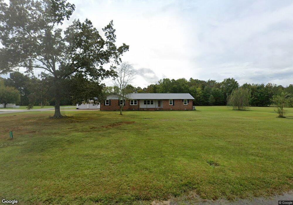
2286 Wayside Rd Manchester, TN 37355
Estimated Value: $252,777 - $370,000
Studio
2
Baths
2,205
Sq Ft
$145/Sq Ft
Est. Value
About This Home
This home is located at 2286 Wayside Rd, Manchester, TN 37355 and is currently estimated at $320,694, approximately $145 per square foot. 2286 Wayside Rd is a home located in Coffee County with nearby schools including East Coffee Elementary School, Coffee County Middle School, and Coffee County Central High School.
Ownership History
Date
Name
Owned For
Owner Type
Purchase Details
Closed on
Jul 17, 2002
Sold by
Hood Jere
Bought by
Smith John R and Smith Karen
Current Estimated Value
Home Financials for this Owner
Home Financials are based on the most recent Mortgage that was taken out on this home.
Original Mortgage
$96,000
Outstanding Balance
$43,818
Interest Rate
8.09%
Estimated Equity
$276,876
Purchase Details
Closed on
Nov 9, 2000
Sold by
Murphy Joe C
Bought by
Hood Jerre M
Purchase Details
Closed on
Jan 1, 1985
Bought by
Murphy Joe C & Aedc Fed Cu
Create a Home Valuation Report for This Property
The Home Valuation Report is an in-depth analysis detailing your home's value as well as a comparison with similar homes in the area
Purchase History
| Date | Buyer | Sale Price | Title Company |
|---|---|---|---|
| Smith John R | $96,000 | -- | |
| Hood Jerre M | -- | -- | |
| Murphy Joe C & Aedc Fed Cu | $64,000 | -- |
Source: Public Records
Mortgage History
| Date | Status | Borrower | Loan Amount |
|---|---|---|---|
| Open | Murphy Joe C & Aedc Fed Cu | $96,000 |
Source: Public Records
Tax History
| Year | Tax Paid | Tax Assessment Tax Assessment Total Assessment is a certain percentage of the fair market value that is determined by local assessors to be the total taxable value of land and additions on the property. | Land | Improvement |
|---|---|---|---|---|
| 2025 | $1,096 | $47,000 | $5,625 | $41,375 |
| 2024 | $1,096 | $47,000 | $5,625 | $41,375 |
| 2023 | $1,096 | $47,000 | $0 | $0 |
| 2022 | $1,096 | $47,000 | $5,625 | $41,375 |
| 2021 | $1,054 | $35,950 | $3,750 | $32,200 |
| 2020 | $1,054 | $35,950 | $3,750 | $32,200 |
| 2019 | $1,054 | $35,950 | $3,750 | $32,200 |
| 2018 | $1,054 | $35,950 | $3,750 | $32,200 |
| 2017 | $1,029 | $31,550 | $1,875 | $29,675 |
| 2016 | $1,029 | $31,550 | $1,875 | $29,675 |
| 2015 | $1,029 | $31,550 | $1,875 | $29,675 |
| 2014 | $1,029 | $31,551 | $0 | $0 |
Source: Public Records
Map
Nearby Homes
- 2635 Pete Sain Rd
- 670 Old McMinnville Hwy
- 363 Willow Brook Dr
- 300 Willow Brook Dr
- 667 Pete Sain Rd
- 22 Hickory Dr
- 577 Maple Springs Rd
- 442 Carr Rd
- 0 Maple Springs Rd Unit 1
- 0 Sunset Dr Unit 57-59,
- 0 Sunset Dr Unit 26596511
- 3441 Woodbury Hwy Unit 3441
- 106 Rigney Rd
- 106 Grandview Dr
- 5622 Ragsdale Rd
- 407 Richland Farms Dr
- 485 Rigney Rd
- 0 Ramsey Rd
- 315 New Union Heights
- 1395 Ragsdale Rd
Your Personal Tour Guide
Ask me questions while you tour the home.