22874 280th St Red Wing, MN 55066
Estimated Value: $282,000 - $457,992
3
Beds
2
Baths
1,320
Sq Ft
$277/Sq Ft
Est. Value
About This Home
This home is located at 22874 280th St, Red Wing, MN 55066 and is currently estimated at $365,998, approximately $277 per square foot. 22874 280th St is a home located in Goodhue County with nearby schools including Sunnyside Elementary School, Burnside Elementary School, and Twin Bluff Middle School.
Ownership History
Date
Name
Owned For
Owner Type
Purchase Details
Closed on
Jul 24, 2014
Sold by
Mcnary James T
Bought by
Lehman Anthony G and Lehman Jessica
Current Estimated Value
Purchase Details
Closed on
Jan 30, 2009
Sold by
Childs Jesus R and Childs Joyous E
Bought by
Swanson Vernon and Swanson Frances
Purchase Details
Closed on
Jun 27, 2007
Sold by
Swanson Vernon R and Swanson Frances E
Bought by
Childs Jesus R
Create a Home Valuation Report for This Property
The Home Valuation Report is an in-depth analysis detailing your home's value as well as a comparison with similar homes in the area
Home Values in the Area
Average Home Value in this Area
Purchase History
| Date | Buyer | Sale Price | Title Company |
|---|---|---|---|
| Lehman Anthony G | $175,000 | None Available | |
| Swanson Vernon | $249,000 | -- | |
| Childs Jesus R | $365,000 | -- |
Source: Public Records
Tax History Compared to Growth
Tax History
| Year | Tax Paid | Tax Assessment Tax Assessment Total Assessment is a certain percentage of the fair market value that is determined by local assessors to be the total taxable value of land and additions on the property. | Land | Improvement |
|---|---|---|---|---|
| 2025 | $2,846 | $385,800 | $135,500 | $250,300 |
| 2024 | $2,846 | $379,600 | $135,500 | $244,100 |
| 2023 | $2,980 | $372,300 | $132,600 | $239,700 |
| 2022 | $2,620 | $347,300 | $129,600 | $217,700 |
| 2021 | $2,604 | $292,000 | $113,100 | $178,900 |
| 2020 | $2,668 | $288,100 | $118,000 | $170,100 |
| 2019 | $2,666 | $278,900 | $117,900 | $161,000 |
| 2018 | $2,184 | $265,600 | $118,500 | $147,100 |
| 2017 | $2,132 | $255,200 | $107,600 | $147,600 |
| 2016 | $1,838 | $248,700 | $107,600 | $141,100 |
| 2015 | $1,896 | $228,100 | $107,900 | $120,200 |
| 2014 | -- | $228,300 | $108,100 | $120,200 |
Source: Public Records
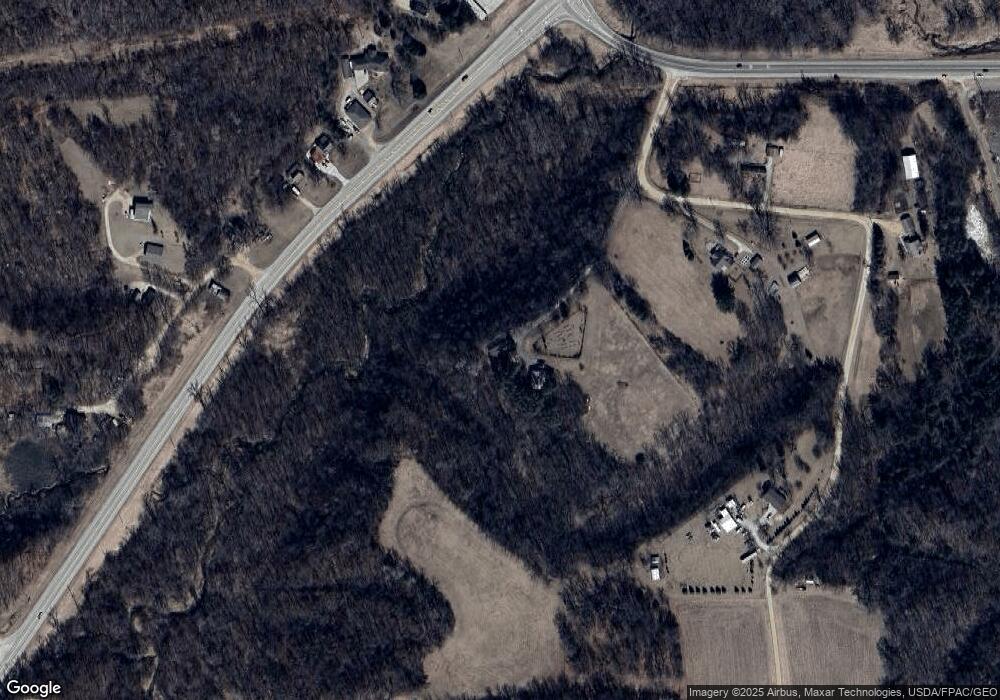
Map
Nearby Homes
- 1978 Neal St
- 1180 Hewitt Blvd
- 1181 Hewitt Blvd
- 1505 Hillside Dr
- 1125 Hewitt Blvd
- 1706 Siewert St
- 2773 Ridgeview Dr
- 2750 Ridgeview Dr
- 998 Hewitt Blvd
- 2345 S Oak Dr
- 946 Briarwood Dr
- 1632 Spruce Dr
- 3463 Briarview Ct
- 1224 Tee Up Ln
- 1733 W 6th St
- 1728 W 6th St
- 528 Buchanan St
- 1838 Spruce Dr
- 1715 W 5th St
- 504 Buchanan St Unit 506
- 22902 280th St
- 23006 280th St
- 22947 280th St
- 28019 227th Avenue Path
- 28075 County 1 Blvd
- 28051 County 1 Blvd
- 28147 227th Avenue Path
- 28117 227th Avenue Path
- 2188 Bench St
- 2170 Bench St
- 28159 227th Avenue Path
- 23001 280th St
- 28227 227th Avenue Path
- 2096 Bench St
- 2063 Bench St
- 2055 Bench St
- 2047 Bench St
- 28452 County 1 Blvd
- 28456 County 1 Blvd
- 28454 County 1 Blvd