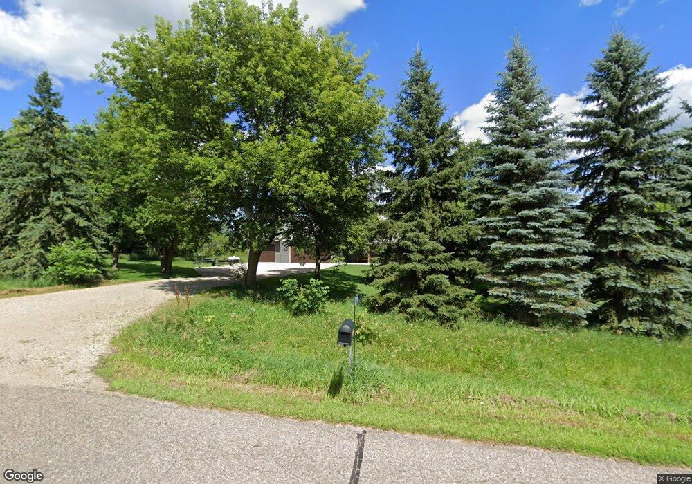
22884 W Torah Dr Richmond, MN 56368
Estimated Value: $503,000 - $563,000
3
Beds
--
Bath
2,312
Sq Ft
$232/Sq Ft
Est. Value
About This Home
This home is located at 22884 W Torah Dr, Richmond, MN 56368 and is currently estimated at $536,800, approximately $232 per square foot. 22884 W Torah Dr is a home located in Stearns County with nearby schools including Rocori Senior High School and Saints Peter & Paul Catholic School.
Ownership History
Date
Name
Owned For
Owner Type
Purchase Details
Closed on
Sep 3, 2019
Sold by
Ellis Thomas D and Ellis Paula B
Bought by
Proshek Travis J and Proshek Amanda B
Current Estimated Value
Purchase Details
Closed on
May 31, 2016
Sold by
C. P. and C. Paulette
Bought by
Ellis Thomas D and Ellis Paula B
Purchase Details
Closed on
Feb 17, 2006
Sold by
Schaefer Todd
Bought by
Martinson Craig
Purchase Details
Closed on
Aug 23, 2002
Sold by
West Torah Company Llc
Bought by
Schaefer Todd
Create a Home Valuation Report for This Property
The Home Valuation Report is an in-depth analysis detailing your home's value as well as a comparison with similar homes in the area
Home Values in the Area
Average Home Value in this Area
Purchase History
| Date | Buyer | Sale Price | Title Company |
|---|---|---|---|
| Proshek Travis J | $130,000 | -- | |
| Ellis Thomas D | $109,500 | -- | |
| Martinson Craig | $127,000 | -- | |
| Schaefer Todd | $75,000 | -- |
Source: Public Records
Tax History Compared to Growth
Tax History
| Year | Tax Paid | Tax Assessment Tax Assessment Total Assessment is a certain percentage of the fair market value that is determined by local assessors to be the total taxable value of land and additions on the property. | Land | Improvement |
|---|---|---|---|---|
| 2025 | $4,404 | $500,600 | $121,500 | $379,100 |
| 2024 | $4,404 | $500,600 | $121,500 | $379,100 |
| 2023 | $4,474 | $499,700 | $126,900 | $372,800 |
| 2022 | $4,462 | $437,800 | $112,600 | $325,200 |
| 2021 | $1,192 | $437,800 | $112,600 | $325,200 |
| 2020 | $1,126 | $93,300 | $93,300 | $0 |
| 2019 | $1,026 | $86,600 | $86,600 | $0 |
| 2018 | $1,072 | $77,600 | $77,600 | $0 |
| 2017 | $1,098 | $77,600 | $77,600 | $0 |
| 2016 | $1,072 | $0 | $0 | $0 |
| 2015 | $1,106 | $0 | $0 | $0 |
| 2014 | -- | $0 | $0 | $0 |
Source: Public Records
Map
Nearby Homes
- 101 Barry Loop NW
- 577 Main St W
- 21107 State Highway 23
- 261 Main St W
- 205 Grant Ave SW
- 148 Main St W
- 153 Central Ave S
- XXX Eastfield Dr
- 22296 Hall Ave SW
- 232 Main St E
- 448 1st St NE
- 464 Main St E
- 20734 Black Cherry Dr
- 22579 Fordham Rd
- 21312 State Highway 22 #4
- 21312 State Highway 22 Unit 20
- 21312 State Highway 22 Unit 25
- 21161 Elkview Cir
- 22213 Big Lake Ct
- 22225 Big Lake Ct
- 22802 W Torah Dr
- 22926 W Torah Dr
- 22988 W Torah Dr
- xxx W Torah Dr
- 22773 W Torah Dr
- 22773 Torah Dr W
- 22761 W Torah Dr
- xxxxx W Torah Dr
- TBD W Torah Dr
- 22785 W Torah Dr
- 23035 W Torah Dr
- 20678 County Road 111
- XXXXX 222nd St
- XXX Drumflower Rd
- 240XX County Road 23
- 211XX Forest Hill Rd
- 0000000 S Xxxx Highway 22
- 211XX Forest Hill Rd--
- xxx2 5th-Street-nw
- xxx1 5th-Street-nw