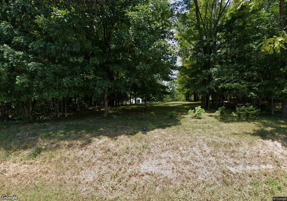
2289 Lock B Rd N Clarksville, TN 37043
Estimated Value: $461,000 - $696,152
--
Bed
--
Bath
2,196
Sq Ft
$265/Sq Ft
Est. Value
About This Home
This home is located at 2289 Lock B Rd N, Clarksville, TN 37043 and is currently estimated at $582,038, approximately $265 per square foot. 2289 Lock B Rd N is a home with nearby schools including East Montgomery Elementary School, Richview Middle School, and Clarksville High School.
Ownership History
Date
Name
Owned For
Owner Type
Purchase Details
Closed on
Sep 3, 2008
Sold by
Pugh Richard J
Bought by
Bratton George E
Current Estimated Value
Home Financials for this Owner
Home Financials are based on the most recent Mortgage that was taken out on this home.
Original Mortgage
$121,500
Interest Rate
6.49%
Purchase Details
Closed on
Aug 27, 2003
Sold by
Truitt Jeffery M
Bought by
Pugh Richard J
Create a Home Valuation Report for This Property
The Home Valuation Report is an in-depth analysis detailing your home's value as well as a comparison with similar homes in the area
Home Values in the Area
Average Home Value in this Area
Purchase History
| Date | Buyer | Sale Price | Title Company |
|---|---|---|---|
| Bratton George E | $135,000 | -- | |
| Pugh Richard J | $80,000 | -- |
Source: Public Records
Mortgage History
| Date | Status | Borrower | Loan Amount |
|---|---|---|---|
| Closed | Pugh Richard J | $121,500 |
Source: Public Records
Tax History Compared to Growth
Tax History
| Year | Tax Paid | Tax Assessment Tax Assessment Total Assessment is a certain percentage of the fair market value that is determined by local assessors to be the total taxable value of land and additions on the property. | Land | Improvement |
|---|---|---|---|---|
| 2024 | $3,287 | $156,521 | $0 | $0 |
| 2023 | $3,287 | $89,506 | $0 | $0 |
| 2022 | $2,676 | $89,506 | $0 | $0 |
| 2021 | $2,676 | $89,506 | $0 | $0 |
| 2020 | $2,676 | $89,506 | $0 | $0 |
| 2019 | $2,676 | $89,506 | $0 | $0 |
| 2018 | $2,226 | $67,307 | $0 | $0 |
| 2017 | $2,226 | $72,508 | $0 | $0 |
| 2016 | $2,226 | $72,508 | $0 | $0 |
| 2015 | $2,157 | $72,508 | $0 | $0 |
| 2014 | $2,157 | $72,508 | $0 | $0 |
| 2013 | $63 | $2,000 | $0 | $0 |
Source: Public Records
Map
Nearby Homes
- 2264 Lock B Rd N
- 2355 Davidson Graveyard Rd
- 2169 Lock B Rd N
- 2635 Lock B Rd N
- 2105 Lock B Rd N
- 1640 Harvill Rd
- 1870 Hickory Point Rd
- 1800 Hickory Point Rd
- 0 Gholson Rd
- 0 Southside Rd
- 1840 Gholson Rd
- 1832 Gholson Rd
- 1824 Gholson Rd
- 1816 Gholson Rd
- 1808 Gholson Rd
- 2526 Bearden Rd
- 8 Jarrell Ridge Rd
- 1 Jarrell Ridge Rd
- 2 Jarrell Ridge Rd
- 3 Jarrell Ridge Rd
- 2301 Lock B Rd N
- 2080 Muddy Branch Rd
- 2266 Lock B Rd N
- 2631 Holt Ln
- 2274 Lock B Rd N
- 2641 Holt Ln
- 2265 Holt Rd
- 2620 Holt Ln
- 2262 Lock B Rd N
- 2100 Holt Rd
- 2651 Holt Ln
- 2300 Lock B Rd N
- 0 Muddy Branch Rd Unit RTC2454965
- 0 Muddy Branch Rd Unit RTC2392457
- 0 Muddy Branch Rd Unit RTC2375693
- 2630 Holt Ln
- 2365 Lock B Rd N
- 2060 Muddy Branch Rd
- 2661 Holt Ln
- 2360 Lock B Rd N
