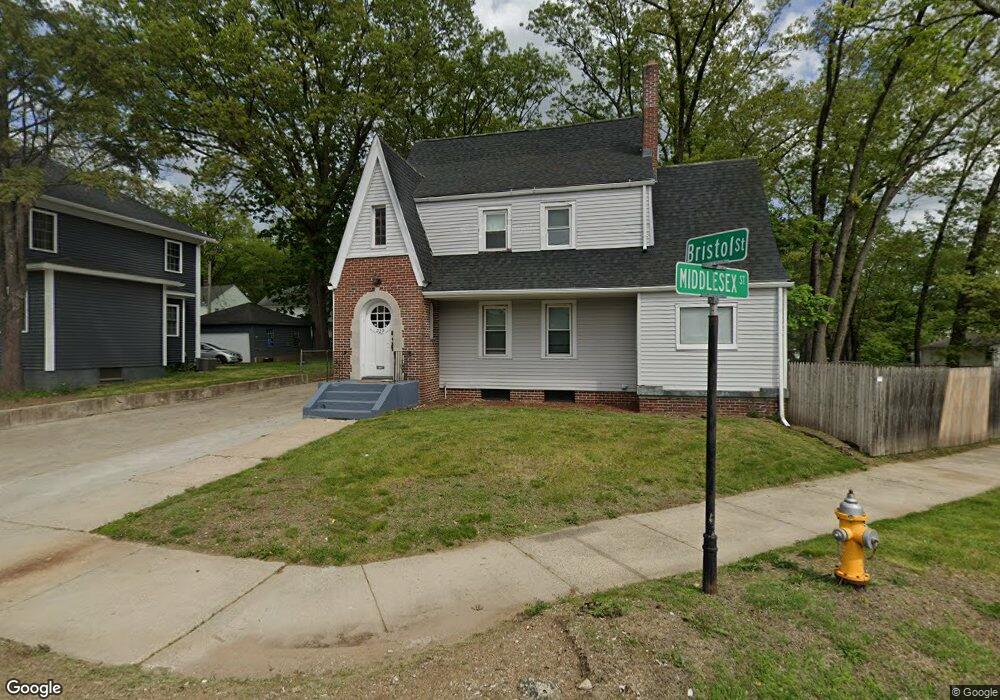
229 Bristol St Springfield, MA 01109
Upper Hill NeighborhoodEstimated Value: $294,272 - $322,000
3
Beds
2
Baths
2,198
Sq Ft
$140/Sq Ft
Est. Value
About This Home
This home is located at 229 Bristol St, Springfield, MA 01109 and is currently estimated at $308,568, approximately $140 per square foot. 229 Bristol St is a home located in Hampden County with nearby schools including Daniel B Brunton, John J Duggan Middle, and Springfield High School of Science and Technology.
Ownership History
Date
Name
Owned For
Owner Type
Purchase Details
Closed on
Dec 12, 2018
Sold by
Nicholson Joseph L
Bought by
Graduate Housing Services
Current Estimated Value
Purchase Details
Closed on
Dec 24, 1974
Bought by
Nicholson Joseph L and Nicholson Mary H
Create a Home Valuation Report for This Property
The Home Valuation Report is an in-depth analysis detailing your home's value as well as a comparison with similar homes in the area
Home Values in the Area
Average Home Value in this Area
Purchase History
| Date | Buyer | Sale Price | Title Company |
|---|---|---|---|
| Graduate Housing Services | $68,000 | -- | |
| Nicholson Joseph L | $18,900 | -- |
Source: Public Records
Mortgage History
| Date | Status | Borrower | Loan Amount |
|---|---|---|---|
| Previous Owner | Nicholson Joseph L | $19,000 | |
| Previous Owner | Nicholson Joseph L | $68,000 | |
| Previous Owner | Nicholson Joseph L | $60,196 | |
| Previous Owner | Nicholson Joseph L | $34,000 |
Source: Public Records
Tax History
| Year | Tax Paid | Tax Assessment Tax Assessment Total Assessment is a certain percentage of the fair market value that is determined by local assessors to be the total taxable value of land and additions on the property. | Land | Improvement |
|---|---|---|---|---|
| 2025 | $3,373 | $215,100 | $32,000 | $183,100 |
| 2024 | $3,432 | $213,700 | $32,000 | $181,700 |
| 2023 | $3,231 | $189,500 | $29,100 | $160,400 |
| 2022 | $3,030 | $161,000 | $27,200 | $133,800 |
| 2021 | $3,113 | $164,700 | $19,300 | $145,400 |
| 2020 | $3,033 | $155,300 | $19,300 | $136,000 |
| 2019 | $2,942 | $149,500 | $16,400 | $133,100 |
| 2018 | $2,791 | $141,800 | $16,400 | $125,400 |
| 2017 | $2,636 | $134,100 | $15,500 | $118,600 |
| 2016 | $2,371 | $120,600 | $15,500 | $105,100 |
| 2015 | $2,433 | $123,700 | $15,500 | $108,200 |
Source: Public Records
Map
Nearby Homes
- 135-137 Suffolk St
- 124-126 Westford Cir
- 0 NS (24) Alden St
- 89 Bristol St
- 111 Marlborough St
- 62-64 Bristol St
- 21 Westford Cir
- 31-33 Suffolk St
- 11 Ina St
- 87 Fenwick St
- 283 Wilbraham Rd
- 189 Northampton Ave
- 48-50 Dresden St
- 19 Westford Ave
- 22 Amanda St
- 25 Dresden St
- 44 Amanda St
- 41 Olive St
- 236 Pondview Dr
- 290 Quincy St
- 225 Bristol St
- 221 Bristol St
- 215 Bristol St
- 226 Norfolk St
- 209 Bristol St
- 207 Middlesex St
- 220 Middlesex St Unit 222
- 220 Norfolk St Unit 222
- 216 Middlesex St
- 216 Middlesex St
- 245 Norfolk St
- 241 Norfolk St
- 205 Bristol St
- 235 Norfolk St
- 251 Norfolk St
- 216 Norfolk St
- 229 Norfolk St
- 210 Middlesex St
- 206 Bristol St
- 225 Norfolk St
Your Personal Tour Guide
Ask me questions while you tour the home.