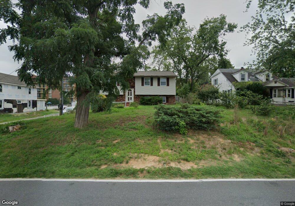
229 Brock Bridge Rd Laurel, MD 20724
Maryland City NeighborhoodEstimated Value: $435,000 - $472,000
--
Bed
3
Baths
996
Sq Ft
$456/Sq Ft
Est. Value
About This Home
This home is located at 229 Brock Bridge Rd, Laurel, MD 20724 and is currently estimated at $454,188, approximately $456 per square foot. 229 Brock Bridge Rd is a home located in Anne Arundel County with nearby schools including Maryland City Elementary School, Meade Middle School, and Meade High School.
Ownership History
Date
Name
Owned For
Owner Type
Purchase Details
Closed on
Nov 5, 2021
Sold by
Ahmed Waheed Abdul and Ahmed Fatima Bilquees
Bought by
Anne Arundel County
Current Estimated Value
Purchase Details
Closed on
Jun 30, 2004
Sold by
Dawson Mack
Bought by
Ahmed Waheed Abdul and Ahmed Fatima Bilquees
Create a Home Valuation Report for This Property
The Home Valuation Report is an in-depth analysis detailing your home's value as well as a comparison with similar homes in the area
Home Values in the Area
Average Home Value in this Area
Purchase History
| Date | Buyer | Sale Price | Title Company |
|---|---|---|---|
| Anne Arundel County | $15,000 | None Available | |
| Ahmed Waheed Abdul | $262,000 | -- |
Source: Public Records
Mortgage History
| Date | Status | Borrower | Loan Amount |
|---|---|---|---|
| Closed | Ahmed Waheed Abdul | -- |
Source: Public Records
Tax History Compared to Growth
Tax History
| Year | Tax Paid | Tax Assessment Tax Assessment Total Assessment is a certain percentage of the fair market value that is determined by local assessors to be the total taxable value of land and additions on the property. | Land | Improvement |
|---|---|---|---|---|
| 2025 | $2,871 | $274,300 | $109,500 | $164,800 |
| 2024 | $2,871 | $274,300 | $109,500 | $164,800 |
| 2023 | $2,796 | $274,300 | $109,500 | $164,800 |
| 2022 | $2,631 | $285,400 | $161,600 | $123,800 |
| 2021 | $5,171 | $278,200 | $0 | $0 |
| 2020 | $2,500 | $271,000 | $0 | $0 |
| 2019 | $4,817 | $263,800 | $156,600 | $107,200 |
| 2018 | $2,596 | $256,000 | $0 | $0 |
| 2017 | $2,290 | $248,200 | $0 | $0 |
| 2016 | -- | $240,400 | $0 | $0 |
| 2015 | -- | $236,133 | $0 | $0 |
| 2014 | -- | $231,867 | $0 | $0 |
Source: Public Records
Map
Nearby Homes
- 231 Brock Bridge Rd
- 235 Brock Bridge Rd
- 237 Brock Bridge Rd
- 266 Brock Bridge Rd
- 229 Old Line Ave
- 242 Elkton S
- 253 Ironshire S
- 3381 Horsehead S
- 313 Old Line Ave
- 3381 Style Ave
- 11 S Carol St
- 5 S Paula St
- 328 Vale Summit S
- 9962B Count Fleet Crescent
- 9964B Count Fleet Crescent
- 9966B Count Fleet Crescent
- 9968B Count Fleet Crescent
- 9970B Count Fleet Crescent
- 9958B Count Fleet Crescent
- 9956B Count Fleet Crescent
- 227 Brock Bridge Rd
- 225 Brock Bridge Rd
- 223 Brock Bridge Rd
- 3605 Laurel Fort Meade Rd
- 3561 Laurel Fort Meade Rd
- 233 Brock Bridge Rd
- 3581 Laurel Fort Meade Rd
- 3601 Laurel Fort Meade Rd
- 3563 Laurel Fort Meade Rd
- 3563 Laurel Fort Meade Rd
- 289 Brock Bridge Rd
- 241 Brock Bridge Rd
- 243 Brock Bridge Rd
- 3607 Laurel Fort Meade Rd
- 3511 Wines Ln
- 8615 Brock Bridge Rd
- 245 Brock Bridge Rd
- 250 Brock Bridge Rd
- 245 Sharptown S
- 247 Brock Bridge Rd