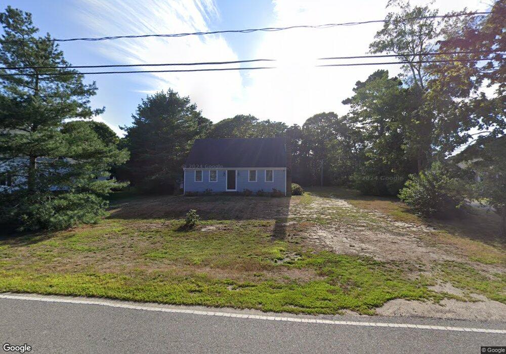
229 Division St Dennis Port, MA 02639
Dennis Port NeighborhoodEstimated Value: $606,000 - $649,472
4
Beds
2
Baths
1,501
Sq Ft
$420/Sq Ft
Est. Value
About This Home
This home is located at 229 Division St, Dennis Port, MA 02639 and is currently estimated at $630,618, approximately $420 per square foot. 229 Division St is a home located in Barnstable County with nearby schools including Dennis-Yarmouth Regional High School.
Ownership History
Date
Name
Owned For
Owner Type
Purchase Details
Closed on
Oct 16, 2008
Sold by
Jordan Albert J and Jordan John A
Bought by
Jordan John A and Jordan Kristen C
Current Estimated Value
Purchase Details
Closed on
Dec 16, 1999
Sold by
Oram Richard J and Oram Mary E
Bought by
Jordan Elizabeth K and Jordan John A
Home Financials for this Owner
Home Financials are based on the most recent Mortgage that was taken out on this home.
Original Mortgage
$110,000
Interest Rate
7.81%
Mortgage Type
Purchase Money Mortgage
Create a Home Valuation Report for This Property
The Home Valuation Report is an in-depth analysis detailing your home's value as well as a comparison with similar homes in the area
Home Values in the Area
Average Home Value in this Area
Purchase History
| Date | Buyer | Sale Price | Title Company |
|---|---|---|---|
| Jordan John A | -- | -- | |
| Jordan Elizabeth K | $152,000 | -- |
Source: Public Records
Mortgage History
| Date | Status | Borrower | Loan Amount |
|---|---|---|---|
| Previous Owner | Jordan Elizabeth K | $102,000 | |
| Previous Owner | Jordan Elizabeth K | $110,000 |
Source: Public Records
Tax History Compared to Growth
Tax History
| Year | Tax Paid | Tax Assessment Tax Assessment Total Assessment is a certain percentage of the fair market value that is determined by local assessors to be the total taxable value of land and additions on the property. | Land | Improvement |
|---|---|---|---|---|
| 2025 | $2,348 | $542,200 | $155,500 | $386,700 |
| 2024 | $2,170 | $494,300 | $158,300 | $336,000 |
| 2023 | $2,099 | $449,400 | $143,900 | $305,500 |
| 2022 | $2,078 | $371,000 | $144,000 | $227,000 |
| 2021 | $3,972 | $305,900 | $127,100 | $178,800 |
| 2020 | $1,803 | $295,600 | $127,100 | $168,500 |
| 2019 | $1,694 | $274,500 | $124,600 | $149,900 |
| 2018 | $3,602 | $260,000 | $118,600 | $141,400 |
| 2017 | $1,599 | $260,000 | $118,600 | $141,400 |
| 2016 | $1,523 | $233,300 | $131,800 | $101,500 |
| 2015 | $1,493 | $233,300 | $131,800 | $101,500 |
| 2014 | $1,403 | $221,000 | $105,400 | $115,600 |
Source: Public Records
Map
Nearby Homes
- 141 Division St
- 141 Division St
- 47 Telegraph Rd Unit 1
- 91 Depot Rd W
- 11 Lane Rd
- 9 Country Ln
- 45 Route 28
- 9 Bells Neck Rd Unit 10
- 40 Willow St
- 12 Candlewood Ln Unit 2-9
- 10 Candlewood Ln Unit 2-1
- 79 Massachusetts 28
- 9 Mansion St
- 73 Division St
- 64 Smith St
- 148 Belmont Rd
- 24 Indian Trail
- 78 Upper County Rd Unit A&B
- 78 Upper County Rd
- 6 Bayberry Ln
- 235 Division St Unit M
- 235 Division St Unit 5
- 235 Division St Unit 4
- 235 Division St Unit 3
- 235 Division St Unit 2
- 235 Division St Unit 1
- 235 Division St Unit 6
- 235 Division St
- 221 Division St
- 179 Division St
- 177 Division St
- 236A Division St
- 241 Division St
- 217 Division St
- 187 Division St
- 173 Division St
- 108 Telegraph Rd
- 112 Telegraph Rd
- 112 Telegraph Rd Unit B
- 242A Division St