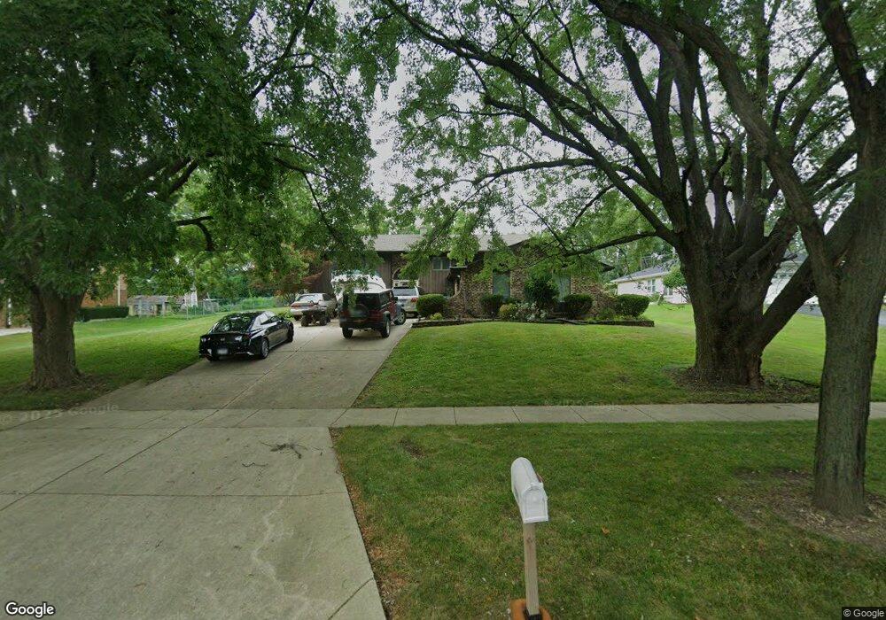
229 E Wise Rd Unit 2 Schaumburg, IL 60193
South Schaumburg NeighborhoodEstimated Value: $470,003 - $536,000
4
Beds
3
Baths
1,481
Sq Ft
$339/Sq Ft
Est. Value
About This Home
This home is located at 229 E Wise Rd Unit 2, Schaumburg, IL 60193 and is currently estimated at $502,251, approximately $339 per square foot. 229 E Wise Rd Unit 2 is a home located in Cook County with nearby schools including Frederick Nerge Elementary School, Margaret Mead Junior High School, and J B Conant High School.
Ownership History
Date
Name
Owned For
Owner Type
Purchase Details
Closed on
Feb 24, 2011
Sold by
Spizziri Christopher L and Spizziri Roseanna
Bought by
Ngo Thuy and Phan Dac D
Current Estimated Value
Home Financials for this Owner
Home Financials are based on the most recent Mortgage that was taken out on this home.
Original Mortgage
$271,580
Interest Rate
4.85%
Mortgage Type
New Conventional
Purchase Details
Closed on
Jul 15, 1998
Sold by
Lavalle Ronald E and Lavalle Angela L
Bought by
Spizziri Christopher L and Oliveri Rosa Ann
Home Financials for this Owner
Home Financials are based on the most recent Mortgage that was taken out on this home.
Original Mortgage
$165,000
Interest Rate
6.99%
Create a Home Valuation Report for This Property
The Home Valuation Report is an in-depth analysis detailing your home's value as well as a comparison with similar homes in the area
Home Values in the Area
Average Home Value in this Area
Purchase History
| Date | Buyer | Sale Price | Title Company |
|---|---|---|---|
| Ngo Thuy | $268,000 | Stewart Title Company | |
| Spizziri Christopher L | $245,000 | -- |
Source: Public Records
Mortgage History
| Date | Status | Borrower | Loan Amount |
|---|---|---|---|
| Previous Owner | Ngo Thuy | $271,580 | |
| Previous Owner | Spizziri Christopher L | $165,000 |
Source: Public Records
Tax History
| Year | Tax Paid | Tax Assessment Tax Assessment Total Assessment is a certain percentage of the fair market value that is determined by local assessors to be the total taxable value of land and additions on the property. | Land | Improvement |
|---|---|---|---|---|
| 2025 | $9,436 | $44,000 | $9,315 | $34,685 |
| 2024 | $9,436 | $34,064 | $8,280 | $25,784 |
| 2023 | $9,122 | $37,000 | $8,280 | $28,720 |
| 2022 | $9,122 | $37,000 | $8,280 | $28,720 |
| 2021 | $6,519 | $24,837 | $23,287 | $1,550 |
| 2020 | $6,474 | $24,837 | $23,287 | $1,550 |
| 2019 | $6,478 | $27,597 | $23,287 | $4,310 |
| 2018 | $6,262 | $24,301 | $19,665 | $4,636 |
| 2017 | $6,181 | $24,301 | $19,665 | $4,636 |
| 2016 | $6,743 | $26,907 | $19,665 | $7,242 |
| 2015 | $6,447 | $24,172 | $16,560 | $7,612 |
| 2014 | $6,392 | $24,172 | $16,560 | $7,612 |
| 2013 | $6,969 | $24,172 | $16,560 | $7,612 |
Source: Public Records
Map
Nearby Homes
- 1326 Summit Dr
- 1100 Boston Harbor Unit 7004
- 411 Drake Cir Unit 401B
- 518 E Niagara Ave
- 1064 Hampton Harbor Unit 1064
- 1055 Hampton Harbor Unit 1055
- 20 Shore Dr
- 620 S Point Dr
- 134 Lunt Ave
- 207 Mountain Interval Rd Unit 7230
- 240 Warren Ln Unit 11348
- 211 Steeple Bush Ln Unit 10343
- 232 Warren Ln Unit 11546
- 1500 Illinois St
- 100 Pratt Blvd
- 1630 Myrtle Park St
- 733 Limerick Ln Unit 7333D
- 1200 Knottingham Ct Unit 2B
- 615 Newberry Dr
- 717 Killarney Ct Unit 2D
- 237 E Wise Rd
- 223 E Wise Rd
- 1216 Crest Ct
- 305 E Wise Rd
- 1215 Greenview Ct
- 253 Nantucket Harbor Unit 401
- 224 E Niagara Ave
- 224 E Niagara Ave
- 255 Nantucket Harbor Unit 404
- 257 Nantucket Harbor Unit 403
- 257 Nantucket Harbor Unit 257
- 271 Nantucket Harbor Unit 503
- 211 E Wise Rd
- 273 Nantucket Harbor Unit 502
- 269 Nantucket Harbor Unit 504
- 1221 Greenview Ct
- 239 Nantucket Harbor Unit 301
- 241 Nantucket Harbor Unit 302
- 237 Nantucket Harbor Unit 304
- 275 Nantucket Harbor Unit 501
Your Personal Tour Guide
Ask me questions while you tour the home.