229 E Wise Rd Unit 2 Schaumburg, IL 60193
South Schaumburg NeighborhoodEstimated Value: $486,062 - $608,000
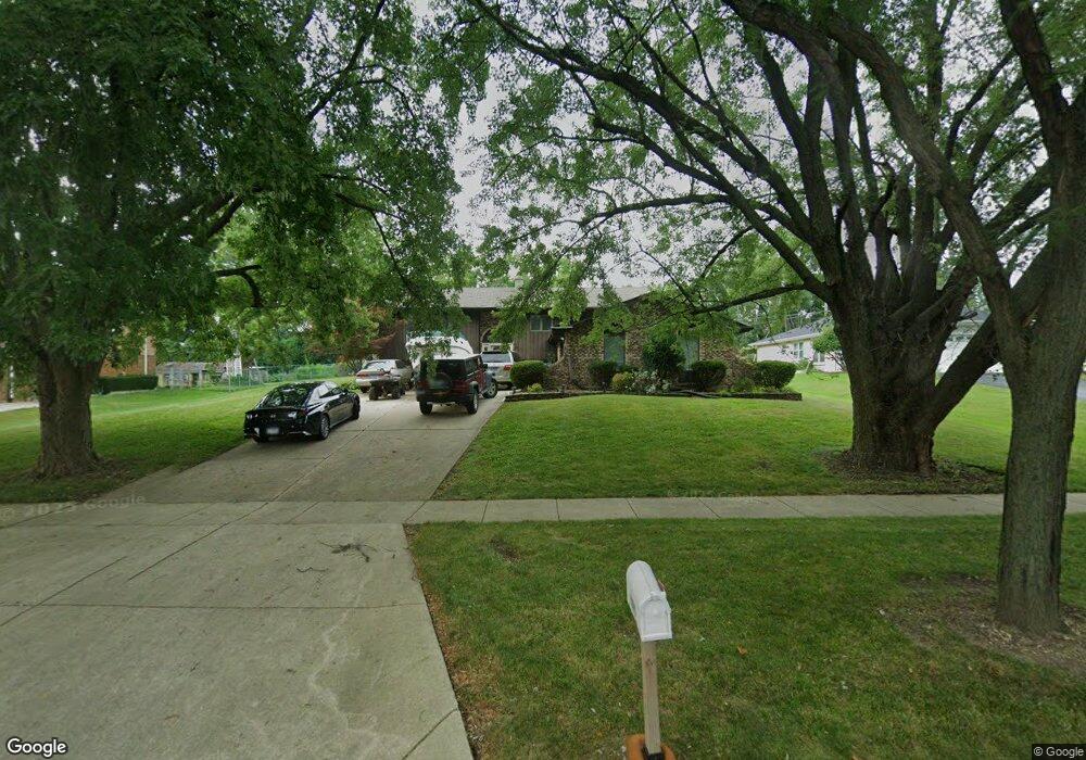
About This Home
This home is located at 229 E Wise Rd Unit 2, Schaumburg, IL 60193 and is currently estimated at $539,016, approximately $363 per square foot. 229 E Wise Rd Unit 2 is a home located in Cook County with nearby schools including Frederick Nerge Elementary School, Margaret Mead Junior High School, and J B Conant High School.
Ownership History
We collect this data history from publicly available records. To have your information removed, we recommend requesting removal directly through your county’s website.
Purchase Details
Home Financials for this Owner
Home Financials are based on the most recent Mortgage that was taken out on this home.Purchase Details
Home Financials for this Owner
Home Financials are based on the most recent Mortgage that was taken out on this home.Home Values in the Area
Average Home Value in this Area
Purchase History
We collect this data history from publicly available records. To have your information removed, we recommend requesting removal directly through your county’s website.
| Date | Buyer | Sale Price | Title Company |
|---|---|---|---|
| $268,000 | Stewart Title Company | ||
| $245,000 | -- |
Mortgage History
We collect this data history from publicly available records. To have your information removed, we recommend requesting removal directly through your county’s website.
| Date | Status | Borrower | Loan Amount |
|---|---|---|---|
| Previous Owner | $271,580 | ||
| Previous Owner | $165,000 |
Tax History
We collect this data history from publicly available records. To have your information removed, we recommend requesting removal directly through your county’s website.
| Year | Tax Paid | Tax Assessment Tax Assessment Total Assessment is a certain percentage of the fair market value that is determined by local assessors to be the total taxable value of land and additions on the property. | Land | Improvement |
|---|---|---|---|---|
| 2025 | $9,436 | $44,000 | $9,315 | $34,685 |
| 2024 | $9,436 | $34,064 | $8,280 | $25,784 |
| 2023 | $9,122 | $37,000 | $8,280 | $28,720 |
| 2022 | $9,122 | $37,000 | $8,280 | $28,720 |
| 2021 | $6,519 | $24,837 | $23,287 | $1,550 |
| 2020 | $6,474 | $24,837 | $23,287 | $1,550 |
| 2019 | $6,478 | $27,597 | $23,287 | $4,310 |
| 2018 | $6,262 | $24,301 | $19,665 | $4,636 |
| 2017 | $6,181 | $24,301 | $19,665 | $4,636 |
| 2016 | $6,743 | $26,907 | $19,665 | $7,242 |
| 2015 | $6,447 | $24,172 | $16,560 | $7,612 |
| 2014 | $6,392 | $24,172 | $16,560 | $7,612 |
| 2013 | $6,969 | $24,172 | $16,560 | $7,612 |
Map
- 1067 Glouchester Harbor Unit 2802
- 1134 Jamestown Ct
- 1070 Glouchester Harbor Unit 2502
- 124 E Monterey Ave
- 1516 Sunset Dr
- 1439 Blackhawk Dr
- 815 Claridge Ct
- 113 W Monterey Ave
- 199 E Nerge Rd
- 1400 Marion St
- 613 Thames Dr
- 204 Mountain Interval Rd Unit 6527
- 208 Mountain Interval Rd Unit 6426
- 846 Pheasant Walk Dr
- 310 Jennifer Ln
- 706 Huntington Ln
- 132 W Hartford Dr
- 721 Tipperary Ct Unit 1A
- 100 Pratt Blvd
- 1630 Myrtle Park St
- 237 E Wise Rd
- 223 E Wise Rd
- 1216 Crest Ct
- 305 E Wise Rd
- 1215 Greenview Ct
- 253 Nantucket Harbor Unit 401
- 224 E Niagara Ave
- 224 E Niagara Ave
- 259 Nantucket Harbor Unit 402
- 255 Nantucket Harbor Unit 404
- 257 Nantucket Harbor Unit 403
- 257 Nantucket Harbor Unit 257
- 271 Nantucket Harbor Unit 503
- 211 E Wise Rd
- 273 Nantucket Harbor Unit 502
- 269 Nantucket Harbor Unit 504
- 1221 Greenview Ct
- 239 Nantucket Harbor Unit 301
- 241 Nantucket Harbor Unit 302
- 237 Nantucket Harbor Unit 304
Ask me questions while you tour the home.