Estimated Value: $435,000 - $511,000
3
Beds
2
Baths
1,622
Sq Ft
$297/Sq Ft
Est. Value
About This Home
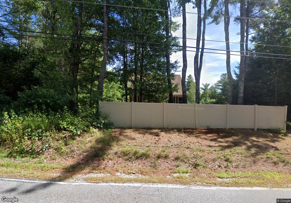
This home is located at 229 Frank C Gilman Hwy, Alton, NH 03809 and is currently estimated at $481,021, approximately $296 per square foot. 229 Frank C Gilman Hwy is a home located in Belknap County with nearby schools including Alton Central School (Elem) and Prospect Mountain High School.
Ownership History
Date
Name
Owned For
Owner Type
Purchase Details
Closed on
Aug 16, 2017
Sold by
Perkins Lloyd C
Bought by
Azzara James A and Azzara Jennifer D
Current Estimated Value
Home Financials for this Owner
Home Financials are based on the most recent Mortgage that was taken out on this home.
Original Mortgage
$233,689
Outstanding Balance
$194,520
Interest Rate
3.87%
Mortgage Type
FHA
Estimated Equity
$286,501
Purchase Details
Closed on
Jul 28, 2011
Sold by
Thrippleton John W and Thrippleton Donna M
Bought by
Perkins Lloyd C
Home Financials for this Owner
Home Financials are based on the most recent Mortgage that was taken out on this home.
Original Mortgage
$186,528
Interest Rate
4.52%
Mortgage Type
Purchase Money Mortgage
Create a Home Valuation Report for This Property
The Home Valuation Report is an in-depth analysis detailing your home's value as well as a comparison with similar homes in the area
Home Values in the Area
Average Home Value in this Area
Purchase History
| Date | Buyer | Sale Price | Title Company |
|---|---|---|---|
| Azzara James A | $238,000 | -- | |
| Perkins Lloyd C | $180,000 | -- |
Source: Public Records
Mortgage History
| Date | Status | Borrower | Loan Amount |
|---|---|---|---|
| Open | Azzara James A | $233,689 | |
| Previous Owner | Perkins Lloyd C | $186,528 |
Source: Public Records
Tax History Compared to Growth
Tax History
| Year | Tax Paid | Tax Assessment Tax Assessment Total Assessment is a certain percentage of the fair market value that is determined by local assessors to be the total taxable value of land and additions on the property. | Land | Improvement |
|---|---|---|---|---|
| 2024 | $3,372 | $259,800 | $122,100 | $137,700 |
| 2022 | $2,954 | $259,800 | $122,100 | $137,700 |
| 2021 | $2,957 | $259,800 | $122,100 | $137,700 |
| 2020 | $2,996 | $214,800 | $87,600 | $127,200 |
| 2019 | $2,687 | $214,800 | $87,600 | $127,200 |
| 2018 | $5,043 | $214,800 | $87,600 | $127,200 |
| 2017 | $2,762 | $214,800 | $87,600 | $127,200 |
| 2016 | $2,705 | $191,200 | $82,400 | $108,800 |
| 2015 | $2,728 | $191,200 | $82,400 | $108,800 |
| 2014 | $2,672 | $192,900 | $82,400 | $110,500 |
| 2013 | $2,404 | $178,900 | $65,800 | $113,100 |
Source: Public Records
Map
Nearby Homes
- 229 Frank C Gilman Hwy
- 42 Ingalls Terrace
- 31 Ingalls Terrace
- 11C New Hampshire 140
- 11C-2 New Hampshire 140
- 21 Silver Cascade Way
- 191 Main St
- 214 Main St
- 222 Main St
- 19 Depot St
- 86 Wolfeboro Hwy
- 23 Riverlake St
- 6 Suncook Valley Rd
- 18 Mount Major Hwy Unit 6
- 00 Baxter Place Unit 35
- 173 Suncook Valley Rd
- 0 Bay Hill Rd Unit 5
- 00 Marsha
- 00 Suncook Valley Rd Unit 13
- 115 Mount Major Hwy
- 218 Frank C Gilman Hwy
- 211 Frank C Gilman Hwy
- 236 Frank C Gilman Hwy
- 209 Frank C Gilman Hwy
- 191 Frank C Gilman Hwy Unit Map 8, Lot 22
- 197 Frank C Gilman Hwy
- 234 Frank C Gilman Hwy
- 29 Youngtown Rd
- 275 Frank C Gilman Hwy
- 266 Frank C Gilman Hwy
- 182 Frank C Gilman Hwy
- 264 Frank C Gilman Hwy
- 284 Frank C Gilman Hwy
- 281 Frank C Gilman Hwy
- 175 Frank C Gilman Hwy
- 58 Youngtown Rd
- 295 Frank C Gilman Hwy
- 18 Youngtown Rd
- 152 Frank C Gilman Hwy
- 79 Youngtown Rd