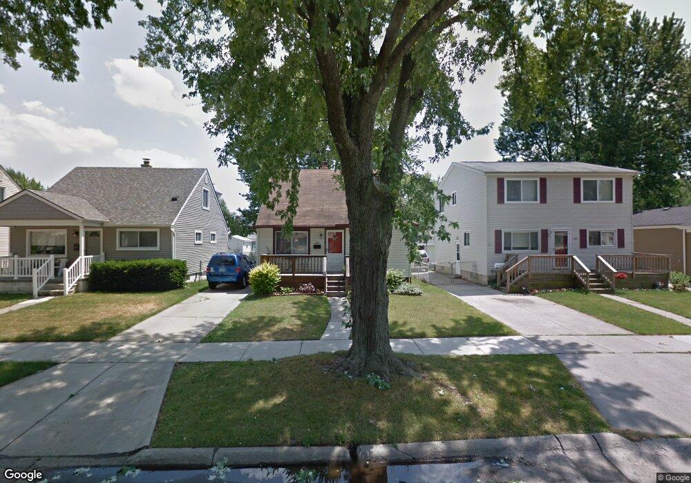
229 Massoit St Clawson, MI 48017
Estimated Value: $266,146 - $345,000
3
Beds
2
Baths
1,170
Sq Ft
$246/Sq Ft
Est. Value
About This Home
This home is located at 229 Massoit St, Clawson, MI 48017 and is currently estimated at $287,787, approximately $245 per square foot. 229 Massoit St is a home located in Oakland County with nearby schools including Clawson Middle School, Clawson High School, and Japhet School.
Ownership History
Date
Name
Owned For
Owner Type
Purchase Details
Closed on
May 22, 2017
Sold by
Parks Joshua E Douglas
Bought by
Parks Joshua E Douglas and Parks Hayley Marie
Current Estimated Value
Purchase Details
Closed on
Apr 15, 2008
Sold by
Jacobs Joseph R and Jacobs Petra
Bought by
The Bank Of New York Trust Co and Jp Morgan Chase Bank Na
Purchase Details
Closed on
Sep 30, 2004
Sold by
Morgan Ruth A
Bought by
Jacobs Joseph R
Purchase Details
Closed on
Jun 4, 1996
Sold by
Morgan David V
Bought by
Mortan Ruth A
Create a Home Valuation Report for This Property
The Home Valuation Report is an in-depth analysis detailing your home's value as well as a comparison with similar homes in the area
Home Values in the Area
Average Home Value in this Area
Purchase History
| Date | Buyer | Sale Price | Title Company |
|---|---|---|---|
| Parks Joshua E Douglas | -- | None Available | |
| The Bank Of New York Trust Co | $105,400 | None Available | |
| Jacobs Joseph R | $168,500 | Devon Title Agency | |
| Mortan Ruth A | -- | -- |
Source: Public Records
Tax History
| Year | Tax Paid | Tax Assessment Tax Assessment Total Assessment is a certain percentage of the fair market value that is determined by local assessors to be the total taxable value of land and additions on the property. | Land | Improvement |
|---|---|---|---|---|
| 2025 | $2,609 | $116,160 | $0 | $0 |
| 2024 | $2,493 | $110,220 | $0 | $0 |
| 2023 | $2,390 | $99,680 | $0 | $0 |
| 2022 | $3,055 | $92,470 | $0 | $0 |
| 2021 | $2,360 | $87,350 | $0 | $0 |
| 2020 | $2,286 | $83,090 | $0 | $0 |
| 2019 | $2,363 | $80,270 | $0 | $0 |
| 2018 | $2,346 | $73,770 | $0 | $0 |
| 2017 | $2,809 | $71,270 | $0 | $0 |
| 2016 | $3,051 | $66,470 | $0 | $0 |
| 2015 | -- | $61,590 | $0 | $0 |
| 2014 | -- | $53,850 | $0 | $0 |
| 2011 | -- | $47,450 | $0 | $0 |
Source: Public Records
Map
Nearby Homes
- 135 Gerald Ave
- 44 W Tacoma St
- 101 Jefferson Ave
- 45 E Tacoma St
- 515 S Marias Ave
- 659 Gargantua Ave
- 428 Bauman Ave
- 618 Mount Vernon Blvd
- 542 S Manitou Ave
- 609 John M Ave
- 3319 N Washington Ave
- 1512 Normandy Rd Unit 105
- 124 E Windemere Ave
- 602 Millard Ave
- 3813 Rochester Rd Unit 2
- 917 Kenwood St
- 911 Kenwood St
- 909 Kenwood St
- 918 Kenwood St
- 125 E 13 Mile Rd
- 237 Massoit St
- 221 Massoit St
- 243 Massoit St
- 211 Massoit St
- 238 Chippewa St
- 222 Chippewa St
- 246 Chippewa St
- 230 Chippewa St
- 205 Massoit St
- 261 Massoit St
- 254 Chippewa St
- 269 Massoit St
- 212 Chippewa St
- 228 Massoit St
- 238 Massoit St
- 262 Chippewa St
- 220 Massoit St
- 246 Massoit St
- 270 Chippewa St
- 204 Chippewa St
Your Personal Tour Guide
Ask me questions while you tour the home.