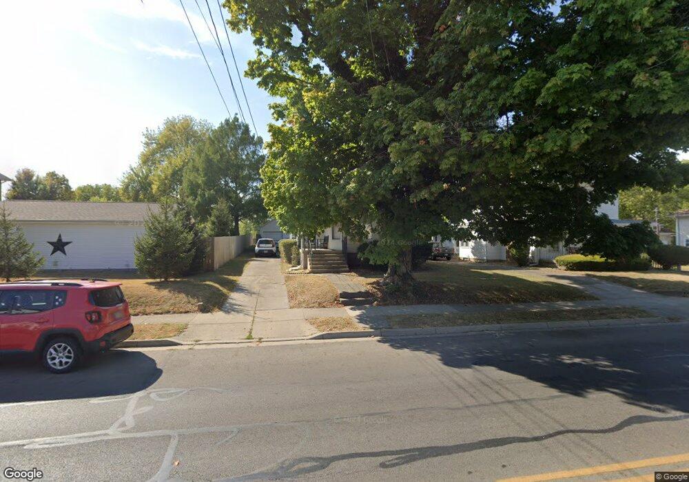
229 N Burnett Rd Springfield, OH 45503
Estimated Value: $101,000 - $159,175
4
Beds
2
Baths
2,160
Sq Ft
$60/Sq Ft
Est. Value
About This Home
This home is located at 229 N Burnett Rd, Springfield, OH 45503 and is currently estimated at $130,044, approximately $60 per square foot. 229 N Burnett Rd is a home located in Clark County with nearby schools including Warder Park-Wayne Elementary School, Schaefer Middle School, and Springfield High School.
Ownership History
Date
Name
Owned For
Owner Type
Purchase Details
Closed on
Dec 23, 2009
Sold by
Hart Barbara G and Hart John Michael
Bought by
Waldron Linda D
Current Estimated Value
Home Financials for this Owner
Home Financials are based on the most recent Mortgage that was taken out on this home.
Original Mortgage
$44,000
Interest Rate
6.62%
Mortgage Type
New Conventional
Purchase Details
Closed on
Mar 31, 2009
Sold by
Fannie Mae
Bought by
Hart Barbara G
Purchase Details
Closed on
Jan 22, 2009
Sold by
Hammond Betty Lynn and Hammond Walter J
Bought by
Federal National Mortgage Association
Purchase Details
Closed on
Aug 3, 1987
Sold by
Davis Scott and Davis Betty M
Bought by
Davis Betty L
Purchase Details
Closed on
Jan 1, 1980
Create a Home Valuation Report for This Property
The Home Valuation Report is an in-depth analysis detailing your home's value as well as a comparison with similar homes in the area
Home Values in the Area
Average Home Value in this Area
Purchase History
| Date | Buyer | Sale Price | Title Company |
|---|---|---|---|
| Waldron Linda D | $62,500 | None Available | |
| Hart Barbara G | $17,500 | None Available | |
| Federal National Mortgage Association | -- | Accutitle Agency Inc | |
| Davis Betty L | $48,400 | -- | |
| -- | $39,000 | -- |
Source: Public Records
Mortgage History
| Date | Status | Borrower | Loan Amount |
|---|---|---|---|
| Previous Owner | Waldron Linda D | $44,000 |
Source: Public Records
Tax History Compared to Growth
Tax History
| Year | Tax Paid | Tax Assessment Tax Assessment Total Assessment is a certain percentage of the fair market value that is determined by local assessors to be the total taxable value of land and additions on the property. | Land | Improvement |
|---|---|---|---|---|
| 2024 | $1,239 | $34,880 | $6,400 | $28,480 |
| 2023 | $1,239 | $34,880 | $6,400 | $28,480 |
| 2022 | $1,290 | $34,880 | $6,400 | $28,480 |
| 2021 | $1,013 | $25,710 | $4,270 | $21,440 |
| 2020 | $1,015 | $25,710 | $4,270 | $21,440 |
| 2019 | $1,487 | $25,710 | $4,270 | $21,440 |
| 2018 | $1,417 | $23,450 | $3,390 | $20,060 |
| 2017 | $1,417 | $29,386 | $3,388 | $25,998 |
| 2016 | $1,645 | $29,386 | $3,388 | $25,998 |
| 2015 | $2,323 | $26,264 | $3,388 | $22,876 |
| 2014 | $1,492 | $26,264 | $3,388 | $22,876 |
| 2013 | $1,477 | $26,264 | $3,388 | $22,876 |
Source: Public Records
Map
Nearby Homes
- 325 N Burnett Rd
- 112 N Burnett Rd
- 402 Roseland Ave E
- 319 Bellevue Ave
- 127 Bellevue Ave
- 196 Belleaire Ave
- 415 Belleaire Ave
- 2702 Maplewood Ave
- 320 N Clairmont Ave
- 2256 Hillside Ave
- 120 S Fostoria Ave
- 2201 Woodside Ave
- 2226 E High St
- 2201 E High St
- 206-208 N Belmont Ave
- 26 N Belmont Ave
- 184 Willis Ave
- 327 Buxton Ave
- 2020 Woodside Ave
- 360 Buxton Ave
- 305-305 1/ N Burnett Rd
- 305 N Burnett Rd Unit 305
- 225 N Burnett Rd
- 266 N Burnett Rd
- 221 N Burnett Rd
- 228 N Burnett Rd
- 315 N Burnett Rd
- 311 N Burnett Rd
- 226 N Burnett Rd
- 226 N Burnett Rd
- 319 N Burnett Rd
- 211 N Burnett Rd
- 220 N Burnett Rd
- 312 N Burnett Rd
- 318 N Burnett Rd
- 207 N Burnett Rd
- 210 N Burnett Rd
- 131 N Burnett Rd Unit 133
- 331 N Burnett Rd
- 328 N Burnett Rd