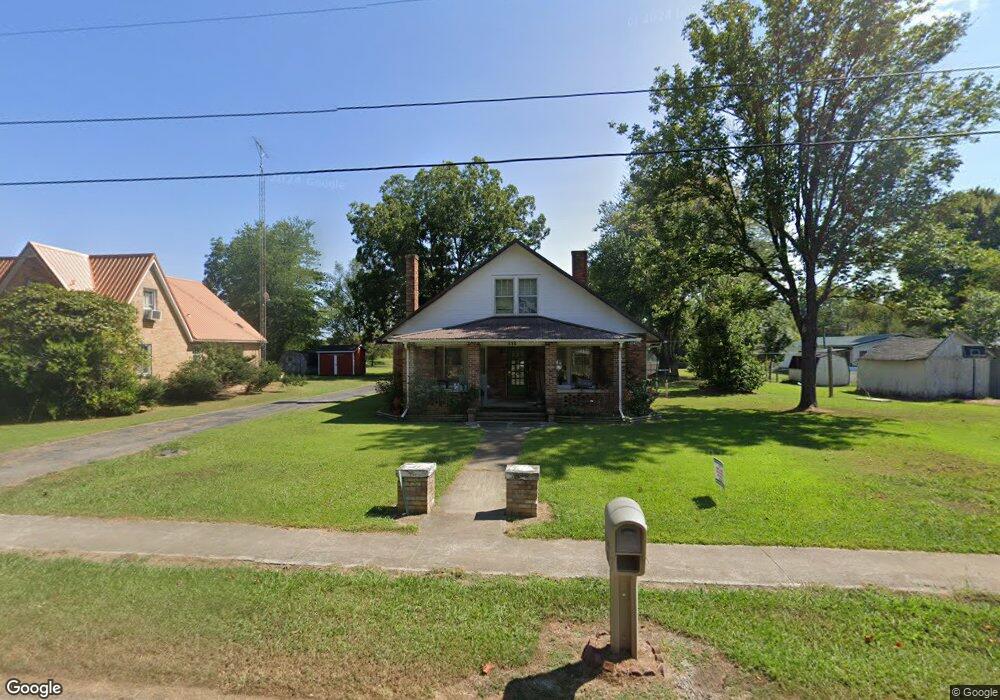
229 W Main St Puryear, TN 38251
Estimated Value: $115,443 - $153,000
--
Bed
1
Bath
1,303
Sq Ft
$100/Sq Ft
Est. Value
About This Home
This home is located at 229 W Main St, Puryear, TN 38251 and is currently estimated at $130,861, approximately $100 per square foot. 229 W Main St is a home located in Henry County.
Ownership History
Date
Name
Owned For
Owner Type
Purchase Details
Closed on
Apr 8, 2016
Sold by
Jenkins Thomas
Bought by
Velazquez Adriana C
Current Estimated Value
Home Financials for this Owner
Home Financials are based on the most recent Mortgage that was taken out on this home.
Original Mortgage
$65,398
Outstanding Balance
$51,955
Interest Rate
3.68%
Mortgage Type
New Conventional
Estimated Equity
$78,906
Purchase Details
Closed on
Nov 18, 2015
Sold by
Jenkins Kenneth Ray
Bought by
Allen Jeff and Allen Melissa
Purchase Details
Closed on
Dec 19, 1980
Bought by
Jenkins William and Jenkins Gloria
Purchase Details
Closed on
Jun 6, 1979
Create a Home Valuation Report for This Property
The Home Valuation Report is an in-depth analysis detailing your home's value as well as a comparison with similar homes in the area
Home Values in the Area
Average Home Value in this Area
Purchase History
| Date | Buyer | Sale Price | Title Company |
|---|---|---|---|
| Velazquez Adriana C | $63,600 | -- | |
| Allen Jeff | $4,500 | -- | |
| Jenkins William | -- | -- | |
| -- | -- | -- |
Source: Public Records
Mortgage History
| Date | Status | Borrower | Loan Amount |
|---|---|---|---|
| Open | Velazquez Adriana C | $65,398 |
Source: Public Records
Tax History Compared to Growth
Tax History
| Year | Tax Paid | Tax Assessment Tax Assessment Total Assessment is a certain percentage of the fair market value that is determined by local assessors to be the total taxable value of land and additions on the property. | Land | Improvement |
|---|---|---|---|---|
| 2024 | -- | $19,625 | $1,700 | $17,925 |
| 2023 | $492 | $19,625 | $1,700 | $17,925 |
| 2022 | $372 | $19,625 | $1,700 | $17,925 |
| 2021 | $492 | $19,625 | $1,700 | $17,925 |
| 2020 | $372 | $19,625 | $1,700 | $17,925 |
| 2019 | $456 | $16,875 | $1,700 | $15,175 |
| 2018 | $456 | $16,875 | $1,700 | $15,175 |
| 2017 | $456 | $16,875 | $1,700 | $15,175 |
| 2016 | $451 | $16,875 | $1,700 | $15,175 |
| 2015 | $489 | $17,425 | $2,250 | $15,175 |
| 2014 | $439 | $17,425 | $2,250 | $15,175 |
| 2013 | $439 | $15,653 | $0 | $0 |
Source: Public Records
Map
Nearby Homes
- 236 W Chestnut St
- 9620 Hwy 641n
- 330 N Cherry St
- 317 Stokes St
- 0 Highway 140 E
- 200 Morris Rd
- 2614 Rice Humphrey Rd
- 0 Goldston Springs Rd
- 2935 Foundry Hill Rd
- 0 Old Paris Murray Rd
- 6580 N Hwy 641
- 6340 Highway 641 N
- 955 Martin Mill Rd
- 13570 Highway 641 N
- 0 Perkins Rd
- 00 Perkins Rd
- 000 Perkins Rd
- 0 Highway 641 N Unit 133861
- 1230 Perkins Rd
- 2794 Perkins Rd
- 225 W Main St
- 106 College St
- 233 W Main St
- 223 W Main St
- 228 W Main St
- 219 W Main St
- 230 W Main St
- 111 College St
- 220 W Main St
- 115 College St
- 216 W Main St
- 227 W Chestnut St
- 227 W Chestnut St
- 233 W Chestnut St
- 209 W Main St
- 219 W Chestnut St
- 212 W Main St
- 101 College St
- 215 W Chestnut St
- 208 W Main St