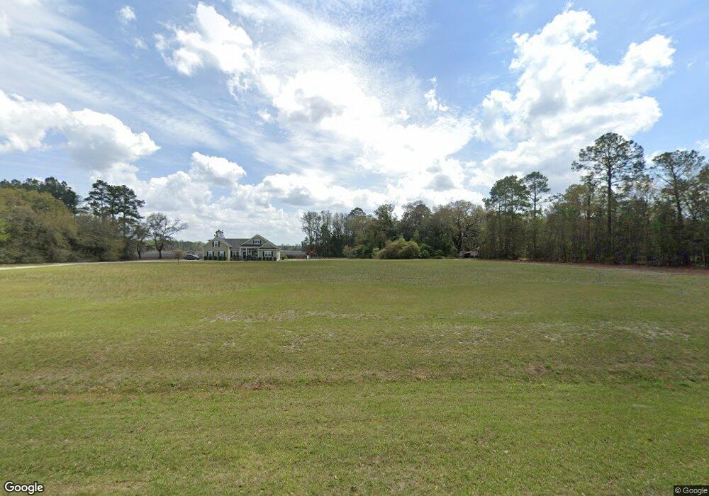
2290 Noel C Conaway Rd Guyton, GA 31312
Estimated Value: $173,000 - $777,626
--
Bed
1
Bath
1,164
Sq Ft
$371/Sq Ft
Est. Value
About This Home
This home is located at 2290 Noel C Conaway Rd, Guyton, GA 31312 and is currently estimated at $432,157, approximately $371 per square foot. 2290 Noel C Conaway Rd is a home located in Effingham County with nearby schools including Marlow Elementary School, South Effingham Middle School, and South Effingham High School.
Ownership History
Date
Name
Owned For
Owner Type
Purchase Details
Closed on
Apr 4, 2013
Sold by
Kessler Marcus Hampton
Bought by
Dasher Waylon G and Dasher Shley K
Current Estimated Value
Purchase Details
Closed on
Jul 21, 2010
Sold by
Kessler Perry Hampton
Bought by
Kessler Marcus Hampton
Purchase Details
Closed on
Jan 29, 2010
Sold by
Kessler Perry H
Bought by
Kessler Marcus Hampton
Purchase Details
Closed on
Aug 24, 1995
Bought by
Kessler Perry H
Purchase Details
Closed on
Mar 20, 1981
Bought by
Kessler Marcus Hampton
Create a Home Valuation Report for This Property
The Home Valuation Report is an in-depth analysis detailing your home's value as well as a comparison with similar homes in the area
Home Values in the Area
Average Home Value in this Area
Purchase History
| Date | Buyer | Sale Price | Title Company |
|---|---|---|---|
| Dasher Waylon G | -- | -- | |
| Kessler Marcus Hampton | -- | -- | |
| Kessler Marcus Hampton | -- | -- | |
| Kessler Perry H | -- | -- | |
| Kessler Marcus Hampton | -- | -- |
Source: Public Records
Tax History Compared to Growth
Tax History
| Year | Tax Paid | Tax Assessment Tax Assessment Total Assessment is a certain percentage of the fair market value that is determined by local assessors to be the total taxable value of land and additions on the property. | Land | Improvement |
|---|---|---|---|---|
| 2024 | $1,878 | $183,187 | $160,375 | $22,812 |
| 2023 | $1,173 | $15,324 | $0 | $15,324 |
| 2022 | $1,638 | $178,339 | $160,375 | $17,964 |
| 2021 | $1,583 | $178,212 | $160,375 | $17,837 |
| 2020 | $1,245 | $174,066 | $158,924 | $15,142 |
| 2019 | $1,233 | $174,066 | $158,924 | $15,142 |
| 2018 | $1,190 | $78,426 | $63,920 | $14,506 |
| 2017 | $1,166 | $78,426 | $63,920 | $14,506 |
| 2016 | -- | $78,233 | $63,920 | $14,314 |
| 2015 | -- | $78,234 | $63,920 | $14,314 |
| 2014 | -- | $78,233 | $63,920 | $14,314 |
Source: Public Records
Map
Nearby Homes
- 125 Annie Dr
- 1257 Noel C Conaway Rd
- 120 Annie Dr
- 102 Sam's Dr
- 104 Sams Dr
- 119 Sams Dr
- 139 Sams Dr
- 438 Kessler Loop
- 138 Sams Dr
- 108 Settlers Point Dr
- 105 Homestead Ct
- The Wysteria Plan at Buckingham Plantation
- The Clare Plan at Buckingham Plantation
- The Oxford Plan at Buckingham Plantation
- The Benson Plan at Buckingham Plantation
- The Stafford Plan at Buckingham Plantation
- The Jasper Plan at Buckingham Plantation
- The Ashton Plan at Buckingham Plantation
- 106 Buckingham Dr
- 100 Little Ben Ct
- 2300 Noel C Conaway Rd
- 103 Annie Dr
- 141 Annie Dr
- 149 Annie Dr
- 147 Annie Dr
- 137 Annie Dr
- 129 Annie Dr
- 2307 Noel C Conaway Rd
- 101 Rosewood Dr
- 2341 Noel C Conaway Rd
- 2281 Noel C Conaway Rd
- 102 Rosewood Dr
- 124 Ladessie Zeigler Rd
- 103 Rosewood Dr
- 2255 Noel C Conaway Rd
- 2337 Noel C Conaway Rd
- 104 Rosewood Dr
- 0 Rosewood Dr Unit 8663064
- 0 Rosewood Dr Unit 8639694
- 0 Rosewood Dr