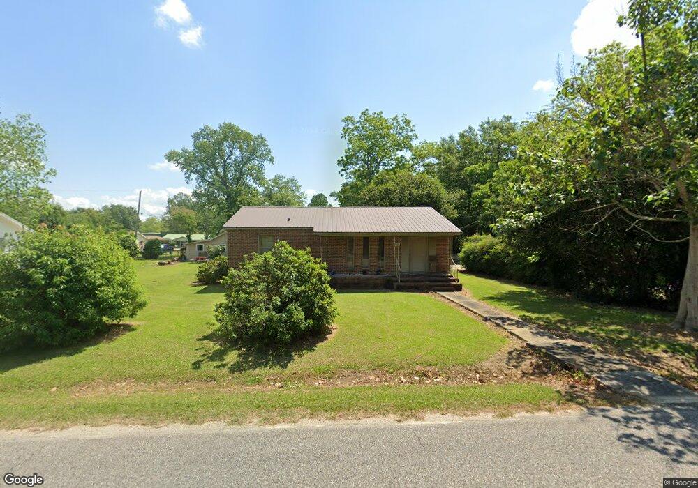
22910 Palmer St Robertsdale, AL 36567
Estimated Value: $235,000 - $278,000
2
Beds
1
Bath
1,767
Sq Ft
$142/Sq Ft
Est. Value
About This Home
This home is located at 22910 Palmer St, Robertsdale, AL 36567 and is currently estimated at $250,554, approximately $141 per square foot. 22910 Palmer St is a home located in Baldwin County with nearby schools including Robertsdale Elementary School, Central Baldwin Middle School, and Robertsdale High School.
Ownership History
Date
Name
Owned For
Owner Type
Purchase Details
Closed on
May 30, 2008
Sold by
Mccluskey James T and Mccluskey Sarah A
Bought by
Logan Gary G and Logan Larissa N
Current Estimated Value
Home Financials for this Owner
Home Financials are based on the most recent Mortgage that was taken out on this home.
Original Mortgage
$110,400
Outstanding Balance
$70,735
Interest Rate
6.02%
Mortgage Type
Purchase Money Mortgage
Estimated Equity
$179,819
Create a Home Valuation Report for This Property
The Home Valuation Report is an in-depth analysis detailing your home's value as well as a comparison with similar homes in the area
Home Values in the Area
Average Home Value in this Area
Purchase History
| Date | Buyer | Sale Price | Title Company |
|---|---|---|---|
| Logan Gary G | -- | None Available |
Source: Public Records
Mortgage History
| Date | Status | Borrower | Loan Amount |
|---|---|---|---|
| Open | Logan Gary G | $110,400 |
Source: Public Records
Tax History Compared to Growth
Tax History
| Year | Tax Paid | Tax Assessment Tax Assessment Total Assessment is a certain percentage of the fair market value that is determined by local assessors to be the total taxable value of land and additions on the property. | Land | Improvement |
|---|---|---|---|---|
| 2024 | $771 | $22,660 | $2,760 | $19,900 |
| 2023 | $710 | $20,980 | $3,260 | $17,720 |
| 2022 | $549 | $16,500 | $0 | $0 |
| 2021 | $416 | $13,980 | $0 | $0 |
| 2020 | $385 | $13,020 | $0 | $0 |
| 2019 | $381 | $12,920 | $0 | $0 |
| 2018 | $362 | $12,320 | $0 | $0 |
| 2017 | $346 | $11,860 | $0 | $0 |
| 2016 | $329 | $11,320 | $0 | $0 |
| 2015 | -- | $10,920 | $0 | $0 |
| 2014 | -- | $11,060 | $0 | $0 |
| 2013 | -- | $10,660 | $0 | $0 |
Source: Public Records
Map
Nearby Homes
- 18135 Hoiles St
- 22972 Lance Dr
- 18110 Richmond St
- 24440 Highway 59 Unit 3
- 18024 Nebraska St
- 18141 Pennsylvania St
- 0 Pete Dr Unit 3 378459
- 22893 Mobile St
- 0 Pearson Ln
- 22619 Hauge St
- 0 W Hammond St Unit 13, 14, 15 373473
- 22248 Fairway Dr
- 23038 Ridgewood Dr
- 22520 Nana Loop
- 22973 Ridgewood Dr
- 22525 Nana Loop W
- 23035 Ridgewood Dr
- 22171 Kendrick Ln
- 22894 Ridgewood Dr
- 18105 Scott Ave
- 22932 Palmer St
- 22890 Palmer St
- 18100 Peacher St
- 18039 Peacher St
- 22923 Wheatley St
- 18032 Peacher St
- 22945 Wheatley St
- 22893 Palmer St
- 22931 Palmer St
- 22974 Palmer St
- 22953 Palmer St
- 22860 Palmer St
- 18023 Hoiles St
- 22967 Wheatley St
- 22863 Palmer St
- 17916 Gill St
- 18076 Peacher St
- 18045 Hoiles St
- 0 Gill St
- 22975 Palmer St