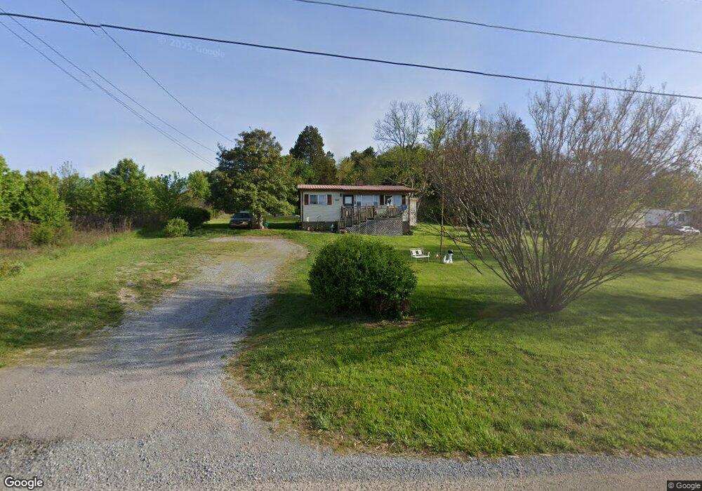
2292 Roe Junction Rd Morristown, TN 37813
Estimated Value: $146,000 - $354,000
2
Beds
1
Bath
1,040
Sq Ft
$208/Sq Ft
Est. Value
About This Home
This home is located at 2292 Roe Junction Rd, Morristown, TN 37813 and is currently estimated at $216,345, approximately $208 per square foot. 2292 Roe Junction Rd is a home located in Hamblen County with nearby schools including Witt Elementary School, Lincoln Heights Middle School, and Morristown West High School.
Ownership History
Date
Name
Owned For
Owner Type
Purchase Details
Closed on
May 6, 1997
Sold by
Watts Ruby L and Watts E
Bought by
Linda Bible
Current Estimated Value
Purchase Details
Closed on
Mar 4, 1995
Sold by
Watts Ruby
Bought by
Watts James Franklin
Purchase Details
Closed on
May 15, 1985
Bought by
Watts Ruby
Purchase Details
Closed on
Feb 18, 1983
Purchase Details
Closed on
Sep 12, 1979
Bought by
Wattss Sam and Wattss Ruby
Create a Home Valuation Report for This Property
The Home Valuation Report is an in-depth analysis detailing your home's value as well as a comparison with similar homes in the area
Home Values in the Area
Average Home Value in this Area
Purchase History
| Date | Buyer | Sale Price | Title Company |
|---|---|---|---|
| Linda Bible | $25,000 | -- | |
| Watts James Franklin | $18,000 | -- | |
| Watts Ruby | -- | -- | |
| -- | -- | -- | |
| Wattss Sam | $5,000 | -- |
Source: Public Records
Tax History Compared to Growth
Tax History
| Year | Tax Paid | Tax Assessment Tax Assessment Total Assessment is a certain percentage of the fair market value that is determined by local assessors to be the total taxable value of land and additions on the property. | Land | Improvement |
|---|---|---|---|---|
| 2024 | $255 | $12,925 | $3,350 | $9,575 |
| 2023 | $255 | $12,925 | $0 | $0 |
| 2022 | $255 | $12,925 | $3,350 | $9,575 |
| 2021 | $255 | $12,925 | $3,350 | $9,575 |
| 2020 | $255 | $12,925 | $3,350 | $9,575 |
| 2019 | $245 | $11,500 | $3,050 | $8,450 |
| 2018 | $245 | $11,500 | $3,050 | $8,450 |
| 2017 | $245 | $11,500 | $3,050 | $8,450 |
| 2016 | $229 | $11,500 | $3,050 | $8,450 |
| 2015 | $213 | $11,500 | $3,050 | $8,450 |
| 2014 | -- | $11,500 | $3,050 | $8,450 |
| 2013 | -- | $11,900 | $0 | $0 |
Source: Public Records
Map
Nearby Homes
- 2895 Coffey Rd
- 2018 Southwood Cir
- 1418 Mae Collins Rd
- 1049 Greenway Dr
- Darwin Plan at Southwood
- Robie Plan at Southwood
- Elston Plan at Southwood
- Belhaven Plan at Southwood
- Penwell Plan at Southwood
- Cali Plan at Southwood
- 1160 Statem Gap Rd
- 1708 Hindley Rd
- 3520 Sublett Rd
- 2262 Fernwood Church Rd
- 453 Statem Gap Rd
- 440 S Fairmont Ave
- 672 Shadow Ln
- 203 Lincoln Ave
- 837 Pauline Ave
- 305-365 Barkley Landing Dr
- 2230 Roe Junction Rd
- 2248 Roe Junction Rd
- 2291 Roe Junction Rd
- 2332 Roe Junction Rd
- 2460 Roe Junction Rd
- 2312 Roe Junction Rd
- 2440 Roe Junction Rd
- 2059 Valley Home Rd
- 2430 Roe Junction Rd
- 2300 Roe Junction Rd
- 2165 Valley Home Rd
- 2165 Roe Junction Rd
- 2089 Valley Home Rd
- 2079 Valley Home Rd
- 2080 Roe Junction Rd
- 2039 Valley Home Rd
- 2040 Roe Junction Rd
- 2050 Roe Junction Rd
- 2100 Valley Home Rd
- 2160 Valley Home Rd