2297 Rocky Weed Rd Berrien Springs, MI 49103
Estimated Value: $356,000 - $390,000
5
Beds
3
Baths
2,452
Sq Ft
$150/Sq Ft
Est. Value
About This Home
This home is located at 2297 Rocky Weed Rd, Berrien Springs, MI 49103 and is currently estimated at $368,602, approximately $150 per square foot. 2297 Rocky Weed Rd is a home located in Berrien County with nearby schools including Sylvester Elementary School, Mars Elementary School, and Berrien Springs Middle School.
Ownership History
Date
Name
Owned For
Owner Type
Purchase Details
Closed on
Jan 31, 2012
Sold by
Zimpleman Andrew E and Zimpleman Rachel L
Bought by
Siebold Randy Jay and Siebold Brenda Sue
Current Estimated Value
Purchase Details
Closed on
Nov 15, 2010
Sold by
Siebold Randy Jay and Siebold Brenda Sue
Bought by
Zimpleman Andrew E and Zimpleman Rachel L
Purchase Details
Closed on
Dec 3, 1991
Purchase Details
Closed on
Apr 3, 1991
Purchase Details
Closed on
Mar 1, 1986
Create a Home Valuation Report for This Property
The Home Valuation Report is an in-depth analysis detailing your home's value as well as a comparison with similar homes in the area
Home Values in the Area
Average Home Value in this Area
Purchase History
| Date | Buyer | Sale Price | Title Company |
|---|---|---|---|
| Siebold Randy Jay | -- | None Available | |
| Zimpleman Andrew E | -- | None Available | |
| -- | $50,000 | -- | |
| -- | $35,000 | -- | |
| -- | $35,000 | -- |
Source: Public Records
Tax History Compared to Growth
Tax History
| Year | Tax Paid | Tax Assessment Tax Assessment Total Assessment is a certain percentage of the fair market value that is determined by local assessors to be the total taxable value of land and additions on the property. | Land | Improvement |
|---|---|---|---|---|
| 2025 | $2,776 | $152,100 | $0 | $0 |
| 2024 | $2,254 | $137,000 | $0 | $0 |
| 2023 | $2,170 | $123,800 | $0 | $0 |
| 2022 | $1,992 | $108,900 | $0 | $0 |
| 2021 | $2,376 | $113,200 | $47,800 | $65,400 |
| 2020 | $2,357 | $114,800 | $0 | $0 |
| 2019 | $2,305 | $96,600 | $35,900 | $60,700 |
| 2018 | $2,025 | $96,600 | $0 | $0 |
| 2017 | $2,087 | $99,600 | $0 | $0 |
| 2016 | $2,024 | $97,400 | $0 | $0 |
| 2015 | $3,699 | $91,900 | $0 | $0 |
| 2014 | $3,483 | $96,700 | $0 | $0 |
Source: Public Records
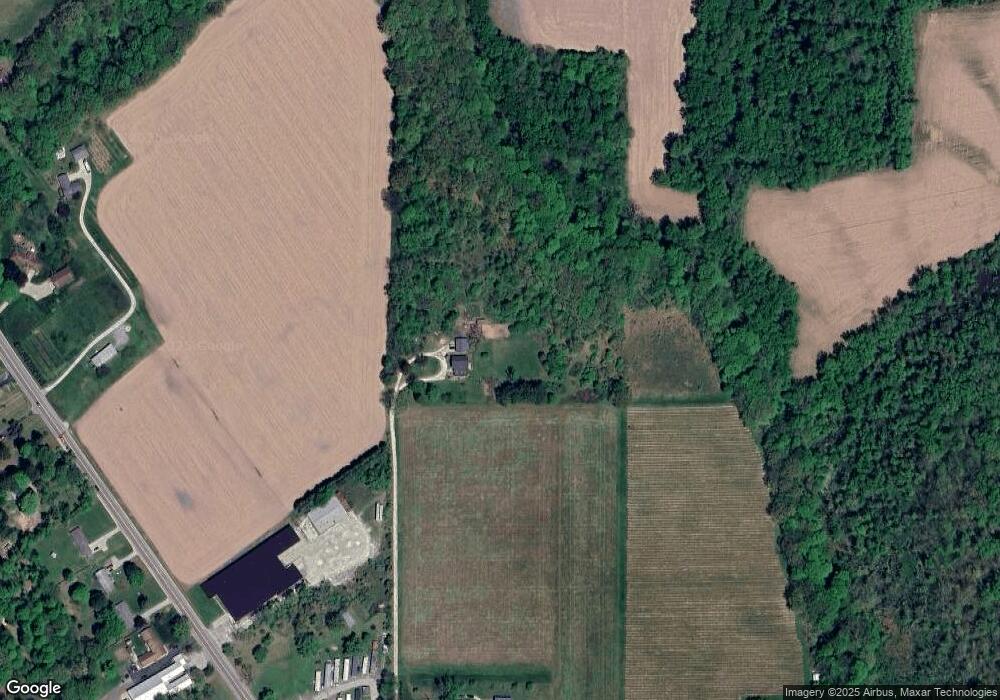
Map
Nearby Homes
- 6380 River Rd
- 5869 River Rd
- 2191 Suncrest Breeze
- 6130 Eidson Rd
- 5239 Mandiberry Ln Unit 6
- V/L Scottdale Rd
- Lot #6 S Dickinson Estates Dr
- V/L Parcel 1 Scottdale Rd
- 2049 E Hinchman Rd
- 0 V L E Hinchman Rd
- 4923 Knollwood Dr
- 4883 Knollwood Dr
- 1499 Prairie Dr
- Integrity 2280 Plan at Concord Ridge
- Integrity 1605 Plan at Concord Ridge
- Integrity 1610 Plan at Concord Ridge
- V/L E Hinchman Rd
- 8249 Parcel B M-139
- 4779 Pleasant Meadow
- 8249 Parcel C M-139
- 2331 Rocky Weed Rd
- 6545 Us Highway 31
- 6549 Us Highway 31
- 6344 Niles Rd
- 6332 Niles Rd
- 6444 E Ferry St
- 2473 Rocky Weed Rd
- 2473 Rocky Weed Rd
- 6602 Us Highway 31
- 2483 Rocky Weed Rd
- 6432 E Ferry St
- 139 M
- 6414 Michigan 139
- 6638 Us Highway 31
- 6645 Michigan 139
- 2123 Rocky Weed Rd
- 6398 E Ferry St
- 6645/6659 M-139
- 6576 Us Highway 31
- 6576 Us Highway 31