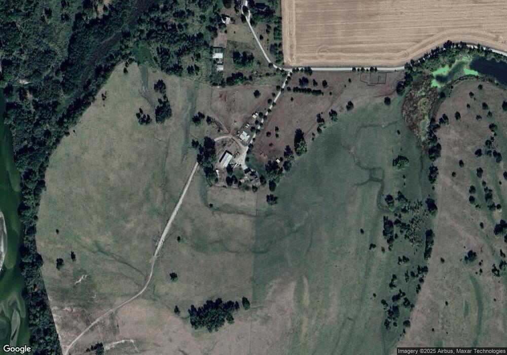
2299 Highway 275 Unit 1 West Point, NE 68788
Estimated Value: $431,000 - $516,000
5
Beds
2
Baths
2,632
Sq Ft
$177/Sq Ft
Est. Value
About This Home
This home is located at 2299 Highway 275 Unit 1, West Point, NE 68788 and is currently estimated at $466,332, approximately $177 per square foot. 2299 Highway 275 Unit 1 is a home located in Cuming County with nearby schools including West Point-Beemer Junior/Senior High School.
Ownership History
Date
Name
Owned For
Owner Type
Purchase Details
Closed on
Aug 14, 2020
Sold by
Doyle Bridget and Doyle Michael
Bought by
Cole Timothy L and Cole Melinda K
Current Estimated Value
Home Financials for this Owner
Home Financials are based on the most recent Mortgage that was taken out on this home.
Original Mortgage
$255,000
Outstanding Balance
$225,182
Interest Rate
3%
Mortgage Type
New Conventional
Estimated Equity
$241,150
Purchase Details
Closed on
Apr 1, 2011
Sold by
Baumert Tyler J and Baumert Denise H
Bought by
Doyle Michael and Doyle Bridget
Home Financials for this Owner
Home Financials are based on the most recent Mortgage that was taken out on this home.
Original Mortgage
$144,000
Interest Rate
4.98%
Mortgage Type
New Conventional
Create a Home Valuation Report for This Property
The Home Valuation Report is an in-depth analysis detailing your home's value as well as a comparison with similar homes in the area
Home Values in the Area
Average Home Value in this Area
Purchase History
| Date | Buyer | Sale Price | Title Company |
|---|---|---|---|
| Cole Timothy L | $300,000 | None Available | |
| Doyle Michael | $180,000 | -- |
Source: Public Records
Mortgage History
| Date | Status | Borrower | Loan Amount |
|---|---|---|---|
| Open | Cole Timothy L | $255,000 | |
| Previous Owner | Doyle Michael | $144,000 |
Source: Public Records
Tax History Compared to Growth
Tax History
| Year | Tax Paid | Tax Assessment Tax Assessment Total Assessment is a certain percentage of the fair market value that is determined by local assessors to be the total taxable value of land and additions on the property. | Land | Improvement |
|---|---|---|---|---|
| 2025 | $2,009 | $369,440 | $69,840 | $299,600 |
| 2024 | $2,009 | $332,365 | $66,770 | $265,595 |
| 2023 | $2,881 | $317,580 | $61,770 | $255,810 |
| 2022 | $2,687 | $267,500 | $46,630 | $220,870 |
| 2021 | $2,396 | $234,045 | $46,980 | $187,065 |
| 2020 | $2,086 | $206,080 | $46,980 | $159,100 |
| 2019 | $1,916 | $185,005 | $46,185 | $138,820 |
| 2018 | $1,921 | $186,150 | $47,295 | $138,855 |
| 2017 | $1,815 | $170,380 | $42,010 | $128,370 |
| 2016 | $1,814 | $161,065 | $43,110 | $117,955 |
| 2015 | $1,955 | $158,310 | $39,850 | $118,460 |
| 2014 | $2,097 | $149,390 | $35,470 | $113,920 |
| 2013 | $2,097 | $145,640 | $34,235 | $111,405 |
Source: Public Records
Map
Nearby Homes