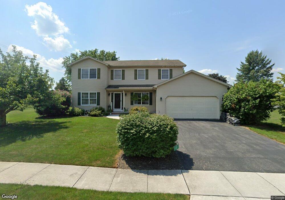
23 Ashfield Dr Unit 24 Littlestown, PA 17340
Estimated Value: $396,000 - $450,000
4
Beds
3
Baths
2,275
Sq Ft
$183/Sq Ft
Est. Value
About This Home
This home is located at 23 Ashfield Dr Unit 24, Littlestown, PA 17340 and is currently estimated at $417,032, approximately $183 per square foot. 23 Ashfield Dr Unit 24 is a home located in Adams County with nearby schools including Rolling Acres El School, Maple Avenue Middle School, and Littlestown Senior High School.
Ownership History
Date
Name
Owned For
Owner Type
Purchase Details
Closed on
Jan 7, 1993
Bought by
Noel Gregory T and Noel Jody L
Current Estimated Value
Create a Home Valuation Report for This Property
The Home Valuation Report is an in-depth analysis detailing your home's value as well as a comparison with similar homes in the area
Home Values in the Area
Average Home Value in this Area
Purchase History
| Date | Buyer | Sale Price | Title Company |
|---|---|---|---|
| Noel Gregory T | -- | -- |
Source: Public Records
Tax History Compared to Growth
Tax History
| Year | Tax Paid | Tax Assessment Tax Assessment Total Assessment is a certain percentage of the fair market value that is determined by local assessors to be the total taxable value of land and additions on the property. | Land | Improvement |
|---|---|---|---|---|
| 2025 | $5,412 | $285,900 | $57,900 | $228,000 |
| 2024 | $5,173 | $285,900 | $57,900 | $228,000 |
| 2023 | $5,071 | $285,900 | $57,900 | $228,000 |
| 2022 | $5,068 | $285,900 | $57,900 | $228,000 |
| 2021 | $4,889 | $285,900 | $57,900 | $228,000 |
| 2020 | $4,819 | $285,900 | $57,900 | $228,000 |
| 2019 | $4,716 | $285,900 | $57,900 | $228,000 |
| 2018 | $4,614 | $285,900 | $57,900 | $228,000 |
| 2017 | $4,454 | $285,900 | $57,900 | $228,000 |
| 2016 | -- | $285,900 | $57,900 | $228,000 |
| 2015 | -- | $285,900 | $57,900 | $228,000 |
| 2014 | -- | $285,900 | $57,900 | $228,000 |
Source: Public Records
Map
Nearby Homes
- 43 Ashfield Dr Unit 14
- 5 Manor Cir Unit 103
- 567 Lumber St
- 559 Lumber St
- 535 Lumber St
- 449 Glenwyn Dr
- 41 Smith Cir
- 349 Basehoar School Rd Unit 5
- 211 E King St
- 162 Newark St
- 61 E King St
- LOT 9 Mehring Rd
- 115 Charles St
- 117 Charles St
- 140 Apple Grove Ln Unit 425
- 440 N Queen St
- 135 Apple Grove Ln Unit 438
- 129 W King St
- 58 N Gala Unit 397
- 0 Locust Dr Unit PAAD2015910
- 25 Fieldcrest Dr Unit 25
- 25 Ashfield Dr Unit 23
- 24 Ashfield Dr Unit 48
- 19 Ashfield Dr Unit 30
- 28 Ashfield Dr Unit 49
- 23 Fieldcrest Dr Unit 26
- 22 Ashfield Dr Unit 47
- 24 Fieldcrest Dr Unit 29
- 27 Ashfield Dr Unit 22
- 20 Ashfield Dr Unit 46
- 22 Fieldcrest Dr Unit 28
- 29 Ashfield Dr Unit 21
- 21 Fieldcrest Dr Unit 27
- 18 Ashfield Dr Unit 45
- 34 Ashfield Dr Unit 50
- 4 Meadowview Ct Unit 32
- 38 Ashfield Dr Unit 51
- 15 Ashfield Dr Unit 31
- 40 Ashfield Dr Unit 52
- 18 Fieldcrest Dr Unit 158