Estimated Value: $1,823,000 - $2,470,000
2
Beds
1
Bath
483
Sq Ft
$4,598/Sq Ft
Est. Value
About This Home
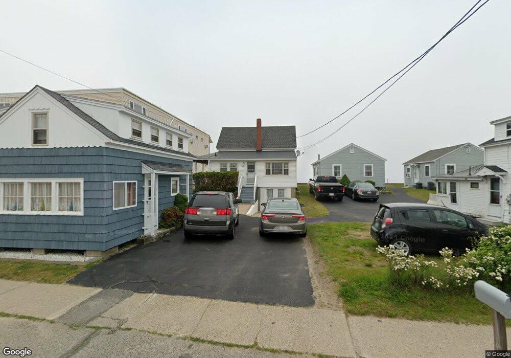
This home is located at 23 Atlantic Ave, Wells, ME 04090 and is currently estimated at $2,220,696, approximately $4,597 per square foot. 23 Atlantic Ave is a home located in York County with nearby schools including Wells Junior High School, Wells Elementary School, and Wells High School.
Ownership History
Date
Name
Owned For
Owner Type
Purchase Details
Closed on
Nov 26, 2024
Sold by
Estes Maryanne
Bought by
23 Atlantic Ave Llc
Current Estimated Value
Purchase Details
Closed on
Nov 6, 2024
Sold by
Gerald L Jean Ret and Estes
Bought by
Estes Maryanne
Purchase Details
Closed on
Feb 12, 2020
Sold by
Gerald L Jean Ret and Jean
Bought by
Gerald L Jean Ret and Jean
Create a Home Valuation Report for This Property
The Home Valuation Report is an in-depth analysis detailing your home's value as well as a comparison with similar homes in the area
Home Values in the Area
Average Home Value in this Area
Purchase History
| Date | Buyer | Sale Price | Title Company |
|---|---|---|---|
| 23 Atlantic Ave Llc | -- | None Available | |
| 23 Atlantic Ave Llc | -- | None Available | |
| Estes Maryanne | -- | None Available | |
| Estes Maryanne | -- | None Available | |
| Gerald L Jean Ret | -- | None Available | |
| Gerald L Jean Ret | -- | None Available | |
| Gerald L Jean Ret | -- | None Available |
Source: Public Records
Tax History Compared to Growth
Tax History
| Year | Tax Paid | Tax Assessment Tax Assessment Total Assessment is a certain percentage of the fair market value that is determined by local assessors to be the total taxable value of land and additions on the property. | Land | Improvement |
|---|---|---|---|---|
| 2024 | $17,431 | $2,866,970 | $2,176,890 | $690,080 |
| 2023 | $17,069 | $2,863,970 | $2,176,890 | $687,080 |
| 2022 | $17,591 | $1,681,780 | $1,322,670 | $359,110 |
| 2021 | $17,310 | $1,645,450 | $1,322,670 | $322,780 |
| 2020 | $17,239 | $1,644,980 | $1,322,670 | $322,310 |
| 2019 | $16,498 | $1,583,340 | $1,322,670 | $260,670 |
| 2018 | $15,849 | $1,535,730 | $1,322,670 | $213,060 |
| 2017 | $15,603 | $1,535,730 | $1,322,670 | $213,060 |
| 2016 | $15,449 | $1,535,730 | $1,322,670 | $213,060 |
| 2015 | $15,281 | $1,535,730 | $1,322,670 | $213,060 |
| 2013 | $14,006 | $1,535,730 | $1,322,670 | $213,060 |
Source: Public Records
Map
Nearby Homes
- 61 Atlantic Ave Unit 3
- 46 Ox Cart Ln
- 75 Ox Cart Ln Unit 2
- 42 Rachel Carson Ln
- 15 Days Ln
- 200 Webhannet Dr
- 225 Atlantic Ave
- 229 Atlantic Ave
- 233 Webhannet Dr
- 273 Webhannet Dr Unit 9
- 230 Webhannet Dr
- 2 Gold Ribbon Dr
- 26 Gold Ribbon Dr
- 9 Robert Ln
- 60 Mile Rd Unit 58
- 343 Webhannet Dr Unit 1
- 347 Webhannet Dr
- 4 Tidal Ct
- 428 Eldridge Rd
- 403 Webhannet Dr
- 30 Atlantic Ave
- 26 Atlantic Ave
- 7 Proulx Ln
- 22 Atlantic Ave
- 19 Atlantic Ave
- 9 Proulx Ln
- 38 Atlantic Ave
- 10 Studley Ln
- 10 Proulx Ln
- 8 Proulx Ln
- 7 Studley Ln
- 16 Atlantic Ave Unit C1
- 16 Atlantic Ave Unit B2
- 16 Atlantic Ave Unit B1
- 16 Atlantic Ave Unit A2
- 16 Atlantic Ave Unit A1
- 16 Atlantic Ave Unit two
- 16 Atlantic Ave Unit 1
- 16 Atlantic Ave Unit 2
- 16 Atlantic Ave Unit 1 & 2