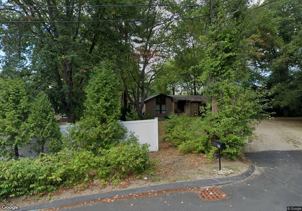
23 Benjamin Rd Lexington, MA 02421
Five Fields NeighborhoodEstimated Value: $1,219,000 - $1,924,000
3
Beds
2
Baths
1,740
Sq Ft
$847/Sq Ft
Est. Value
About This Home
This home is located at 23 Benjamin Rd, Lexington, MA 02421 and is currently estimated at $1,474,360, approximately $847 per square foot. 23 Benjamin Rd is a home located in Middlesex County with nearby schools including Maria Hastings Elementary School, Jonas Clarke Middle School, and Lexington High School.
Ownership History
Date
Name
Owned For
Owner Type
Purchase Details
Closed on
Feb 15, 1994
Sold by
First Nationwide Bk
Bought by
Mackenzie Lester T and Mackenzie Sharon
Current Estimated Value
Home Financials for this Owner
Home Financials are based on the most recent Mortgage that was taken out on this home.
Original Mortgage
$215,000
Interest Rate
7.08%
Mortgage Type
Purchase Money Mortgage
Purchase Details
Closed on
Mar 19, 1993
Sold by
Hoxeng Carl O Est
Bought by
First Nationwide Bk
Purchase Details
Closed on
Dec 22, 1987
Sold by
Castle Street Rt
Bought by
Hoxeny Carl O
Home Financials for this Owner
Home Financials are based on the most recent Mortgage that was taken out on this home.
Original Mortgage
$200,000
Interest Rate
10.78%
Mortgage Type
Purchase Money Mortgage
Create a Home Valuation Report for This Property
The Home Valuation Report is an in-depth analysis detailing your home's value as well as a comparison with similar homes in the area
Home Values in the Area
Average Home Value in this Area
Purchase History
| Date | Buyer | Sale Price | Title Company |
|---|---|---|---|
| Mackenzie Lester T | $239,620 | -- | |
| First Nationwide Bk | $190,023 | -- | |
| Hoxeny Carl O | $277,000 | -- |
Source: Public Records
Mortgage History
| Date | Status | Borrower | Loan Amount |
|---|---|---|---|
| Closed | Hoxeny Carl O | $215,000 | |
| Previous Owner | Hoxeny Carl O | $200,000 | |
| Previous Owner | Hoxeny Carl O | $198,000 |
Source: Public Records
Tax History
| Year | Tax Paid | Tax Assessment Tax Assessment Total Assessment is a certain percentage of the fair market value that is determined by local assessors to be the total taxable value of land and additions on the property. | Land | Improvement |
|---|---|---|---|---|
| 2025 | $13,159 | $1,076,000 | $648,000 | $428,000 |
| 2024 | $12,789 | $1,044,000 | $617,000 | $427,000 |
| 2023 | $12,454 | $958,000 | $561,000 | $397,000 |
| 2022 | $11,799 | $855,000 | $510,000 | $345,000 |
| 2021 | $11,670 | $811,000 | $486,000 | $325,000 |
| 2020 | $11,170 | $795,000 | $486,000 | $309,000 |
| 2019 | $10,449 | $740,000 | $462,000 | $278,000 |
| 2018 | $10,010 | $700,000 | $440,000 | $260,000 |
| 2017 | $10,882 | $751,000 | $406,000 | $345,000 |
| 2016 | $10,629 | $728,000 | $387,000 | $341,000 |
| 2015 | $9,644 | $649,000 | $352,000 | $297,000 |
| 2014 | $7,926 | $511,000 | $313,000 | $198,000 |
Source: Public Records
Map
Nearby Homes
- 14 Benjamin Rd
- 542 Concord Ave
- 7 Field Rd
- 22 Fairbanks Rd
- 353 Concord Ave
- 9 April Ln Unit 9
- 89 Hardy Pond Rd
- 72 Grassland St
- 8 Phinney Rd
- 1105 Lexington St Unit 6-4
- 34 Allen St
- 17 Prospect Hill Rd
- 44 Lakeview Terrace
- 367 Waltham St Unit 5
- 94 Middle St
- 3 Effie Place
- 2 Effie Place
- 12 Wellington Lane Ave
- 86 Indian Rd
- 21 Lakeview Ave
- 569 Concord Ave
- 21 Benjamin Rd
- 20 Benjamin Rd
- 561 Concord Ave
- 561 Concord Ave Unit 561
- 558 Concord Ave
- 558 Concord Ave Unit 1
- 19 Benjamin Rd
- 560 Concord Ave
- 18 Benjamin Rd
- 17 Benjamin Rd
- 556 Concord Ave
- 16 Benjamin Rd
- 552 Concord Ave
- 15 Benjamin Rd
- 564 Concord Ave
- 546 Concord Ave
- 562 Concord Ave
- 539 Concord Ave
- 12 Benjamin Rd
Your Personal Tour Guide
Ask me questions while you tour the home.