23 Briar Patch Rd Stonington, CT 06378
Estimated Value: $691,855 - $962,000
3
Beds
2
Baths
2,346
Sq Ft
$341/Sq Ft
Est. Value
About This Home
This home is located at 23 Briar Patch Rd, Stonington, CT 06378 and is currently estimated at $799,964, approximately $340 per square foot. 23 Briar Patch Rd is a home located in New London County with nearby schools including Stonington Middle School, Stonington High School, and Pine Point School.
Ownership History
Date
Name
Owned For
Owner Type
Purchase Details
Closed on
Nov 2, 2017
Sold by
Wells Fargo Bank Na Tr
Bought by
Trowbridge-Cottrell J
Current Estimated Value
Purchase Details
Closed on
Oct 12, 1999
Sold by
Lidstrom John August
Bought by
First Union Nb and Hubbard Peter S
Create a Home Valuation Report for This Property
The Home Valuation Report is an in-depth analysis detailing your home's value as well as a comparison with similar homes in the area
Home Values in the Area
Average Home Value in this Area
Purchase History
| Date | Buyer | Sale Price | Title Company |
|---|---|---|---|
| Trowbridge-Cottrell J | -- | -- | |
| Trowbridge-Cottrell J | -- | -- | |
| First Union Nb | $215,000 | -- | |
| First Union Nb | $215,000 | -- |
Source: Public Records
Mortgage History
| Date | Status | Borrower | Loan Amount |
|---|---|---|---|
| Previous Owner | First Union Nb | $20,000 | |
| Previous Owner | First Union Nb | $100,000 |
Source: Public Records
Tax History
| Year | Tax Paid | Tax Assessment Tax Assessment Total Assessment is a certain percentage of the fair market value that is determined by local assessors to be the total taxable value of land and additions on the property. | Land | Improvement |
|---|---|---|---|---|
| 2025 | $6,813 | $364,700 | $158,400 | $206,300 |
| 2024 | $6,555 | $364,700 | $158,400 | $206,300 |
| 2023 | $6,546 | $364,700 | $158,400 | $206,300 |
| 2022 | $6,249 | $258,100 | $129,900 | $128,200 |
| 2021 | $6,311 | $258,100 | $129,900 | $128,200 |
| 2020 | $6,197 | $258,100 | $129,900 | $128,200 |
| 2019 | $6,197 | $258,100 | $129,900 | $128,200 |
| 2018 | $6,021 | $258,100 | $129,900 | $128,200 |
| 2017 | $5,925 | $250,200 | $129,900 | $120,300 |
| 2016 | $5,757 | $250,200 | $129,900 | $120,300 |
| 2015 | $5,509 | $250,200 | $129,900 | $120,300 |
| 2014 | $5,287 | $250,200 | $129,900 | $120,300 |
Source: Public Records
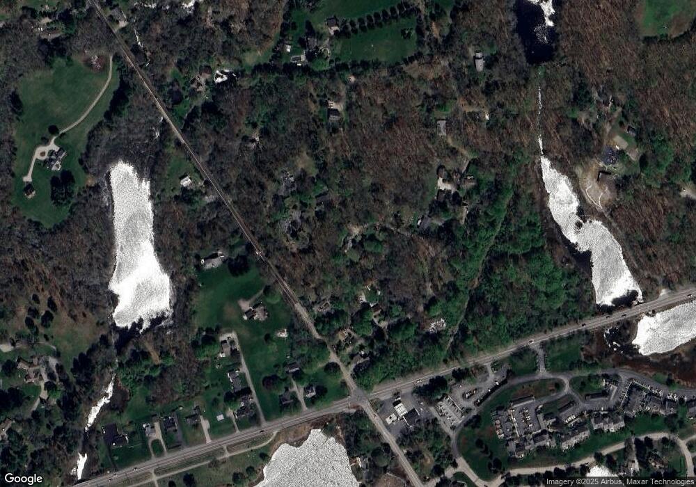
Map
Nearby Homes
- 45 Quanaduck Rd
- 66 Collins Rd
- 3 Lamberts Ln
- 33 Shawondassee Dr
- 259 N Main St
- 4 E Neck Rd
- 75 Montauk Ave
- 17 Bittersweet Way
- 59 Montauk Ave
- 301 Montauk Ave
- 174 Montauk Ave
- 103 Main St Unit 1103
- 32 Broadway Ave
- 54 Wilbur Rd
- 14 Temple St
- 4 Northwest St Unit B-12
- 117 Water St
- 95 Water St
- 92 Water St
- 88 Water St
- 14 Flanders Rd
- 9 Briar Patch Rd
- 31 Briar Patch Rd
- 3 Briar Patch Rd
- 36 Flanders Rd
- 37 Briar Patch Rd
- 2 Flanders Rd
- 57 Briar Patch Rd
- 34 Briar Patch Rd
- 49 Briar Patch Rd
- 44 Flanders Rd
- 29 Flanders Rd
- 17 Flanders Rd
- 509 Stonington Rd
- 503 Stonington Rd
- 507 Stonington Rd
- 501 Stonington Rd
- 41 Flanders Rd
- 530 Stonington Rd
- 530 Stonington Rd Unit 201
Your Personal Tour Guide
Ask me questions while you tour the home.