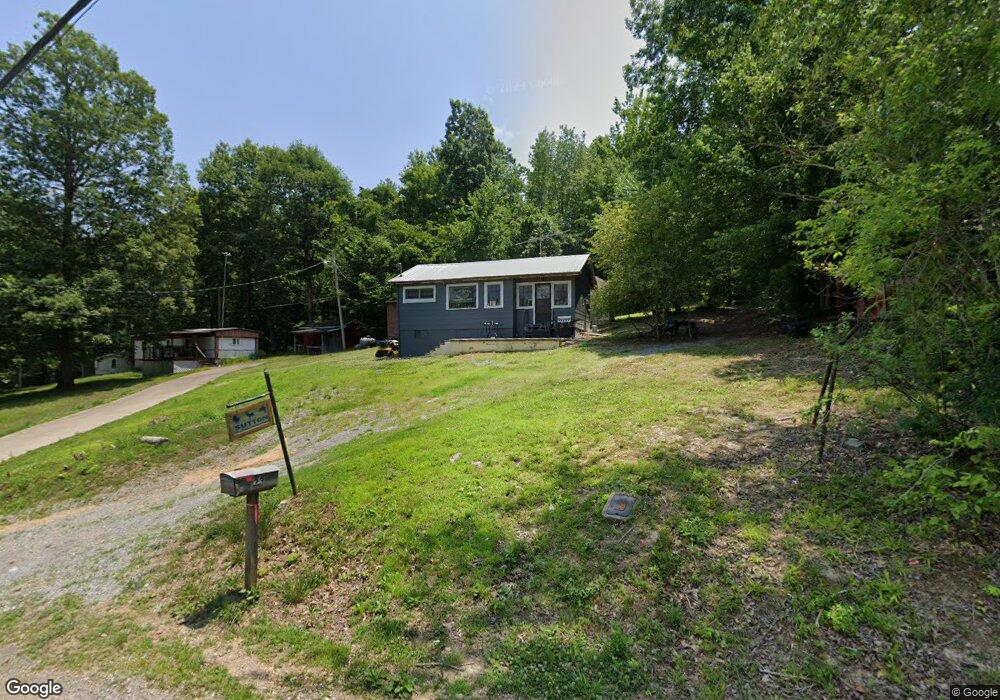
23 Cane Creek Cir Stewart, TN 37175
Estimated Value: $49,351 - $255,000
--
Bed
1
Bath
440
Sq Ft
$336/Sq Ft
Est. Value
About This Home
This home is located at 23 Cane Creek Cir, Stewart, TN 37175 and is currently estimated at $147,838, approximately $335 per square foot. 23 Cane Creek Cir is a home located in Houston County.
Ownership History
Date
Name
Owned For
Owner Type
Purchase Details
Closed on
Feb 22, 2022
Sold by
Smith Stephane
Bought by
Sutton Carl Steven
Current Estimated Value
Purchase Details
Closed on
Sep 4, 2009
Sold by
Cleveland Clifford G
Bought by
Sutton Carl Steven
Purchase Details
Closed on
Aug 4, 1998
Bought by
Cleveland Clifford Sr & Alda M
Purchase Details
Closed on
Jul 1, 1992
Bought by
Jones Michael and Lenore Jones Jeffer
Purchase Details
Closed on
Aug 4, 1952
Bought by
Creasy Dorchie F
Create a Home Valuation Report for This Property
The Home Valuation Report is an in-depth analysis detailing your home's value as well as a comparison with similar homes in the area
Home Values in the Area
Average Home Value in this Area
Purchase History
| Date | Buyer | Sale Price | Title Company |
|---|---|---|---|
| Sutton Carl Steven | -- | Markley Preston Runyon | |
| Sutton Carl Steven | $22,500 | -- | |
| Cleveland Clifford Sr & Alda M | $25,000 | -- | |
| Jones Michael | $15,000 | -- | |
| Creasy Dorchie F | -- | -- | |
| Sutton Carl Steven | $22,500 | -- |
Source: Public Records
Tax History Compared to Growth
Tax History
| Year | Tax Paid | Tax Assessment Tax Assessment Total Assessment is a certain percentage of the fair market value that is determined by local assessors to be the total taxable value of land and additions on the property. | Land | Improvement |
|---|---|---|---|---|
| 2024 | $152 | $8,550 | $1,925 | $6,625 |
| 2023 | $152 | $8,550 | $1,925 | $6,625 |
| 2022 | $141 | $5,050 | $1,325 | $3,725 |
| 2021 | $141 | $5,050 | $1,325 | $3,725 |
| 2020 | $145 | $5,050 | $1,325 | $3,725 |
| 2019 | $145 | $4,550 | $1,875 | $2,675 |
| 2018 | $145 | $4,550 | $1,875 | $2,675 |
| 2017 | $145 | $4,550 | $1,875 | $2,675 |
| 2016 | $145 | $4,550 | $1,875 | $2,675 |
| 2015 | $145 | $4,550 | $1,875 | $2,675 |
| 2014 | -- | $4,549 | $0 | $0 |
Source: Public Records
Map
Nearby Homes
- 0 Day Cemetery Ln
- 0 Overlook Trail
- 0 Vista Ridge Dr
- 78 Vista Ridge Dr
- 27 Vista Ridge Dr
- 33 Vista Ridge Dr
- 1025 Vista Ridge Dr
- 11175 Highway 147
- 0 Lake Ridge Dr Unit RTC3017496
- 67 Overlook Ln
- 71 Overlook Ln
- 79 Overlook Ln
- 372 Cheree Loop
- 10120 Highway 147
- 35 Airport Ln
- 0 Highway 232 Unit RTC2907428
- 240 Miller Ridge Ln
- 56 Ridge Top Rd
- 0 Overlook Trail Lots 68 & 69 Unit 133842
- 0 Rocky Point Rd Unit RTC2700425
- 75 Cane Creek Cir
- 40 Cane Creek Cir
- 70 Cane Creek Cir
- 80 Cane Creek Cir
- 14 Lee Campground Rd
- 1660 White Oak Rd
- 107 Cane Creek Cir
- 0 Lee Campground Rd
- 100 Cane Creek Cir
- 87 Vista Ridge
- 0 Sykes Campsite Rd Unit 1841210
- 0 Sykes Campsite Rd Unit 1761882
- 1303 White Oak Rd
- 1305 White Oak Rd
- 545 Cane Creek Boat Dock Ln
- 545 Cane Creek Boat Dock Ln
- 545 Cane Creek Boat Dock Ln
- 545 Cane Creek Boat Dock Ln
- 695 Ln
- 1095 White Oak Rd