Estimated Value: $1,290,000 - $1,362,976
2
Beds
2
Baths
5,522
Sq Ft
$240/Sq Ft
Est. Value
About This Home
This home is located at 23 Cedar Grove Ln, Noxon, MT 59853 and is currently estimated at $1,326,488, approximately $240 per square foot. 23 Cedar Grove Ln is a home located in Sanders County with nearby schools including Noxon Elementary School, Noxon Junior High School, and Noxon High School.
Ownership History
Date
Name
Owned For
Owner Type
Purchase Details
Closed on
Dec 27, 2024
Sold by
Sommer Frank H and Hansen Cydney A
Bought by
Sommer Frank H and Hansen Cydney A
Current Estimated Value
Purchase Details
Closed on
Nov 3, 2010
Sold by
Eyrich David J
Bought by
Sommer Frank H and Hansen Cydney A
Home Financials for this Owner
Home Financials are based on the most recent Mortgage that was taken out on this home.
Original Mortgage
$417,000
Interest Rate
4.33%
Mortgage Type
New Conventional
Create a Home Valuation Report for This Property
The Home Valuation Report is an in-depth analysis detailing your home's value as well as a comparison with similar homes in the area
Home Values in the Area
Average Home Value in this Area
Purchase History
| Date | Buyer | Sale Price | Title Company |
|---|---|---|---|
| Sommer Frank H | -- | None Listed On Document | |
| Sommer Frank H | -- | None Available |
Source: Public Records
Mortgage History
| Date | Status | Borrower | Loan Amount |
|---|---|---|---|
| Previous Owner | Sommer Frank H | $417,000 |
Source: Public Records
Tax History Compared to Growth
Tax History
| Year | Tax Paid | Tax Assessment Tax Assessment Total Assessment is a certain percentage of the fair market value that is determined by local assessors to be the total taxable value of land and additions on the property. | Land | Improvement |
|---|---|---|---|---|
| 2025 | $4,779 | $938,526 | $0 | $0 |
| 2024 | $5,018 | $730,421 | $0 | $0 |
| 2023 | $4,698 | $730,421 | $0 | $0 |
| 2022 | $3,712 | $532,698 | $0 | $0 |
| 2021 | $3,306 | $532,698 | $0 | $0 |
| 2020 | $3,265 | $488,600 | $0 | $0 |
| 2019 | $3,264 | $488,600 | $0 | $0 |
| 2018 | $3,099 | $466,334 | $0 | $0 |
| 2017 | $2,762 | $466,334 | $0 | $0 |
| 2016 | $3,148 | $496,533 | $0 | $0 |
| 2015 | $2,456 | $496,533 | $0 | $0 |
| 2014 | $2,133 | $233,030 | $0 | $0 |
Source: Public Records
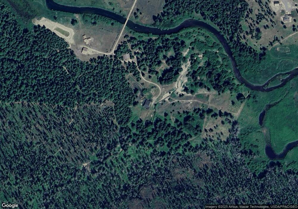
Map
Nearby Homes
- 96 E Fork Bull River Rd
- 97 National Forest Development Road 407
- 1127 Mt Highway 200
- 8 Dead Horse Ln
- Nhn Creek View Ln
- 42 Elk Creek Rd
- 98 Railroad Ave
- 230 Upper River Rd
- 189 Blue Creek Rd
- 40 Golden Pond Dr
- 103 Heron Rd
- 1234 Montana 200
- 15 Sandi Ln
- 9 Sandi Ln
- 17276 Bull Lake Rd
- LOT A-2 Elk Heights Ln
- LOT A-1 Elk Heights Ln
- lOT A-4 Elk Heights Ln
- 33 Trails End Dr
- 18328 Bull Lake Rd
- 26 Cedar Grove Ln
- 35 Cedar Grove Ln
- 239 Mt Highway 56
- 8 Cedar Grove Ln
- 963 Mt Highway 56
- 963 Montana 56
- 2 Cedar Grove Ln
- 2 Cedar Grove Ln
- 968 Bull River Rd
- 976 Mt Highway 56
- 966 Mt Highway 56
- 0 Undisclosed Unit 315309
- 923 Bull River Rd
- 923 Mt Highway 56
- 930 Mt Highway 56
- 930 Bull River Rd
- 1069 Mt Hwy 56