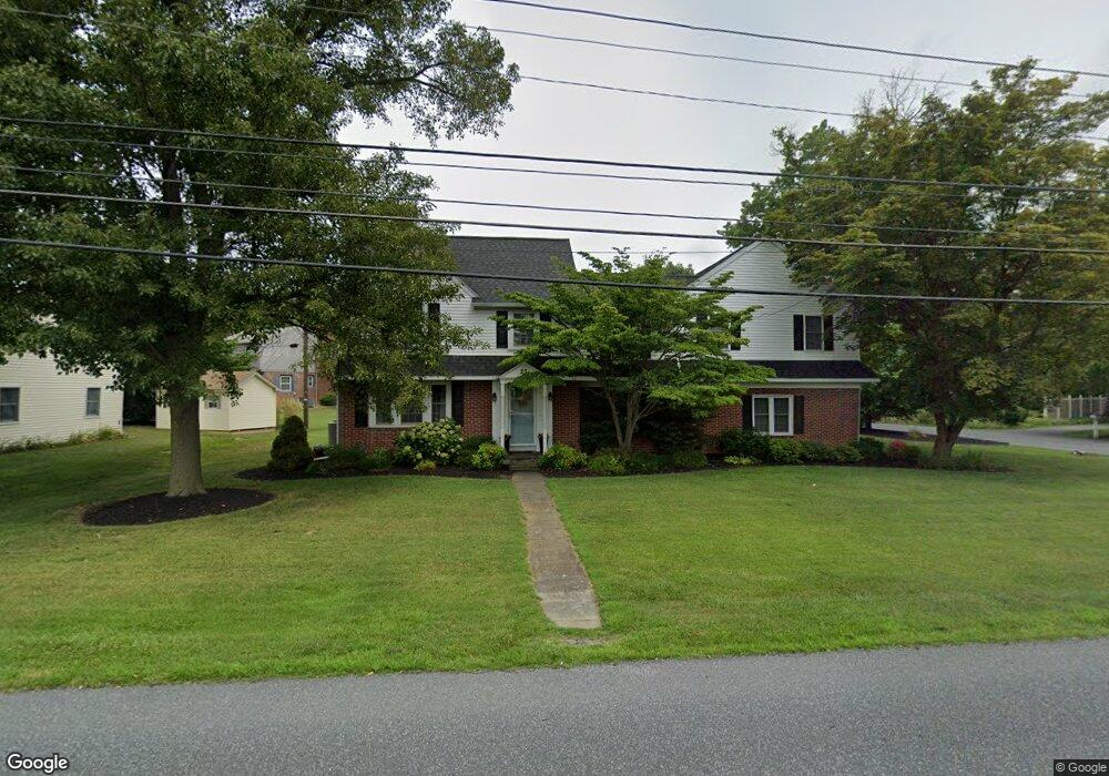
23 Delp Rd Lancaster, PA 17601
Blossom Hill NeighborhoodEstimated Value: $430,000 - $538,000
4
Beds
3
Baths
2,548
Sq Ft
$191/Sq Ft
Est. Value
About This Home
This home is located at 23 Delp Rd, Lancaster, PA 17601 and is currently estimated at $487,604, approximately $191 per square foot. 23 Delp Rd is a home located in Lancaster County with nearby schools including Neff School, Landis Run Intermediate School, and Manheim Township Middle School.
Ownership History
Date
Name
Owned For
Owner Type
Purchase Details
Closed on
Nov 15, 2002
Sold by
Fulmer Gerald J and Fulmer Barbara A
Bought by
Dehart Donald P and Dehart Melanie K
Current Estimated Value
Home Financials for this Owner
Home Financials are based on the most recent Mortgage that was taken out on this home.
Original Mortgage
$163,400
Outstanding Balance
$68,693
Interest Rate
6.07%
Estimated Equity
$418,911
Create a Home Valuation Report for This Property
The Home Valuation Report is an in-depth analysis detailing your home's value as well as a comparison with similar homes in the area
Home Values in the Area
Average Home Value in this Area
Purchase History
| Date | Buyer | Sale Price | Title Company |
|---|---|---|---|
| Dehart Donald P | $172,000 | First American Title Ins Co |
Source: Public Records
Mortgage History
| Date | Status | Borrower | Loan Amount |
|---|---|---|---|
| Open | Dehart Donald P | $163,400 |
Source: Public Records
Tax History Compared to Growth
Tax History
| Year | Tax Paid | Tax Assessment Tax Assessment Total Assessment is a certain percentage of the fair market value that is determined by local assessors to be the total taxable value of land and additions on the property. | Land | Improvement |
|---|---|---|---|---|
| 2025 | $5,098 | $235,600 | $54,800 | $180,800 |
| 2024 | $5,098 | $235,600 | $54,800 | $180,800 |
| 2023 | $4,965 | $235,600 | $54,800 | $180,800 |
| 2022 | $4,881 | $235,600 | $54,800 | $180,800 |
| 2021 | $4,772 | $235,600 | $54,800 | $180,800 |
| 2020 | $4,098 | $202,300 | $54,800 | $147,500 |
| 2019 | $4,058 | $202,300 | $54,800 | $147,500 |
| 2018 | $2,949 | $202,300 | $54,800 | $147,500 |
| 2017 | $4,252 | $167,100 | $43,400 | $123,700 |
| 2016 | $4,252 | $167,100 | $43,400 | $123,700 |
| 2015 | $1,069 | $167,100 | $43,400 | $123,700 |
| 2014 | $3,007 | $167,100 | $43,400 | $123,700 |
Source: Public Records
Map
Nearby Homes
- 94 Barre Dr
- 2419 Lititz Pike
- 1958 Geraldson Dr
- 81 Buch Ave
- 339 Cobblestone Ln Unit 339
- 1934 Geraldson Dr
- 2012 Melody Ln
- 2012 Melody Ln Unit 10
- 125 Corry Ave
- 105 Cobblestone Ln
- 238 Cobblestone Ln Unit 238
- 240 Northview Dr
- 539 Cobblestone Ln
- 1951 Sterling Place
- 406 Teddy Ave
- 602 Cobblestone Ln Unit 602
- 2648 Stagecoach Ln
- 614 Dolly Dr
- 1918 Sterling Place
- 1980 Park Plaza