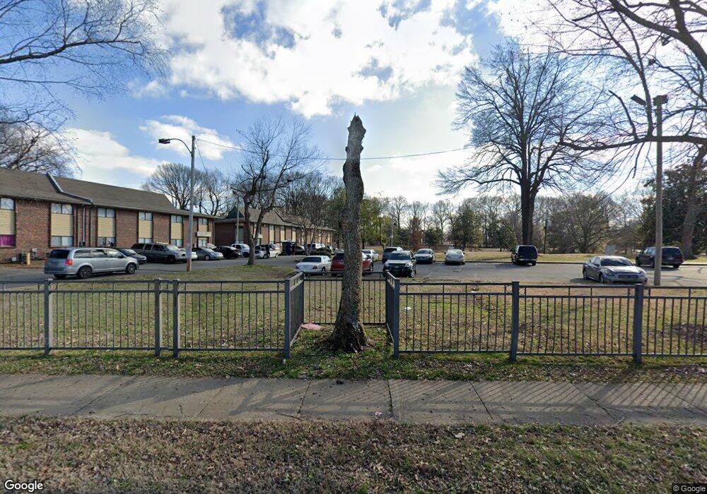
23 E Belz Blvd Memphis, TN 38109
North Memphis NeighborhoodEstimated Value: $53,398 - $272,000
2
Beds
2
Baths
1,050
Sq Ft
$116/Sq Ft
Est. Value
About This Home
This home is located at 23 E Belz Blvd, Memphis, TN 38109 and is currently estimated at $121,850, approximately $116 per square foot. 23 E Belz Blvd is a home with nearby schools including Manassas High School, Memphis Scholars Caldwell-Guthrie, and Perea Elementary School.
Ownership History
Date
Name
Owned For
Owner Type
Purchase Details
Closed on
Feb 10, 2006
Sold by
Kapos Mary
Bought by
New Bellevue Missionary Baptist Church
Current Estimated Value
Purchase Details
Closed on
Jun 6, 2003
Sold by
Miles Jessie
Bought by
Kapos Mary
Purchase Details
Closed on
Jan 1, 1996
Sold by
Kapos Bob and Kapos Mary
Bought by
Miles Jessie
Home Financials for this Owner
Home Financials are based on the most recent Mortgage that was taken out on this home.
Original Mortgage
$15,000
Interest Rate
7.65%
Mortgage Type
Seller Take Back
Create a Home Valuation Report for This Property
The Home Valuation Report is an in-depth analysis detailing your home's value as well as a comparison with similar homes in the area
Home Values in the Area
Average Home Value in this Area
Purchase History
| Date | Buyer | Sale Price | Title Company |
|---|---|---|---|
| New Bellevue Missionary Baptist Church | -- | None Available | |
| Kapos Mary | $7,000 | -- | |
| Miles Jessie | $15,000 | -- |
Source: Public Records
Mortgage History
| Date | Status | Borrower | Loan Amount |
|---|---|---|---|
| Previous Owner | Miles Jessie | $15,000 |
Source: Public Records
Tax History Compared to Growth
Tax History
| Year | Tax Paid | Tax Assessment Tax Assessment Total Assessment is a certain percentage of the fair market value that is determined by local assessors to be the total taxable value of land and additions on the property. | Land | Improvement |
|---|---|---|---|---|
| 2025 | $97 | $4,925 | $975 | $3,950 |
| 2024 | $97 | $2,875 | $325 | $2,550 |
| 2023 | $175 | $2,875 | $325 | $2,550 |
| 2022 | $175 | $2,875 | $325 | $2,550 |
| 2021 | $177 | $2,875 | $325 | $2,550 |
| 2020 | $163 | $2,250 | $325 | $1,925 |
| 2019 | $163 | $2,250 | $325 | $1,925 |
| 2018 | $163 | $2,250 | $325 | $1,925 |
| 2017 | $92 | $2,250 | $325 | $1,925 |
| 2016 | $241 | $5,525 | $0 | $0 |
| 2014 | $241 | $5,525 | $0 | $0 |
Source: Public Records
Map
Nearby Homes
- 1391 Nicholas St
- 1414 Nicholas St
- 0 Nicholas St
- 1396 Nicholas St
- 1384 Nicholas St
- 1382 Nicholas St
- 1239 Thomas St
- 1281 Lion St
- 1327 Nicholas St
- 1345 Nicholas St
- 598 Arrington Ave
- 590 Arrington Ave
- 933 Tully St
- 1099 N 7th St
- 707 Wortham Ave
- 1091 Leath St
- 157 Cedar Ave
- 140 Cedar Ave
- 249 Caldwell Ave
- 951 N 7th St
- 650 Firestone Ave Unit 21
- 2 E Belz Blvd
- 921 Thomas St
- 1215 Tully St
- 1271 Thomas St
- 1223 Thomas St
- 1227 Thomas St
- 612 Life Ave
- 682 Lyman Ave
- 1262 Nicholas St
- 1252 Nicholas St
- 688 Lyman Ave
- 1266 Nicholas St
- 1194 Thomas St
- 1274 Nicholas St
- 598 Weakley Ave
- 1278 Nicholas St
- 687 Lyman Ave
- 711 Firestone Ave
- 689 Lyman Ave
