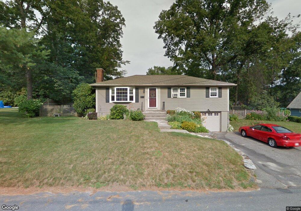
23 Elm St West Boylston, MA 01583
Estimated Value: $433,657 - $511,000
3
Beds
1
Bath
1,056
Sq Ft
$445/Sq Ft
Est. Value
About This Home
This home is located at 23 Elm St, West Boylston, MA 01583 and is currently estimated at $470,164, approximately $445 per square foot. 23 Elm St is a home located in Worcester County with nearby schools including Major Edwards Elementary School and West Boylston Junior/Senior High School.
Ownership History
Date
Name
Owned For
Owner Type
Purchase Details
Closed on
Dec 2, 2020
Sold by
Healy Thomas P and Healy Michelle N
Bought by
Tata Debra L
Current Estimated Value
Home Financials for this Owner
Home Financials are based on the most recent Mortgage that was taken out on this home.
Original Mortgage
$240,000
Outstanding Balance
$214,053
Interest Rate
2.8%
Mortgage Type
New Conventional
Estimated Equity
$256,111
Purchase Details
Closed on
Oct 30, 1997
Sold by
King Timothy P
Bought by
Healey Thomas P and Healey Michelle N
Purchase Details
Closed on
Mar 15, 1991
Sold by
Parker Dale S and Parker Jodie L
Bought by
Scola Lisa A and King Timothy P
Create a Home Valuation Report for This Property
The Home Valuation Report is an in-depth analysis detailing your home's value as well as a comparison with similar homes in the area
Home Values in the Area
Average Home Value in this Area
Purchase History
| Date | Buyer | Sale Price | Title Company |
|---|---|---|---|
| Tata Debra L | $300,000 | None Available | |
| Healey Thomas P | $129,000 | -- | |
| Scola Lisa A | $120,000 | -- |
Source: Public Records
Mortgage History
| Date | Status | Borrower | Loan Amount |
|---|---|---|---|
| Open | Tata Debra L | $240,000 | |
| Previous Owner | Scola Lisa A | $164,800 | |
| Previous Owner | Scola Lisa A | $23,500 | |
| Previous Owner | Scola Lisa A | $188,000 |
Source: Public Records
Tax History Compared to Growth
Tax History
| Year | Tax Paid | Tax Assessment Tax Assessment Total Assessment is a certain percentage of the fair market value that is determined by local assessors to be the total taxable value of land and additions on the property. | Land | Improvement |
|---|---|---|---|---|
| 2025 | $53 | $382,900 | $89,400 | $293,500 |
| 2024 | $5,213 | $352,700 | $89,400 | $263,300 |
| 2023 | $5,155 | $330,900 | $88,800 | $242,100 |
| 2022 | $4,860 | $274,900 | $88,800 | $186,100 |
| 2021 | $4,704 | $254,800 | $84,400 | $170,400 |
| 2020 | $4,613 | $248,300 | $84,400 | $163,900 |
| 2019 | $3,497 | $229,600 | $84,400 | $145,200 |
| 2018 | $4,133 | $220,800 | $84,400 | $136,400 |
| 2017 | $3,677 | $195,600 | $84,400 | $111,200 |
| 2016 | $3,596 | $194,900 | $78,500 | $116,400 |
| 2015 | $3,444 | $187,800 | $77,700 | $110,100 |
Source: Public Records
Map
Nearby Homes
- 23 Western Ave
- 136 Sterling St Unit A3
- 20 Winthrop St
- 16 N Main St
- 127 N Main St
- 18 Laurel Ave
- 15 Myrtle Ave
- 2 Lakeview Ave
- 0 Boutelle Rd
- 61 Boutelle Rd
- 223 Worcester Rd
- 287 Laurel St
- 43 Chace Hill Rd
- 54 Maple St
- 15 N Cove Rd
- 4 Jewett Rd Unit B
- 4 Jewett Rd Unit A
- 0 North St
- 39 Davidson Rd
- 1 Harmony Ln Unit 4