Estimated Value: $739,000 - $1,310,676
3
Beds
2
Baths
2,632
Sq Ft
$384/Sq Ft
Est. Value
About This Home
This home is located at 23 Emerald Cove Dr, Casco, ME 04015 and is currently estimated at $1,011,892, approximately $384 per square foot. 23 Emerald Cove Dr is a home located in Cumberland County with nearby schools including Lake Region High School.
Ownership History
Date
Name
Owned For
Owner Type
Purchase Details
Closed on
Jan 12, 2024
Sold by
Susan J Gajewski Ret and Gajewski
Bought by
Pettingill Mark A and Pettingill Erika J
Current Estimated Value
Home Financials for this Owner
Home Financials are based on the most recent Mortgage that was taken out on this home.
Original Mortgage
$880,000
Outstanding Balance
$864,745
Interest Rate
7%
Mortgage Type
Purchase Money Mortgage
Estimated Equity
$147,147
Purchase Details
Closed on
Jul 23, 2015
Sold by
Gajewski Charles H and Gajewski Susan J
Bought by
Susan J Gajewski Ret and Gajewski
Purchase Details
Closed on
Jun 5, 2009
Sold by
Wessling John J and Wessling Deborah A
Bought by
Hebold Walter C and Hebold Diane D
Create a Home Valuation Report for This Property
The Home Valuation Report is an in-depth analysis detailing your home's value as well as a comparison with similar homes in the area
Home Values in the Area
Average Home Value in this Area
Purchase History
| Date | Buyer | Sale Price | Title Company |
|---|---|---|---|
| Pettingill Mark A | $1,100,000 | None Available | |
| Susan J Gajewski Ret | -- | -- | |
| Hebold Walter C | -- | -- |
Source: Public Records
Mortgage History
| Date | Status | Borrower | Loan Amount |
|---|---|---|---|
| Open | Pettingill Mark A | $880,000 | |
| Previous Owner | Hebold Walter C | $310,700 |
Source: Public Records
Tax History Compared to Growth
Tax History
| Year | Tax Paid | Tax Assessment Tax Assessment Total Assessment is a certain percentage of the fair market value that is determined by local assessors to be the total taxable value of land and additions on the property. | Land | Improvement |
|---|---|---|---|---|
| 2024 | $9,171 | $938,700 | $501,800 | $436,900 |
| 2023 | $7,780 | $487,800 | $284,800 | $203,000 |
| 2022 | $7,639 | $487,800 | $284,800 | $203,000 |
| 2021 | $7,639 | $487,800 | $284,800 | $203,000 |
| 2020 | $7,610 | $487,800 | $284,800 | $203,000 |
| 2019 | $7,512 | $487,800 | $284,800 | $203,000 |
| 2018 | $7,512 | $487,800 | $284,800 | $203,000 |
| 2017 | $6,790 | $449,700 | $284,800 | $164,900 |
| 2016 | $5,897 | $395,800 | $284,800 | $111,000 |
| 2015 | $5,897 | $395,800 | $284,800 | $111,000 |
| 2013 | -- | $395,800 | $284,800 | $111,000 |
Source: Public Records
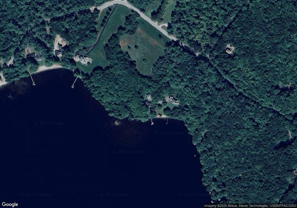
Map
Nearby Homes
- 192 Mountain Rd
- 23 Baxter Rd Unit A
- 0 Colonial Dr
- 80 Spiller Hill Rd
- 13 & 16 Joyal Hill Ln
- 37 Cobb Rd
- 0 Lucys Dr
- 255 Raymond Hill Rd
- 107 Haskell Ave
- 0 Gladstone Dr Unit 1621421
- 0 Plummer Dr
- 43 Haskell Ave
- 148 Spiller Hill Rd
- 26 E East Beach Rd Unit 26
- 13-9B(A1) Bakerstown Rd
- 174 Raymond Hill Rd
- 52 Waterview Dr
- 325 N Raymond Rd
- 146 Lord Rd
- 452 N Raymond Rd
- 23 Emerald Cove Ln
- 12 Emerald Cove Dr
- 12 Emerald Cove
- 11 Mawaga Dr
- 145 Edwards Rd
- 0 Edwards Mountain Rd
- 15 Mawaga Dr
- 161 Edwards Rd
- 19 Mawaga Dr
- 170 Edwards Rd
- 129 Edwards Rd
- 21 Mawaga Dr
- 222 Mountain Rd
- 0 Davis Brook Unit 972511
- 0 Davis Brook Dr Unit 1060883
- 23 Mawaga Dr
- 52-10 Davis Brook Rd
- 10 Davis Brook Rd
- 121 Edwards Rd
- 25 Mawaga Dr