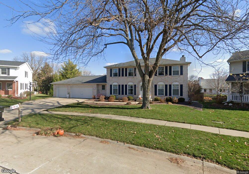
23 Harbor Pointe Cir Bloomington, IL 61704
North Pointe NeighborhoodEstimated Value: $341,000 - $389,000
4
Beds
4
Baths
4,086
Sq Ft
$89/Sq Ft
Est. Value
About This Home
This home is located at 23 Harbor Pointe Cir, Bloomington, IL 61704 and is currently estimated at $364,145, approximately $89 per square foot. 23 Harbor Pointe Cir is a home located in McLean County with nearby schools including Northpoint Elementary School, Kingsley Junior High School, and Normal Community High School.
Ownership History
Date
Name
Owned For
Owner Type
Purchase Details
Closed on
May 13, 2011
Sold by
Ponser Lawrence L and Ponser Mary F
Bought by
Percell Jay C and Percell Renee M Alwan
Current Estimated Value
Home Financials for this Owner
Home Financials are based on the most recent Mortgage that was taken out on this home.
Original Mortgage
$207,562
Outstanding Balance
$144,445
Interest Rate
4.91%
Estimated Equity
$219,700
Create a Home Valuation Report for This Property
The Home Valuation Report is an in-depth analysis detailing your home's value as well as a comparison with similar homes in the area
Home Values in the Area
Average Home Value in this Area
Purchase History
| Date | Buyer | Sale Price | Title Company |
|---|---|---|---|
| Percell Jay C | $235,000 | None Available |
Source: Public Records
Mortgage History
| Date | Status | Borrower | Loan Amount |
|---|---|---|---|
| Open | Percell Jay C | $207,562 |
Source: Public Records
Tax History Compared to Growth
Tax History
| Year | Tax Paid | Tax Assessment Tax Assessment Total Assessment is a certain percentage of the fair market value that is determined by local assessors to be the total taxable value of land and additions on the property. | Land | Improvement |
|---|---|---|---|---|
| 2024 | $7,109 | $112,646 | $24,287 | $88,359 |
| 2022 | $7,109 | $86,449 | $18,639 | $67,810 |
| 2021 | $6,539 | $79,139 | $17,063 | $62,076 |
| 2020 | $6,382 | $77,284 | $16,663 | $60,621 |
| 2019 | $6,061 | $75,970 | $16,380 | $59,590 |
| 2018 | $6,055 | $75,970 | $16,380 | $59,590 |
| 2017 | $5,809 | $75,970 | $16,380 | $59,590 |
| 2016 | $5,941 | $77,759 | $16,766 | $60,993 |
| 2015 | $5,960 | $77,977 | $16,813 | $61,164 |
| 2014 | $5,760 | $76,346 | $16,813 | $59,533 |
| 2013 | -- | $74,849 | $16,483 | $58,366 |
Source: Public Records
Map
Nearby Homes
- 404 Lake Shore Cir
- 2215 Woodfield Rd
- 2805 Stevenson Dr
- 2611 Kolby Ct
- 2007 Withers Ln
- Lot D Fort Jesse Rd
- Lot F Fort Jesse Rd
- Lot E Fort Jesse Rd
- 26 Brunton Ct
- 8 Burgundy Ct
- 3679 Madras Dr
- 440 Larkspur Ln
- 422 Larkspur Ln
- Lot 21 Susan Dr
- 2822 Chesapeake Ln
- 4 Monarch Dr
- Lot 8 Jehova
- 3613 Cabernet Ct
- 3617 Cabernet Ct
- 1703 Truman Dr
- 25 Harbor Pointe Cir
- 21 Harbor Pointe Cir
- 2 Ravenwood Cir
- 2510 Park Ridge Rd
- 4 Ravenwood Cir
- 24 Harbor Pointe Cir
- 27 Harbor Pointe Cir
- 19 Harbor Pointe Cir
- 2508 Park Ridge Rd
- 6 Ravenwood Cir
- 26 Harbor Pointe Cir
- 29 Harbor Pointe Cir
- 14 Harbor Pointe Cir
- 17 Harbor Pointe Cir
- 2506 Park Ridge Rd
- 8 Ravenwood Cir
- 28 Harbor Pointe Cir
- 12 Harbor Pointe #12
- 12 Harbor Pointe Cir
- 2602 Park Ridge Rd