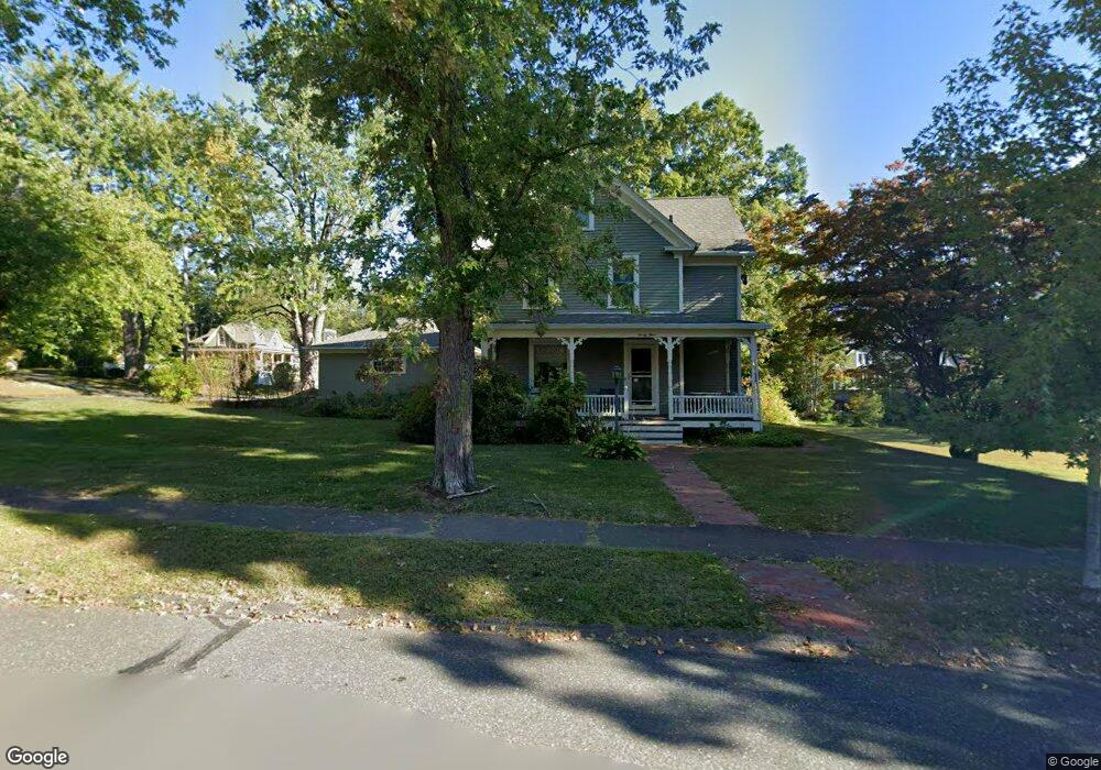
23 High St Florence, MA 01062
Florence NeighborhoodEstimated Value: $343,041 - $445,000
3
Beds
2
Baths
1,684
Sq Ft
$236/Sq Ft
Est. Value
About This Home
This home is located at 23 High St, Florence, MA 01062 and is currently estimated at $398,010, approximately $236 per square foot. 23 High St is a home located in Hampshire County with nearby schools including Northampton High School, The Montessori School of Northampton, and Lander Grinspoon Academy.
Ownership History
Date
Name
Owned For
Owner Type
Purchase Details
Closed on
May 17, 2018
Sold by
Heiman Richard A
Bought by
Blaustein Gabrielle
Current Estimated Value
Purchase Details
Closed on
Jul 20, 1988
Sold by
Kirkpatrick James E
Bought by
Travers David J
Home Financials for this Owner
Home Financials are based on the most recent Mortgage that was taken out on this home.
Original Mortgage
$135,300
Interest Rate
10.49%
Mortgage Type
Purchase Money Mortgage
Create a Home Valuation Report for This Property
The Home Valuation Report is an in-depth analysis detailing your home's value as well as a comparison with similar homes in the area
Home Values in the Area
Average Home Value in this Area
Purchase History
| Date | Buyer | Sale Price | Title Company |
|---|---|---|---|
| Blaustein Gabrielle | -- | -- | |
| Blaustein Gabrielle | -- | -- | |
| Travers David J | $142,500 | -- |
Source: Public Records
Mortgage History
| Date | Status | Borrower | Loan Amount |
|---|---|---|---|
| Previous Owner | Travers David J | $135,300 |
Source: Public Records
Tax History
| Year | Tax Paid | Tax Assessment Tax Assessment Total Assessment is a certain percentage of the fair market value that is determined by local assessors to be the total taxable value of land and additions on the property. | Land | Improvement |
|---|---|---|---|---|
| 2025 | $5,008 | $264,000 | $97,200 | $166,800 |
| 2024 | $4,684 | $258,800 | $97,200 | $161,600 |
| 2023 | $4,971 | $253,100 | $97,200 | $155,900 |
| 2022 | $4,971 | $255,700 | $94,700 | $161,000 |
| 2021 | $5,016 | $239,200 | $94,700 | $144,500 |
| 2019 | $4,752 | $240,000 | $94,700 | $145,300 |
| 2018 | $4,843 | $240,000 | $94,700 | $145,300 |
| 2017 | $4,603 | $240,000 | $94,700 | $145,300 |
| 2016 | $4,500 | $240,000 | $94,700 | $145,300 |
| 2015 | $4,409 | $245,100 | $99,800 | $145,300 |
| 2014 | $4,257 | $245,100 | $99,800 | $145,300 |
Source: Public Records
Map
Nearby Homes
- 32 Stilson Ave
- 575 Bridge Rd Unit 11-8
- 575 Bridge Rd Unit 8-5
- 575 Bridge Rd Unit 12-7
- 575 Bridge Rd Unit 10-5
- 44 Sheffield Ln
- 76 Maple St
- 14 Meadow St
- 67 Park St Unit A
- 31 Lilly St
- 22 Lilly St
- 33 Landy Ave
- 37 Landy Ave
- 41 Landy Ave
- 0 Terrace Ln
- 70 Hatfield St Unit 70B
- 492 Elm St
- 63 Riverside Dr
- 61 Woodlawn Ave
- 42 Clark St
Your Personal Tour Guide
Ask me questions while you tour the home.