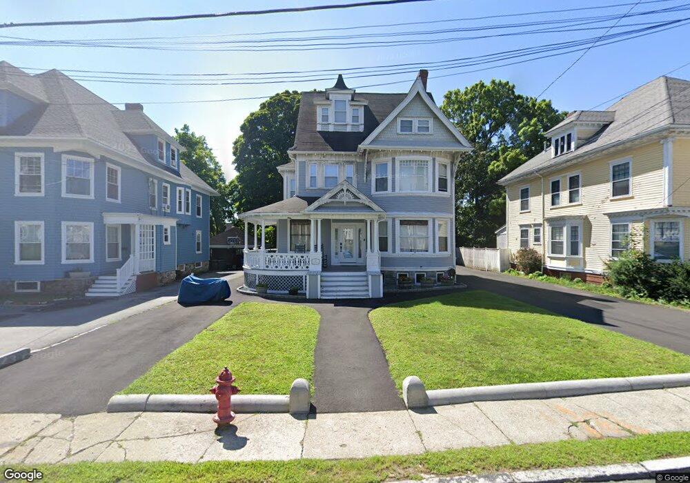
23 High St Methuen, MA 01844
Downtown Methuen NeighborhoodEstimated Value: $801,502 - $918,000
6
Beds
3
Baths
3,396
Sq Ft
$257/Sq Ft
Est. Value
About This Home
This home is located at 23 High St, Methuen, MA 01844 and is currently estimated at $872,126, approximately $256 per square foot. 23 High St is a home located in Essex County with nearby schools including Tenney Grammar School, Methuen High School, and Saint Monica School.
Ownership History
Date
Name
Owned For
Owner Type
Purchase Details
Closed on
Jun 26, 2009
Sold by
Coelho Rt and Coelho
Bought by
Vasquez David and Vasquez Griselda
Current Estimated Value
Home Financials for this Owner
Home Financials are based on the most recent Mortgage that was taken out on this home.
Original Mortgage
$247,000
Interest Rate
4.92%
Mortgage Type
Purchase Money Mortgage
Purchase Details
Closed on
Jul 3, 2008
Sold by
Coelho Donald J and Coelho Clare P
Bought by
Coelho Rt and Coelho
Create a Home Valuation Report for This Property
The Home Valuation Report is an in-depth analysis detailing your home's value as well as a comparison with similar homes in the area
Home Values in the Area
Average Home Value in this Area
Purchase History
| Date | Buyer | Sale Price | Title Company |
|---|---|---|---|
| Vasquez David | $347,000 | -- | |
| Vasquez David | $347,000 | -- | |
| Coelho Rt | -- | -- | |
| Coelho Rt | -- | -- |
Source: Public Records
Mortgage History
| Date | Status | Borrower | Loan Amount |
|---|---|---|---|
| Open | Coelho Rt | $240,000 | |
| Closed | Vasquez David | $247,000 |
Source: Public Records
Tax History
| Year | Tax Paid | Tax Assessment Tax Assessment Total Assessment is a certain percentage of the fair market value that is determined by local assessors to be the total taxable value of land and additions on the property. | Land | Improvement |
|---|---|---|---|---|
| 2025 | $8,735 | $825,600 | $201,300 | $624,300 |
| 2024 | $8,664 | $797,800 | $183,600 | $614,200 |
| 2023 | $8,294 | $708,900 | $163,200 | $545,700 |
| 2022 | $7,358 | $563,800 | $129,200 | $434,600 |
| 2021 | $7,214 | $546,900 | $122,400 | $424,500 |
| 2020 | $7,215 | $536,800 | $122,400 | $414,400 |
| 2019 | $6,780 | $477,800 | $115,600 | $362,200 |
| 2018 | $6,259 | $438,600 | $108,800 | $329,800 |
| 2017 | $5,955 | $406,500 | $108,800 | $297,700 |
| 2016 | $5,503 | $371,600 | $95,200 | $276,400 |
| 2015 | $4,843 | $331,700 | $95,200 | $236,500 |
Source: Public Records
Map
Nearby Homes
- 2 Grove St
- 7-9 Carleton Ct
- 23 Bentley Cir
- 24 Railroad St
- 9-11 Horne St
- 20-22 Ashland Ave
- 7 Field Ave
- 20 Ruskin Ave
- 23 Chase St
- 29 Center St
- 82 Oakside Ave
- 97 Kenwood Rd
- 37 Maplewood Ave
- 25 Carol Ave
- 21 Hampshire Rd Unit 111
- 19 Hampshire Rd Unit 304
- 7 Brentwood Ave
- 0 Hampshire Rd
- 434-438 Hampshire St
- 14 Buttonwood Dr
Your Personal Tour Guide
Ask me questions while you tour the home.