23 Holts Point Rd Hampstead, NH 03841
Estimated Value: $1,114,000 - $1,480,190
3
Beds
3
Baths
2,726
Sq Ft
$488/Sq Ft
Est. Value
About This Home
This home is located at 23 Holts Point Rd, Hampstead, NH 03841 and is currently estimated at $1,331,063, approximately $488 per square foot. 23 Holts Point Rd is a home located in Rockingham County with nearby schools including Hampstead Central School, Hampstead Middle School, and Pinkerton Academy.
Ownership History
Date
Name
Owned For
Owner Type
Purchase Details
Closed on
Dec 31, 2014
Sold by
Towne Richard N
Bought by
Meghan T
Current Estimated Value
Purchase Details
Closed on
Jan 17, 2014
Sold by
Towne Richard N
Bought by
Richard Towne Ft
Purchase Details
Closed on
Mar 21, 2003
Sold by
Wentworth Stephen M
Bought by
Towne Richard N and Towne Philip J
Create a Home Valuation Report for This Property
The Home Valuation Report is an in-depth analysis detailing your home's value as well as a comparison with similar homes in the area
Home Values in the Area
Average Home Value in this Area
Purchase History
| Date | Buyer | Sale Price | Title Company |
|---|---|---|---|
| Meghan T | -- | -- | |
| Richard Towne Ft | -- | -- | |
| Towne Richard N | $100,000 | -- |
Source: Public Records
Mortgage History
| Date | Status | Borrower | Loan Amount |
|---|---|---|---|
| Previous Owner | Towne Richard N | $190,500 | |
| Previous Owner | Towne Richard N | $200,000 | |
| Previous Owner | Towne Richard N | $194,000 |
Source: Public Records
Tax History Compared to Growth
Tax History
| Year | Tax Paid | Tax Assessment Tax Assessment Total Assessment is a certain percentage of the fair market value that is determined by local assessors to be the total taxable value of land and additions on the property. | Land | Improvement |
|---|---|---|---|---|
| 2024 | $21,469 | $1,158,000 | $663,300 | $494,700 |
| 2023 | $19,902 | $782,300 | $474,600 | $307,700 |
| 2022 | $18,525 | $782,300 | $474,600 | $307,700 |
| 2021 | $17,797 | $782,300 | $474,600 | $307,700 |
| 2020 | $16,859 | $782,300 | $474,600 | $307,700 |
| 2016 | $15,638 | $646,200 | $364,400 | $281,800 |
| 2015 | $14,494 | $646,200 | $364,400 | $281,800 |
| 2014 | $14,494 | $646,200 | $364,400 | $281,800 |
| 2006 | $12,061 | $665,600 | $331,300 | $334,300 |
Source: Public Records
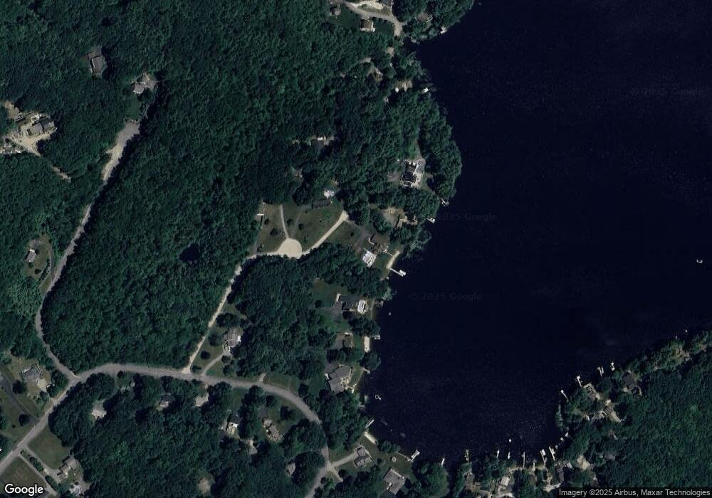
Map
Nearby Homes
- 13 Autumn Ln
- 185 Buttrick Rd
- 5 Grandview Terrace
- 39 Kibrel Ct
- 33 Pillsbury Rd
- 9 Trues Pkwy
- 7 Trues Pkwy
- 26 Main St
- 8 Ians Path
- 4 Hastings Dr
- 14 Meredith Dr
- 55 Judith St
- 16 Edmund Meadow Ln
- 6 Johnson Meadow Rd Unit A & B
- 5 Johnson Meadow Rd Unit A & B
- 20 Johnson Meadow Rd Unit A & B
- 3 Cameron Ct Unit 3
- 32 Ells Rd
- 19 Johnson Meadow Rd Unit A & B
- 30 Johnson Meadow Rd Unit A & B
- 27 Holts Point Rd
- 76 Holts Point Rd
- 26 Holts Point Rd
- 105 Buttrick Rd
- 101 Buttrick Rd
- 30 Holts Point Rd
- 20 Holts Point Rd
- 73 Holts Point Rd
- 95 Buttrick Rd
- 67 Holts Point Rd
- 96 Buttrick Rd
- 89 Buttrick Rd
- 63 Holts Point Rd
- 112 Buttrick Rd
- 59 Holts Point Rd
- 106 Buttrick Rd
- 80 Buttrick Rd
- 64 Holts Point Rd
- 85 Croy Path
- 45 Stony Ridge Rd