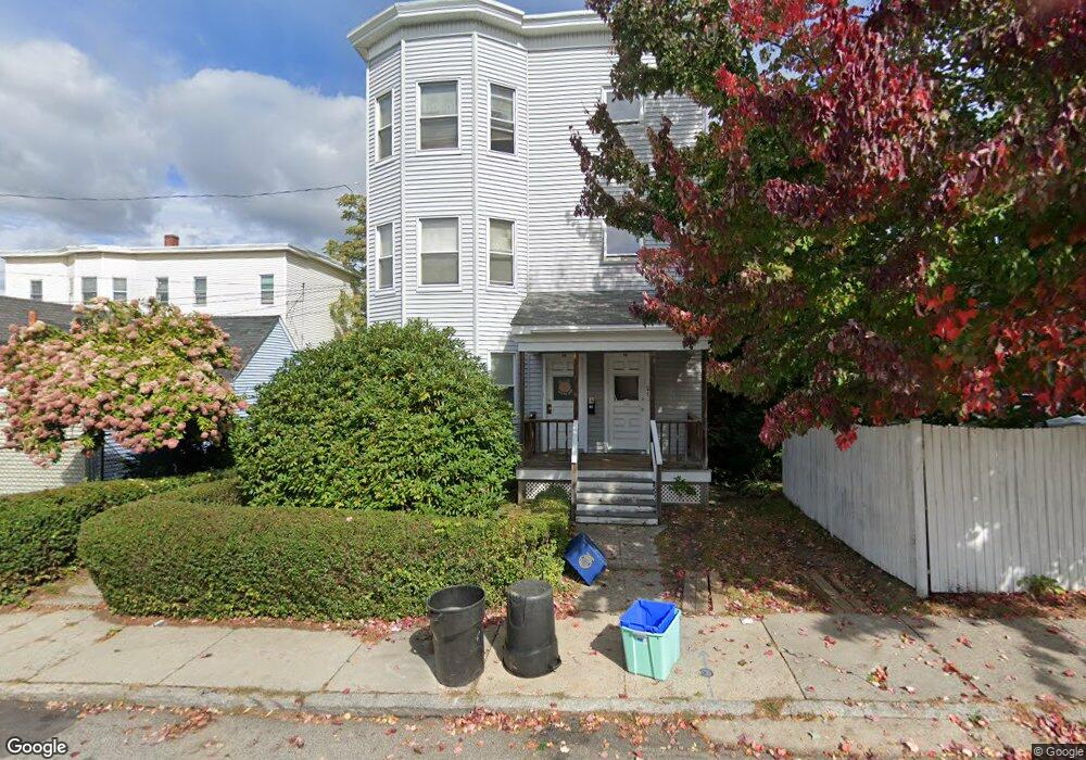
23 King St Unit 25 Methuen, MA 01844
The East End NeighborhoodEstimated Value: $706,844 - $801,000
9
Beds
3
Baths
4,164
Sq Ft
$184/Sq Ft
Est. Value
About This Home
This home is located at 23 King St Unit 25, Methuen, MA 01844 and is currently estimated at $768,211, approximately $184 per square foot. 23 King St Unit 25 is a home located in Essex County with nearby schools including Timony Grammar School, Methuen High School, and Community Day Charter Public School - Gateway.
Ownership History
Date
Name
Owned For
Owner Type
Purchase Details
Closed on
Oct 31, 2024
Sold by
Bajor Mark T and Bajor Stephen
Bought by
Alvarado-Pena Dennys R and Bello Arelis D
Current Estimated Value
Home Financials for this Owner
Home Financials are based on the most recent Mortgage that was taken out on this home.
Original Mortgage
$517,500
Outstanding Balance
$511,251
Interest Rate
6.09%
Mortgage Type
Purchase Money Mortgage
Estimated Equity
$256,960
Create a Home Valuation Report for This Property
The Home Valuation Report is an in-depth analysis detailing your home's value as well as a comparison with similar homes in the area
Home Values in the Area
Average Home Value in this Area
Purchase History
| Date | Buyer | Sale Price | Title Company |
|---|---|---|---|
| Alvarado-Pena Dennys R | $690,000 | None Available |
Source: Public Records
Mortgage History
| Date | Status | Borrower | Loan Amount |
|---|---|---|---|
| Open | Alvarado-Pena Dennys R | $517,500 |
Source: Public Records
Tax History
| Year | Tax Paid | Tax Assessment Tax Assessment Total Assessment is a certain percentage of the fair market value that is determined by local assessors to be the total taxable value of land and additions on the property. | Land | Improvement |
|---|---|---|---|---|
| 2025 | $7,172 | $677,900 | $188,500 | $489,400 |
| 2024 | $7,474 | $688,200 | $172,000 | $516,200 |
| 2023 | $7,157 | $611,700 | $152,900 | $458,800 |
| 2022 | $6,295 | $482,400 | $121,000 | $361,400 |
| 2021 | $6,161 | $467,100 | $114,600 | $352,500 |
| 2020 | $6,160 | $458,300 | $114,600 | $343,700 |
| 2019 | $5,639 | $397,400 | $94,100 | $303,300 |
| 2018 | $5,189 | $363,600 | $88,600 | $275,000 |
| 2017 | $4,911 | $335,200 | $88,600 | $246,600 |
| 2016 | $4,519 | $305,100 | $77,500 | $227,600 |
| 2015 | $4,040 | $276,700 | $77,500 | $199,200 |
Source: Public Records
Map
Nearby Homes
- 14 Court St
- 25-27 Bicknell Ave
- 39 Swan Ave
- 12 Annette St
- 5 Kendrick St
- 18 Erhardt Terrace
- 7 Erhardt Terrace
- 129-131 Lexington St
- 106 Leroy Ave
- 192 Union St
- 37 Albion St
- 264 E Haverhill St Unit 2
- 32 Josephine Ave
- 2 Leslie St
- 68 Ashford St
- 131A Lawrence St Unit 40
- 97 Kenwood Rd
- 14 Buttonwood Dr
- 89 Newbury St Unit 89B
- 7-9 Bennington St
- 447 Prospect St
- 17 King St
- 449 Prospect St Unit 451
- 449-451 Prospect St
- 100 Boston St Unit 2
- 100 Boston St
- 98 Boston St
- 443 Prospect St Unit 445
- 453 Prospect St
- 453 Prospect St Unit Garage
- 96 Boston St
- 18 King St
- 15 King St
- 94 Boston St
- 455 Prospect St
- 437 Prospect St
- 448 Prospect St Unit 450
- 448 Prospect St Unit 1
- 92 Boston St
- 452 Prospect St Unit 454
Your Personal Tour Guide
Ask me questions while you tour the home.