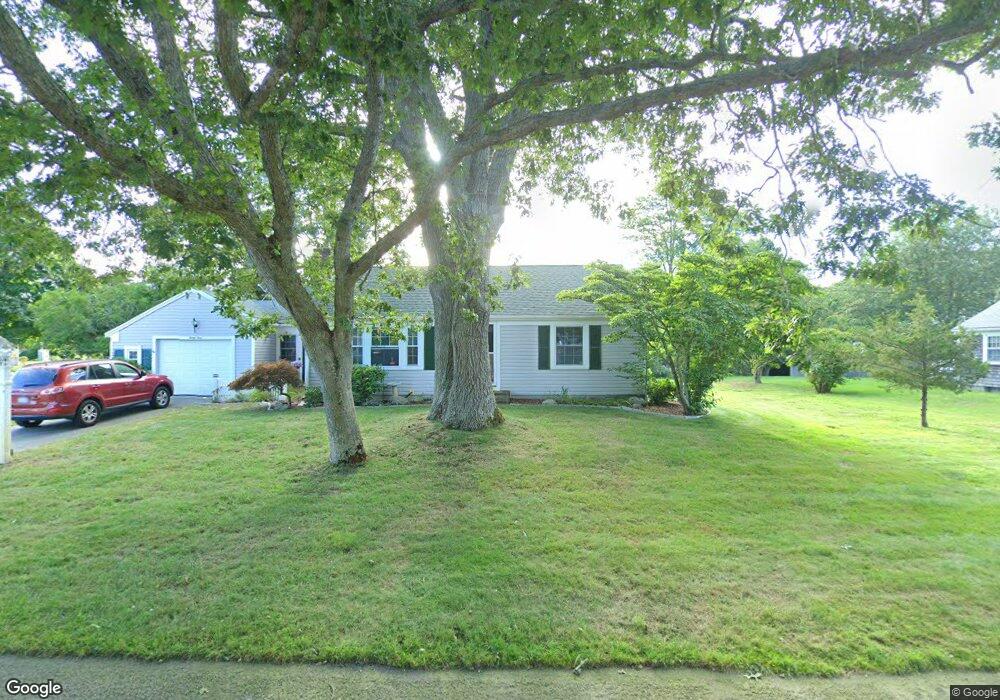
23 Knox Rd Dennis Port, MA 02639
Dennis Port NeighborhoodEstimated Value: $483,000 - $623,000
2
Beds
1
Bath
1,001
Sq Ft
$542/Sq Ft
Est. Value
About This Home
This home is located at 23 Knox Rd, Dennis Port, MA 02639 and is currently estimated at $542,561, approximately $542 per square foot. 23 Knox Rd is a home located in Barnstable County with nearby schools including Dennis-Yarmouth Regional High School and St. Pius X. School.
Ownership History
Date
Name
Owned For
Owner Type
Purchase Details
Closed on
Feb 4, 2005
Sold by
Thompson Beverly A and James Dudevoire H
Bought by
Thompson Beverly A
Current Estimated Value
Purchase Details
Closed on
Oct 3, 1997
Sold by
Budzyna Theodore
Bought by
Thompson Beverly A
Home Financials for this Owner
Home Financials are based on the most recent Mortgage that was taken out on this home.
Original Mortgage
$220,000
Interest Rate
7.41%
Mortgage Type
Purchase Money Mortgage
Purchase Details
Closed on
Jun 26, 1987
Sold by
Tower James E
Bought by
Budzyna Theodore
Create a Home Valuation Report for This Property
The Home Valuation Report is an in-depth analysis detailing your home's value as well as a comparison with similar homes in the area
Home Values in the Area
Average Home Value in this Area
Purchase History
| Date | Buyer | Sale Price | Title Company |
|---|---|---|---|
| Thompson Beverly A | -- | -- | |
| Thompson Beverly A | $149,900 | -- | |
| Budzyna Theodore | $135,500 | -- |
Source: Public Records
Mortgage History
| Date | Status | Borrower | Loan Amount |
|---|---|---|---|
| Previous Owner | Thompson Beverly A | $220,000 |
Source: Public Records
Tax History Compared to Growth
Tax History
| Year | Tax Paid | Tax Assessment Tax Assessment Total Assessment is a certain percentage of the fair market value that is determined by local assessors to be the total taxable value of land and additions on the property. | Land | Improvement |
|---|---|---|---|---|
| 2025 | $2,156 | $498,000 | $131,200 | $366,800 |
| 2024 | $2,056 | $468,300 | $133,600 | $334,700 |
| 2023 | $1,989 | $425,900 | $121,500 | $304,400 |
| 2022 | $1,944 | $347,100 | $121,600 | $225,500 |
| 2021 | $1,772 | $293,800 | $107,300 | $186,500 |
| 2020 | $1,688 | $276,700 | $107,300 | $169,400 |
| 2019 | $1,580 | $256,000 | $105,200 | $150,800 |
| 2018 | $1,505 | $237,400 | $100,100 | $137,300 |
| 2017 | $1,434 | $233,100 | $100,100 | $133,000 |
| 2016 | $1,595 | $244,200 | $111,200 | $133,000 |
| 2015 | $1,563 | $244,200 | $111,200 | $133,000 |
| 2014 | $1,410 | $222,000 | $89,000 | $133,000 |
Source: Public Records
Map
Nearby Homes
- 11 Lane Rd
- 24 Indian Trail
- 78 Upper County Rd Unit A&B
- 78 Upper County Rd
- 9 Country Ln
- 91 Depot Rd W
- 47 Telegraph Rd Unit 1
- 141 Division St
- 141 Division St
- 12 Candlewood Ln Unit 2-9
- 10 Candlewood Ln Unit 2-1
- 20 Aunt Debbys Rd
- 537 Depot St
- 45 Route 28
- 9 Bells Neck Rd Unit 10
- 171 Searsville Rd
- 360 Center St
- 268 Main St
- 116 Searsville Rd
- 40 Willow St