23 Linscott Rd N York, ME 03909
York NeighborhoodEstimated Value: $802,000 - $836,000
2
Beds
2
Baths
1,852
Sq Ft
$445/Sq Ft
Est. Value
About This Home
This home is located at 23 Linscott Rd N, York, ME 03909 and is currently estimated at $824,921, approximately $445 per square foot. 23 Linscott Rd N is a home located in York County with nearby schools including Village Elementary School, Coastal Ridge Elementary School, and York Middle School.
Ownership History
Date
Name
Owned For
Owner Type
Purchase Details
Closed on
Jun 26, 2023
Sold by
Bernardi Bridget D
Bought by
Moxie Bet Llc
Current Estimated Value
Purchase Details
Closed on
Jul 14, 2017
Sold by
Elizabeth Munson 2016 T and Elizabeth Bernardi
Bought by
Bernardi Bridget D
Purchase Details
Closed on
Feb 29, 2016
Sold by
Munson Elizabeth M
Bought by
Elizabeth M Munson T M and Elizabeth Munson
Create a Home Valuation Report for This Property
The Home Valuation Report is an in-depth analysis detailing your home's value as well as a comparison with similar homes in the area
Home Values in the Area
Average Home Value in this Area
Purchase History
| Date | Buyer | Sale Price | Title Company |
|---|---|---|---|
| Moxie Bet Llc | -- | None Available | |
| Bernardi Bridget D | -- | -- | |
| Elizabeth M Munson T M | -- | -- |
Source: Public Records
Tax History Compared to Growth
Tax History
| Year | Tax Paid | Tax Assessment Tax Assessment Total Assessment is a certain percentage of the fair market value that is determined by local assessors to be the total taxable value of land and additions on the property. | Land | Improvement |
|---|---|---|---|---|
| 2024 | $5,767 | $686,500 | $358,600 | $327,900 |
| 2023 | $5,015 | $593,500 | $265,600 | $327,900 |
| 2022 | $4,888 | $571,700 | $265,600 | $306,100 |
| 2021 | $4,866 | $489,000 | $232,700 | $256,300 |
| 2020 | $4,865 | $438,300 | $232,700 | $205,600 |
| 2019 | $4,650 | $417,000 | $213,300 | $203,700 |
| 2018 | $4,627 | $415,000 | $213,300 | $201,700 |
| 2017 | $4,502 | $411,100 | $213,300 | $197,800 |
| 2016 | $4,007 | $359,400 | $161,600 | $197,800 |
| 2015 | $3,962 | $360,200 | $161,600 | $198,600 |
| 2014 | $3,854 | $360,200 | $161,600 | $198,600 |
| 2013 | $3,757 | $360,200 | $161,600 | $198,600 |
Source: Public Records
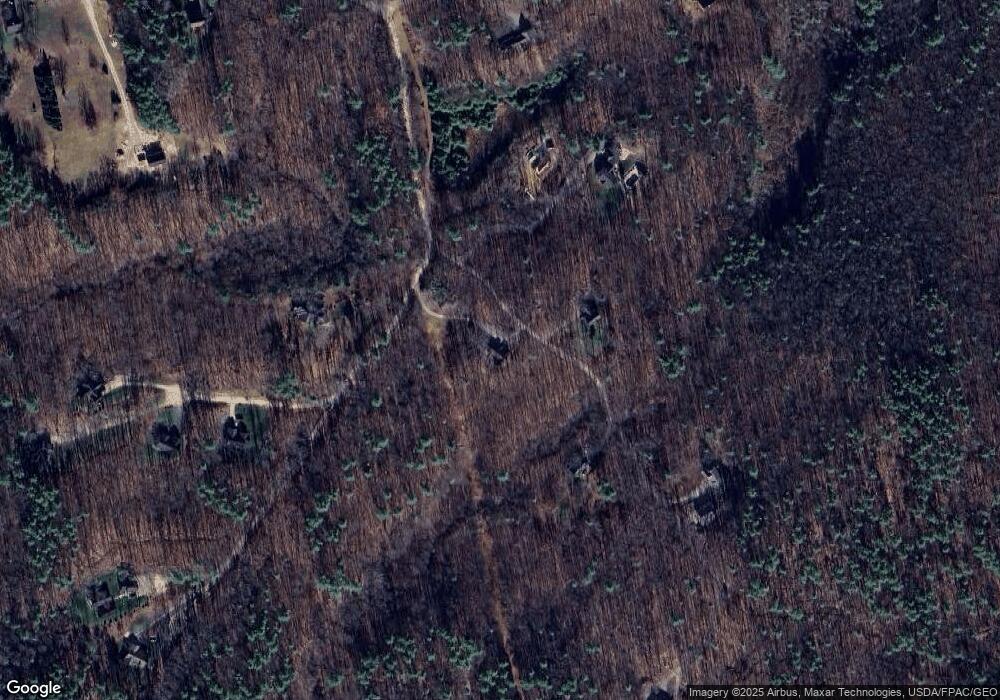
Map
Nearby Homes
- 31 Birch Hill Rd
- 3 Shaws Farm Ln Unit 1
- 4 Bhoireann Ln
- 3 Bhoireann Ln
- 68 Brixham Rd
- Lot 1 Brixham (Stonecrop Farm Lot 1) Rd
- Lot 4 Stonecrop Farm Ln
- 0 Lindsay Ln
- 76 Punkintown Rd
- 373 Brixham Rd
- 12 Malcolm Rd
- 2 Lils Alley
- 29 Carriage Hill Ln
- 4 Fall Mill Rd
- 52 Hooper Shores Rd
- 5 Gowen Ln
- 287 Goodwin Rd
- 0 Goodwin Rd Unit 1626810
- 49 Betty Welch Rd
- 5 Corn Swamp Rd