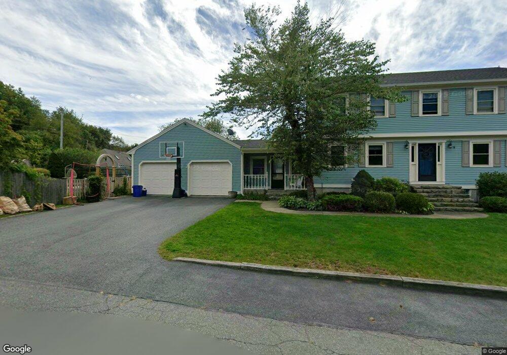
23 Macomber Rd Gloucester, MA 01930
Estimated Value: $812,000 - $1,071,000
4
Beds
3
Baths
3,120
Sq Ft
$317/Sq Ft
Est. Value
About This Home
This home is located at 23 Macomber Rd, Gloucester, MA 01930 and is currently estimated at $988,009, approximately $316 per square foot. 23 Macomber Rd is a home located in Essex County with nearby schools including Beeman Memorial, Ralph B O'maley Middle School, and Gloucester High School.
Ownership History
Date
Name
Owned For
Owner Type
Purchase Details
Closed on
Dec 20, 2019
Sold by
Oliver Alicia R and Oliver Michael D
Bought by
Curcuru Jody C and Curcuru Rosalie M
Current Estimated Value
Home Financials for this Owner
Home Financials are based on the most recent Mortgage that was taken out on this home.
Original Mortgage
$267,500
Outstanding Balance
$233,796
Interest Rate
3.6%
Mortgage Type
New Conventional
Estimated Equity
$754,213
Purchase Details
Closed on
Mar 29, 1996
Sold by
Curcuru Donna
Bought by
Stride William and Stride Loretta
Create a Home Valuation Report for This Property
The Home Valuation Report is an in-depth analysis detailing your home's value as well as a comparison with similar homes in the area
Purchase History
| Date | Buyer | Sale Price | Title Company |
|---|---|---|---|
| Curcuru Jody C | $650,000 | None Available | |
| Curcuru Jody C | $650,000 | None Available | |
| Stride William | $214,000 | -- |
Source: Public Records
Mortgage History
| Date | Status | Borrower | Loan Amount |
|---|---|---|---|
| Open | Curcuru Jody C | $267,500 | |
| Closed | Curcuru Jody C | $267,500 | |
| Previous Owner | Stride William | $185,000 | |
| Previous Owner | Stride William | $223,500 |
Source: Public Records
Tax History
| Year | Tax Paid | Tax Assessment Tax Assessment Total Assessment is a certain percentage of the fair market value that is determined by local assessors to be the total taxable value of land and additions on the property. | Land | Improvement |
|---|---|---|---|---|
| 2025 | $8,524 | $877,000 | $189,000 | $688,000 |
| 2024 | $8,446 | $868,000 | $180,000 | $688,000 |
| 2023 | $8,095 | $764,400 | $160,700 | $603,700 |
| 2022 | $7,873 | $671,200 | $139,800 | $531,400 |
| 2021 | $7,556 | $607,400 | $127,100 | $480,300 |
| 2020 | $7,590 | $615,600 | $127,100 | $488,500 |
| 2019 | $7,316 | $576,500 | $127,100 | $449,400 |
| 2018 | $7,102 | $549,300 | $127,100 | $422,200 |
| 2017 | $6,892 | $522,500 | $121,000 | $401,500 |
| 2016 | $6,757 | $496,500 | $126,300 | $370,200 |
| 2015 | $6,411 | $469,700 | $126,300 | $343,400 |
Source: Public Records
Map
Nearby Homes
- 3 Deacon Farm Ln
- 31 Echo Ave
- 2 Breezy Point Rd
- 13 Honeysuckle Rd
- 672 Washington St
- 13 Mystic Ave
- 8 Mystic Ave
- 98 Maplewood Ave
- 6 Monroe Ct
- 12 Arthur St
- 9 Cleveland Place
- 40 Sargent St
- 19 Trask St Unit 2
- 50 Warner St
- 167 Atlantic St
- 178 Atlantic St
- 226 Atlantic St
- 113 Pleasant St
- 33 Maplewood Ave Unit 310
- 15 Mount Vernon St
Your Personal Tour Guide
Ask me questions while you tour the home.