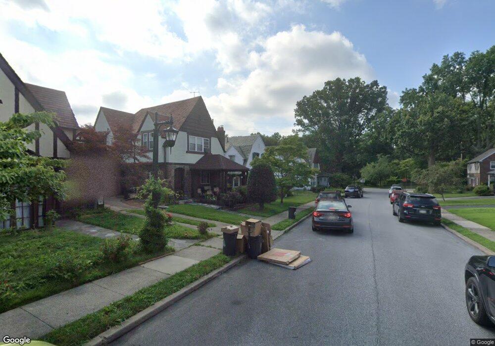
23 Mansfield Rd Lansdowne, PA 19050
Estimated Value: $319,000 - $415,000
6
Beds
4
Baths
2,223
Sq Ft
$163/Sq Ft
Est. Value
About This Home
This home is located at 23 Mansfield Rd, Lansdowne, PA 19050 and is currently estimated at $361,584, approximately $162 per square foot. 23 Mansfield Rd is a home located in Delaware County with nearby schools including Ardmore Avenue School, Penn Wood Middle School, and Penn Wood High School - Cypress Street Campus.
Ownership History
Date
Name
Owned For
Owner Type
Purchase Details
Closed on
Apr 28, 2004
Sold by
Johnson Elizabeth F and Johnston Thomas F
Bought by
Sessoms Dennis
Current Estimated Value
Home Financials for this Owner
Home Financials are based on the most recent Mortgage that was taken out on this home.
Original Mortgage
$165,850
Outstanding Balance
$77,158
Interest Rate
5.39%
Mortgage Type
FHA
Estimated Equity
$284,426
Create a Home Valuation Report for This Property
The Home Valuation Report is an in-depth analysis detailing your home's value as well as a comparison with similar homes in the area
Home Values in the Area
Average Home Value in this Area
Purchase History
| Date | Buyer | Sale Price | Title Company |
|---|---|---|---|
| Sessoms Dennis | $172,000 | -- |
Source: Public Records
Mortgage History
| Date | Status | Borrower | Loan Amount |
|---|---|---|---|
| Open | Sessoms Dennis | $165,850 |
Source: Public Records
Tax History Compared to Growth
Tax History
| Year | Tax Paid | Tax Assessment Tax Assessment Total Assessment is a certain percentage of the fair market value that is determined by local assessors to be the total taxable value of land and additions on the property. | Land | Improvement |
|---|---|---|---|---|
| 2025 | $8,153 | $198,020 | $49,480 | $148,540 |
| 2024 | $8,153 | $198,020 | $49,480 | $148,540 |
| 2023 | $7,773 | $198,020 | $49,480 | $148,540 |
| 2022 | $7,620 | $198,020 | $49,480 | $148,540 |
| 2021 | $11,443 | $198,020 | $49,480 | $148,540 |
| 2020 | $7,274 | $110,920 | $27,240 | $83,680 |
| 2019 | $7,152 | $110,920 | $27,240 | $83,680 |
| 2018 | $7,030 | $110,920 | $0 | $0 |
| 2017 | $6,875 | $110,920 | $0 | $0 |
| 2016 | $609 | $110,920 | $0 | $0 |
| 2015 | $609 | $110,920 | $0 | $0 |
| 2014 | $609 | $110,920 | $0 | $0 |
Source: Public Records
Map
Nearby Homes
- 108 Gladstone Rd
- 233 Scottdale Rd
- 80 W Baltimore Ave Unit B510
- 257 W Greenwood Ave
- 38 W Stratford Ave
- 29 W Stratford Ave
- 182 Berkley Ave
- 185 Berkley Ave
- 49 Elberon Ave
- 82 Marple Ave
- 442 E Baltimore Ave
- 603 Montana Ave
- 805 E Penn Pines Blvd
- 271 Drexel Ave
- 3847 Dennison Ave
- 14 W Providence Rd
- 223 W Plumstead Ave
- 32 N Wycombe Ave
- 37 E Stratford Ave
- 0 Bridge St
- 25 Mansfield Rd
- 21 Mansfield Rd
- 27 Mansfield Rd
- 26 W Windermere Terrace
- 19 Mansfield Rd
- 28 W Windermere Terrace
- 30 W Windermere Terrace
- 24 W Windermere Terrace
- 17 Mansfield Rd
- 26 Mansfield Rd
- 22 W Windermere Terrace
- 18 Mansfield Rd
- 15 Mansfield Rd
- 30 Mansfield Rd
- 20 W Windermere Terrace
- 14 Mansfield Rd
- 18 W Windermere Terrace
- 13 Mansfield Rd
- 25 Deforest Rd
- 21 Deforest Rd