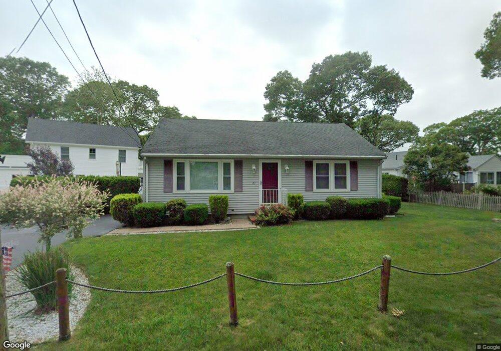
23 Nanumett St Buzzards Bay, MA 02532
Estimated Value: $521,000 - $550,000
2
Beds
1
Bath
864
Sq Ft
$619/Sq Ft
Est. Value
About This Home
This home is located at 23 Nanumett St, Buzzards Bay, MA 02532 and is currently estimated at $535,002, approximately $619 per square foot. 23 Nanumett St is a home.
Ownership History
Date
Name
Owned For
Owner Type
Purchase Details
Closed on
Aug 15, 2007
Sold by
Erd Rt and Delaney Peter L
Bought by
Rotella David R and Rotella Paula J
Current Estimated Value
Home Financials for this Owner
Home Financials are based on the most recent Mortgage that was taken out on this home.
Original Mortgage
$200,000
Outstanding Balance
$126,695
Interest Rate
6.67%
Mortgage Type
Purchase Money Mortgage
Estimated Equity
$408,307
Create a Home Valuation Report for This Property
The Home Valuation Report is an in-depth analysis detailing your home's value as well as a comparison with similar homes in the area
Purchase History
| Date | Buyer | Sale Price | Title Company |
|---|---|---|---|
| Rotella David R | $270,000 | -- | |
| Rotella David R | $270,000 | -- |
Source: Public Records
Mortgage History
| Date | Status | Borrower | Loan Amount |
|---|---|---|---|
| Open | Rotella David R | $50,000 | |
| Open | Rotella David R | $200,000 | |
| Closed | Rotella David R | $200,000 | |
| Previous Owner | Rotella David R | $55,000 |
Source: Public Records
Tax History
| Year | Tax Paid | Tax Assessment Tax Assessment Total Assessment is a certain percentage of the fair market value that is determined by local assessors to be the total taxable value of land and additions on the property. | Land | Improvement |
|---|---|---|---|---|
| 2025 | $5,053 | $460,200 | $196,900 | $263,300 |
| 2024 | $4,886 | $418,300 | $153,700 | $264,600 |
| 2023 | $4,574 | $377,500 | $139,700 | $237,800 |
| 2022 | $4,574 | $335,800 | $139,700 | $196,100 |
| 2021 | $4,592 | $328,000 | $139,700 | $188,300 |
| 2020 | $4,319 | $315,000 | $139,700 | $175,300 |
| 2019 | $4,050 | $298,700 | $141,100 | $157,600 |
| 2018 | $3,916 | $278,900 | $141,100 | $137,800 |
| 2017 | $3,691 | $264,000 | $141,100 | $122,900 |
| 2016 | $3,262 | $231,500 | $125,500 | $106,000 |
| 2015 | $3,172 | $231,500 | $125,500 | $106,000 |
| 2014 | $2,748 | $206,800 | $107,600 | $99,200 |
Source: Public Records
Map
Nearby Homes
- 12 Mason Street Extension
- 22 Bay View Ave
- 3 Short Neck Rd
- 36B Starboard Dr Unit 36E
- 36B Starboard Dr Unit 36G
- 36B Starboard Dr Unit 36C
- 36B Starboard Dr Unit 36A
- 36B Starboard Dr Unit 36D
- 36B Starboard Dr Unit 36B
- 36B Starboard Dr Unit 36F
- 36B Starboard Dr Unit 36H
- 23 Starboard Dr Unit Lot 50
- 29 Carleton St Unit 29
- 3 Carleton St Unit 3
- 32 Carleton St Unit 32
- 20 Evergreen St
- 20 Evergreen St
- 35 Locust St
- 35 Locust St
- 0 Broad St Off Unit 72362523
Your Personal Tour Guide
Ask me questions while you tour the home.