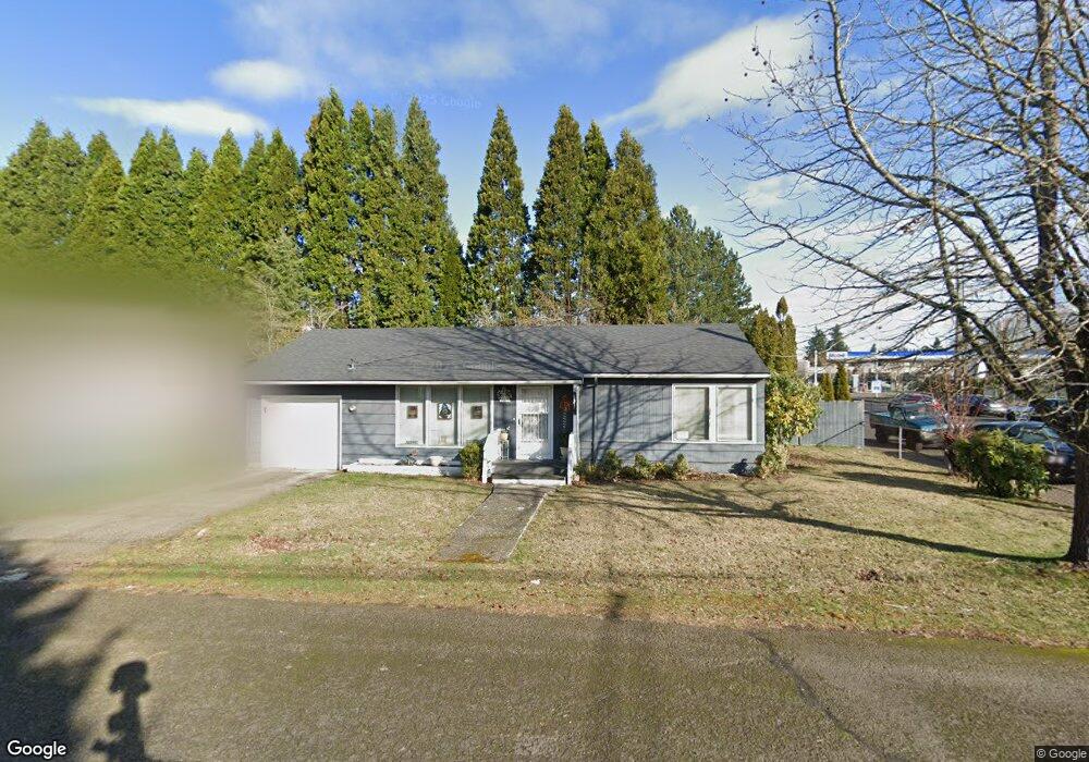
23 NW 15th St Gresham, OR 97030
Downtown Gresham NeighborhoodEstimated Value: $345,190 - $359,000
2
Beds
1
Bath
900
Sq Ft
$390/Sq Ft
Est. Value
About This Home
This home is located at 23 NW 15th St, Gresham, OR 97030 and is currently estimated at $350,798, approximately $389 per square foot. 23 NW 15th St is a home located in Multnomah County with nearby schools including Highland Elementary School, Clear Creek Middle School, and Gresham High School.
Ownership History
Date
Name
Owned For
Owner Type
Purchase Details
Closed on
Nov 18, 1998
Sold by
Reeves Julie Rae
Bought by
Swazo Kathryn M and Swazo Carlton J
Current Estimated Value
Home Financials for this Owner
Home Financials are based on the most recent Mortgage that was taken out on this home.
Original Mortgage
$78,400
Interest Rate
6.42%
Mortgage Type
Purchase Money Mortgage
Create a Home Valuation Report for This Property
The Home Valuation Report is an in-depth analysis detailing your home's value as well as a comparison with similar homes in the area
Home Values in the Area
Average Home Value in this Area
Purchase History
| Date | Buyer | Sale Price | Title Company |
|---|---|---|---|
| Swazo Kathryn M | $98,000 | First American Title Ins Co |
Source: Public Records
Mortgage History
| Date | Status | Borrower | Loan Amount |
|---|---|---|---|
| Previous Owner | Swazo Kathryn M | $78,400 |
Source: Public Records
Tax History
| Year | Tax Paid | Tax Assessment Tax Assessment Total Assessment is a certain percentage of the fair market value that is determined by local assessors to be the total taxable value of land and additions on the property. | Land | Improvement |
|---|---|---|---|---|
| 2025 | $3,390 | $166,580 | -- | -- |
| 2024 | $3,245 | $161,730 | -- | -- |
| 2023 | $3,245 | $157,020 | -- | -- |
| 2022 | $2,874 | $152,450 | $0 | $0 |
| 2021 | $2,801 | $148,010 | $0 | $0 |
| 2020 | $2,636 | $143,700 | $0 | $0 |
| 2019 | $2,567 | $139,520 | $0 | $0 |
| 2018 | $2,447 | $135,460 | $0 | $0 |
| 2017 | $2,348 | $131,520 | $0 | $0 |
| 2016 | $2,070 | $127,690 | $0 | $0 |
| 2015 | $2,026 | $123,980 | $0 | $0 |
| 2014 | $1,976 | $120,370 | $0 | $0 |
Source: Public Records
Map
Nearby Homes
- 54 NW 13th St
- 1783 1791 NE Beech Place
- 824 NW Mignonette Ave
- 450 NE 22nd St
- 660 NE 9th St
- 0 NE 5th St
- 894 NE Linden Ave
- 210 NE 5th St
- 1035 SE 225th Ave
- 535 NE 24th St
- 318 NE Roberts Ave Unit 308
- 318 NE Roberts Ave Unit 203
- 491 NE Elliott Ave
- 2021 NE Liberty Ave
- 2775 NE Linden Ave
- 1325 NW 9th St
- 0 NE 6th St
- 234 NE Cleveland Ave
- 21033 SE Clay Ct
- 1514 NE Hogan Dr Unit 131
- 45 NW 15th St
- 1463 N Main Ave
- 46 NW 15th St
- 75 NW 15th St Unit 95
- 96 NW 15th St
- 1453 N Main Ave
- 65 NW 14th Place Unit 67
- 50 NE Burnside Rd
- 100 NW 15th St
- 1512 N Main Ave
- 0 NW 14th Place
- 1431 N Main Ave
- 1331 N Main Ave
- 85 NW 14th Place Unit 87
- 0 Please No Calls Unit 124117
- 0 NW Withdrawn Unit 72285
- 0 NE 30th Dr `Pvrm` Unit 42064
- 0 Please Dont Call Unit 211469
- 0 NW Xx Unit 130397
- 64 NW 14th Place Unit 66
Your Personal Tour Guide
Ask me questions while you tour the home.