23 Owenoke Park Westport, CT 06880
Saugatuck NeighborhoodEstimated Value: $3,873,641 - $6,007,000
6
Beds
5
Baths
3,778
Sq Ft
$1,347/Sq Ft
Est. Value
About This Home
This home is located at 23 Owenoke Park, Westport, CT 06880 and is currently estimated at $5,087,214, approximately $1,346 per square foot. 23 Owenoke Park is a home located in Fairfield County with nearby schools including Green's Farms School, Bedford Middle School, and Staples High School.
Ownership History
Date
Name
Owned For
Owner Type
Purchase Details
Closed on
Jan 12, 2023
Sold by
Singer Joan C
Bought by
Singer Charles M
Current Estimated Value
Purchase Details
Closed on
Apr 2, 2022
Sold by
Arthur L Singer Jr Ret
Bought by
Singer Joan C
Purchase Details
Closed on
Aug 20, 2018
Sold by
Singer Joan C
Bought by
Singer Arthur L
Create a Home Valuation Report for This Property
The Home Valuation Report is an in-depth analysis detailing your home's value as well as a comparison with similar homes in the area
Home Values in the Area
Average Home Value in this Area
Purchase History
| Date | Buyer | Sale Price | Title Company |
|---|---|---|---|
| Singer Charles M | -- | None Available | |
| Singer Charles M | -- | None Available | |
| Singer Joan C | -- | None Available | |
| Singer Joan C | -- | None Available | |
| Singer Arthur L | -- | -- | |
| Singer Arthur L | -- | -- |
Source: Public Records
Tax History Compared to Growth
Tax History
| Year | Tax Paid | Tax Assessment Tax Assessment Total Assessment is a certain percentage of the fair market value that is determined by local assessors to be the total taxable value of land and additions on the property. | Land | Improvement |
|---|---|---|---|---|
| 2025 | $46,556 | $2,468,500 | $2,218,000 | $250,500 |
| 2024 | $45,963 | $2,468,500 | $2,218,000 | $250,500 |
| 2023 | $45,297 | $2,468,500 | $2,218,000 | $250,500 |
| 2022 | $44,606 | $2,468,500 | $2,218,000 | $250,500 |
| 2021 | $44,606 | $2,468,500 | $2,218,000 | $250,500 |
| 2020 | $41,143 | $2,577,400 | $2,330,400 | $247,000 |
| 2019 | $43,455 | $2,577,400 | $2,330,400 | $247,000 |
| 2018 | $43,455 | $2,577,400 | $2,330,400 | $247,000 |
| 2017 | $43,455 | $2,577,400 | $2,330,400 | $247,000 |
| 2016 | $36,509 | $2,165,400 | $1,918,400 | $247,000 |
| 2015 | $43,760 | $2,419,000 | $2,118,800 | $300,200 |
| 2014 | $43,397 | $2,419,000 | $2,118,800 | $300,200 |
Source: Public Records
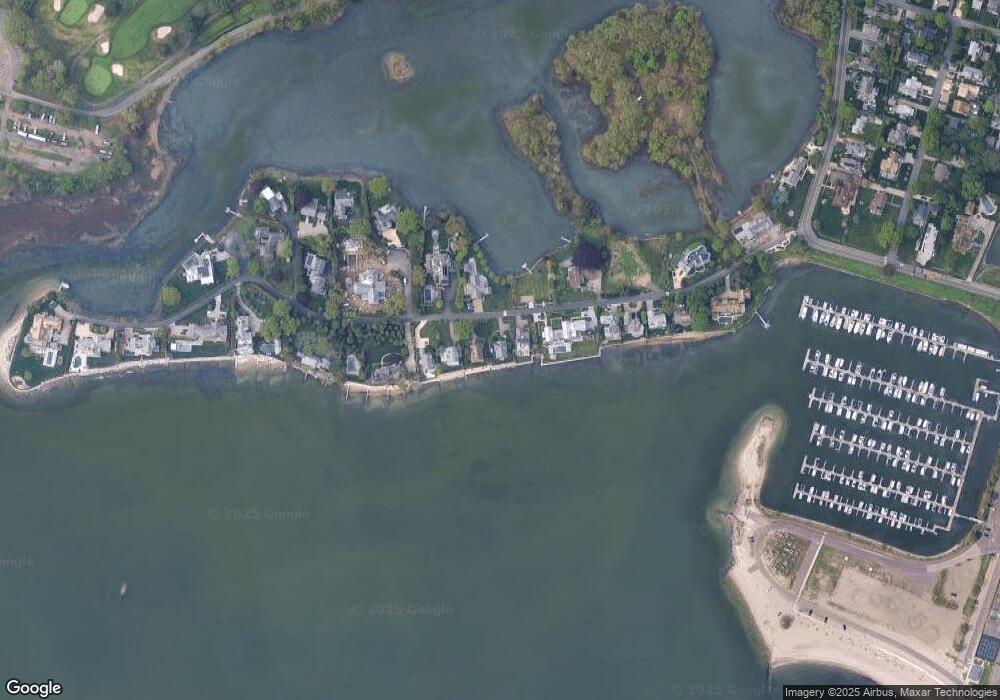
Map
Nearby Homes
- 14 Owenoke Park
- 5 Hidden Hill Rd
- 24 Compo Pkwy
- 11 Manitou Ct
- 39 Compo Pkwy
- 260 Hillspoint Rd
- 11 Sterling Dr
- 33 Burnham Hill
- 8 Canal Rd
- 216 Hillspoint Rd
- 6 Stony Point Rd
- 3 Nassau Rd
- 48 Compo Mill Cove
- 46 Compo Mill Cove
- 46 Compo Mill Cove
- 32 Edgewater Hillside
- 115 Valley Rd
- 23 Bridge St
- 5 Minard Dr
- 171 & 169 Compo Rd S
- 21 Owenoke Park
- 27 Owenoke Park
- 25 Owenoke Park
- 22 Owenoke Park
- 28 Owenoke Park
- 17 Owenoke Park
- 17 Owenoke Park
- 16 Owenoke Park
- 29 Owenoke Park
- 15 Owenoke Park
- 35 Owenoke Park
- 17 Owenoke Park
- 31 Owenoke Park
- 24 Owenoke Park
- 24 Owenoke Park
- 11 Owenoke Park
- 34 Owenoke Park
- 9 Owenoke Park
- 32 Owenoke Park