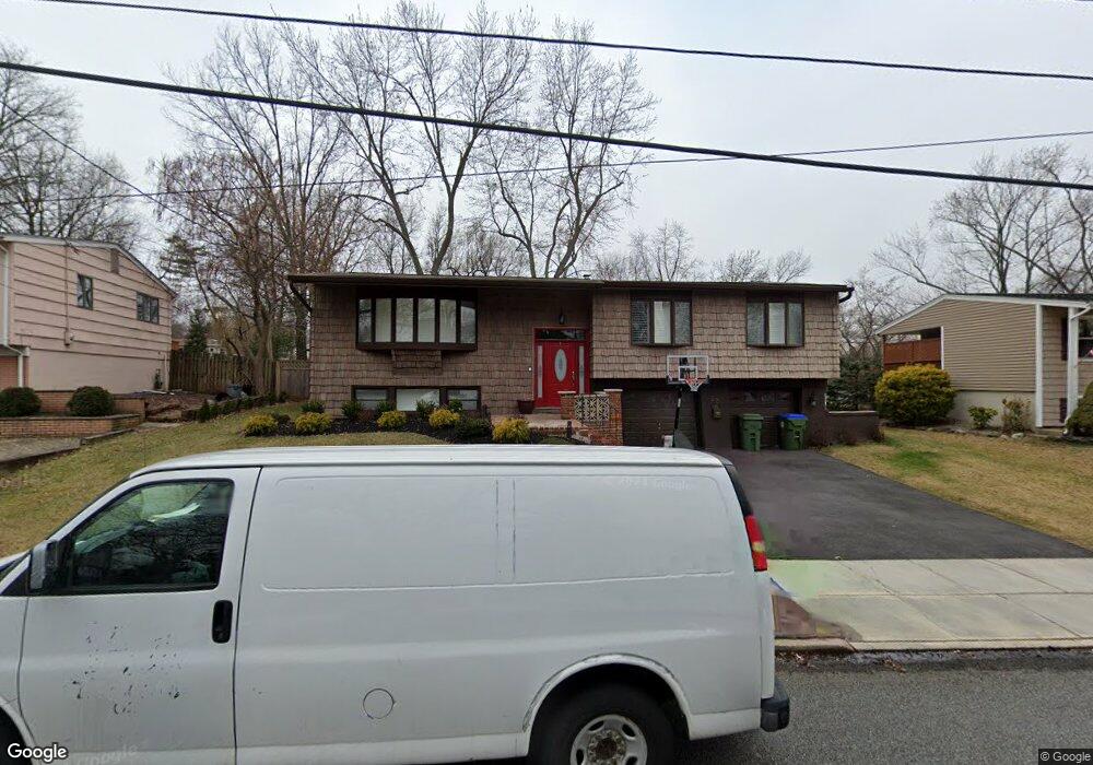
23 Peake Rd Edison, NJ 08837
Estimated Value: $579,711 - $737,000
Studio
--
Bath
1,408
Sq Ft
$482/Sq Ft
Est. Value
About This Home
This home is located at 23 Peake Rd, Edison, NJ 08837 and is currently estimated at $678,428, approximately $481 per square foot. 23 Peake Rd is a home located in Middlesex County with nearby schools including James Monroe Elementary School, Herbert Hoover Middle School, and Edison High School.
Ownership History
Date
Name
Owned For
Owner Type
Purchase Details
Closed on
Jun 25, 2020
Sold by
Brink Road Shelter Llc
Bought by
Onwusi Obioma and Okoli Obinna
Current Estimated Value
Home Financials for this Owner
Home Financials are based on the most recent Mortgage that was taken out on this home.
Original Mortgage
$448,718
Outstanding Balance
$397,893
Interest Rate
3.1%
Mortgage Type
FHA
Estimated Equity
$280,535
Purchase Details
Closed on
Jul 30, 2019
Sold by
Domozyk Stan and Estate Of Gloria E Domozyk
Bought by
Brink Road Shelter Llc
Create a Home Valuation Report for This Property
The Home Valuation Report is an in-depth analysis detailing your home's value as well as a comparison with similar homes in the area
Home Values in the Area
Average Home Value in this Area
Purchase History
| Date | Buyer | Sale Price | Title Company |
|---|---|---|---|
| Onwusi Obioma | $490,000 | Zwiren Title Agency Inc | |
| Brink Road Shelter Llc | $263,000 | Executive Abstract Ttl Agcy |
Source: Public Records
Mortgage History
| Date | Status | Borrower | Loan Amount |
|---|---|---|---|
| Open | Onwusi Obioma | $448,718 |
Source: Public Records
Tax History
| Year | Tax Paid | Tax Assessment Tax Assessment Total Assessment is a certain percentage of the fair market value that is determined by local assessors to be the total taxable value of land and additions on the property. | Land | Improvement |
|---|---|---|---|---|
| 2025 | $11,483 | $192,900 | $112,400 | $80,500 |
| 2024 | $11,422 | $192,900 | $112,400 | $80,500 |
Source: Public Records
Map
Nearby Homes
- 16 Peake Rd
- 62 Harmon Rd
- 21 Wilk Rd
- 16 Hallo St
- 16 Inverness Terrace
- 25 Penn St
- 30 Overlook Terrace
- 29 Highland Terrace
- 26 S Michael St
- 31 Marie Rd
- 51 Dartmouth St
- 537 Ford Ave
- 180 Cutter Ave
- 27 Judson St Unit 13B
- 38 Evergreen Ave
- 74 Wildwood Ave
- 23 Carlton St
- 23 Carlton St S
- 30 Judson St Unit 6A
- 30 Judson St Unit 8B
Your Personal Tour Guide
Ask me questions while you tour the home.