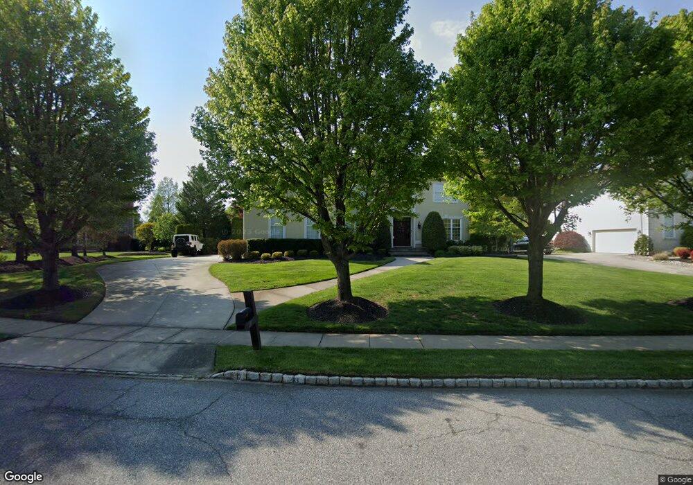
23 Pheasant Dr Mount Laurel, NJ 08054
Estimated Value: $857,506 - $1,063,000
Studio
--
Bath
3,306
Sq Ft
$287/Sq Ft
Est. Value
About This Home
This home is located at 23 Pheasant Dr, Mount Laurel, NJ 08054 and is currently estimated at $947,877, approximately $286 per square foot. 23 Pheasant Dr is a home located in Burlington County with nearby schools including Hillside Elementary School, T.E. Harrington Middle School, and Mount Laurel Hartford School.
Ownership History
Date
Name
Owned For
Owner Type
Purchase Details
Closed on
Feb 18, 2020
Sold by
Hunter Leonard J
Bought by
Anderson Hunter Stacey
Current Estimated Value
Purchase Details
Closed on
Mar 3, 1997
Sold by
Pond & Spitz Building Division Corp
Bought by
Hunter Leonard J and Anderson Hunter Stacey
Home Financials for this Owner
Home Financials are based on the most recent Mortgage that was taken out on this home.
Original Mortgage
$180,000
Outstanding Balance
$21,460
Interest Rate
7.55%
Estimated Equity
$926,417
Create a Home Valuation Report for This Property
The Home Valuation Report is an in-depth analysis detailing your home's value as well as a comparison with similar homes in the area
Home Values in the Area
Average Home Value in this Area
Purchase History
| Date | Buyer | Sale Price | Title Company |
|---|---|---|---|
| Anderson Hunter Stacey | -- | None Available | |
| Hunter Leonard J | $339,759 | -- |
Source: Public Records
Mortgage History
| Date | Status | Borrower | Loan Amount |
|---|---|---|---|
| Open | Hunter Leonard J | $180,000 |
Source: Public Records
Tax History
| Year | Tax Paid | Tax Assessment Tax Assessment Total Assessment is a certain percentage of the fair market value that is determined by local assessors to be the total taxable value of land and additions on the property. | Land | Improvement |
|---|---|---|---|---|
| 2025 | $16,963 | $537,300 | $132,300 | $405,000 |
| 2024 | $16,323 | $537,300 | $132,300 | $405,000 |
| 2023 | $16,323 | $537,300 | $132,300 | $405,000 |
| 2022 | $16,269 | $537,300 | $132,300 | $405,000 |
| 2021 | $15,963 | $537,300 | $132,300 | $405,000 |
| 2020 | $15,652 | $537,300 | $132,300 | $405,000 |
| 2019 | $15,490 | $537,300 | $132,300 | $405,000 |
| 2018 | $15,372 | $537,300 | $132,300 | $405,000 |
| 2017 | $14,975 | $537,300 | $132,300 | $405,000 |
| 2016 | $14,749 | $537,300 | $132,300 | $405,000 |
| 2015 | $14,577 | $537,300 | $132,300 | $405,000 |
| 2014 | $14,432 | $537,300 | $132,300 | $405,000 |
Source: Public Records
Map
Nearby Homes
- 27 Marter Ave
- 200 Laurel Ln
- 270 Mount Laurel Rd
- 324 Mount Laurel Rd
- 58 Watson Dr
- 2702B Bluegrass Dr Unit B
- 78 Watson Dr
- 89 Hillside Ln
- 404 Aster Place
- 120 Canterbury Rd
- 30 Leighton Dr
- 1604B Steeplebush Terrace Unit 2604B
- 35 Sisters Farmstead Dr
- 2103A Ferndale Ct Unit A
- 506 Oliphant Ln Unit 506
- 679 Cascade Dr S
- 205 Kirby Way Unit 205
- 907A Oliphant Ln Unit 907A
- 420 Elderberry Ct
- 112 Village Ln Unit 112
Your Personal Tour Guide
Ask me questions while you tour the home.