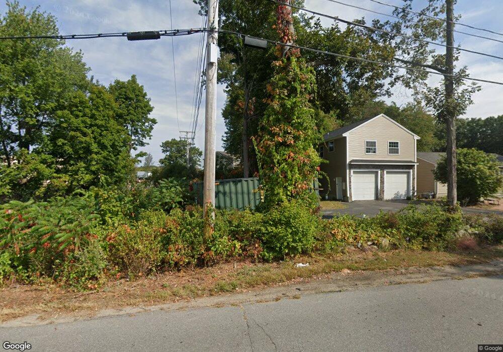
23 Rocks Rd Seabrook, NH 03874
Estimated Value: $317,000 - $465,000
1
Bed
1
Bath
600
Sq Ft
$644/Sq Ft
Est. Value
About This Home
This home is located at 23 Rocks Rd, Seabrook, NH 03874 and is currently estimated at $386,679, approximately $644 per square foot. 23 Rocks Rd is a home with nearby schools including Seabrook Elementary School, Seabrook Middle School, and Winnacunnet High School.
Create a Home Valuation Report for This Property
The Home Valuation Report is an in-depth analysis detailing your home's value as well as a comparison with similar homes in the area
Home Values in the Area
Average Home Value in this Area
Tax History Compared to Growth
Tax History
| Year | Tax Paid | Tax Assessment Tax Assessment Total Assessment is a certain percentage of the fair market value that is determined by local assessors to be the total taxable value of land and additions on the property. | Land | Improvement |
|---|---|---|---|---|
| 2024 | $3,953 | $337,300 | $220,000 | $117,300 |
| 2023 | $3,824 | $253,400 | $179,200 | $74,200 |
| 2022 | $3,358 | $253,400 | $179,200 | $74,200 |
| 2021 | $3,255 | $237,100 | $162,900 | $74,200 |
| 2020 | $3,212 | $201,100 | $130,400 | $70,700 |
| 2019 | $3,167 | $201,100 | $130,400 | $70,700 |
| 2018 | $2,767 | $170,300 | $99,600 | $70,700 |
| 2017 | $2,767 | $170,300 | $99,600 | $70,700 |
| 2016 | $2,519 | $170,300 | $99,600 | $70,700 |
| 2015 | $2,307 | $156,000 | $93,600 | $62,400 |
| 2014 | $2,382 | $156,000 | $93,600 | $62,400 |
Source: Public Records
Map
Nearby Homes
- 38 Rocks Rd Unit 2
- 38 Rocks Rd Unit 1
- 20 Railroad Ave
- 81 Elm Ct
- 46 Kensington Rd
- 22 Farm Ln
- 8 Kimberly Dr
- 213 New Hampshire 107
- 51 Depot Rd
- 14 Coleman Ct
- 106 Folly Mill Rd
- 75 Border Winds Ave
- 17 Drinkwater Rd
- 28 Brooks Rd
- 57 Washington St
- 241 & 245 Lafayette Rd
- 0 Marsh Ln Unit 6C
- 0 Marsh Ln Unit 5
- 61 Folly Mill Rd
- 176 Lower Collins St