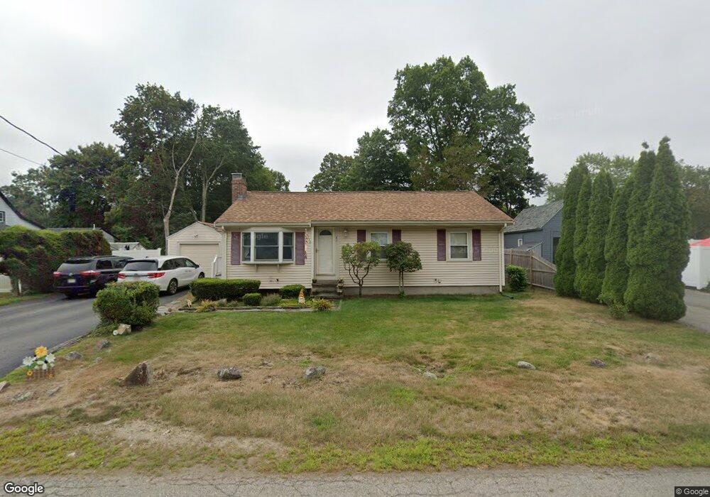
23 Savine St Abington, MA 02351
Estimated Value: $535,000 - $624,000
3
Beds
2
Baths
1,542
Sq Ft
$376/Sq Ft
Est. Value
About This Home
This home is located at 23 Savine St, Abington, MA 02351 and is currently estimated at $579,640, approximately $375 per square foot. 23 Savine St is a home located in Plymouth County with nearby schools including Beaver Brook Elementary School, Abington Middle School, and Woodsdale School.
Ownership History
Date
Name
Owned For
Owner Type
Purchase Details
Closed on
Sep 4, 2003
Sold by
Wood Troy S
Bought by
Wood Caly Lara and Wood Troy S
Current Estimated Value
Home Financials for this Owner
Home Financials are based on the most recent Mortgage that was taken out on this home.
Original Mortgage
$252,000
Interest Rate
6.02%
Mortgage Type
Purchase Money Mortgage
Purchase Details
Closed on
Oct 29, 1999
Sold by
Conroy James T and Conroy Maureen A
Bought by
Wood Troy S
Create a Home Valuation Report for This Property
The Home Valuation Report is an in-depth analysis detailing your home's value as well as a comparison with similar homes in the area
Home Values in the Area
Average Home Value in this Area
Purchase History
| Date | Buyer | Sale Price | Title Company |
|---|---|---|---|
| Wood Caly Lara | -- | -- | |
| Wood Troy S | $166,000 | -- |
Source: Public Records
Mortgage History
| Date | Status | Borrower | Loan Amount |
|---|---|---|---|
| Open | Wood Troy S | $221,500 | |
| Closed | Wood Troy S | $251,329 | |
| Closed | Wood Troy S | $252,000 |
Source: Public Records
Tax History Compared to Growth
Tax History
| Year | Tax Paid | Tax Assessment Tax Assessment Total Assessment is a certain percentage of the fair market value that is determined by local assessors to be the total taxable value of land and additions on the property. | Land | Improvement |
|---|---|---|---|---|
| 2025 | $6,678 | $511,300 | $240,400 | $270,900 |
| 2024 | $6,303 | $471,100 | $218,700 | $252,400 |
| 2023 | $6,466 | $455,000 | $190,300 | $264,700 |
| 2022 | $6,332 | $416,000 | $166,700 | $249,300 |
| 2021 | $16,840 | $357,300 | $151,300 | $206,000 |
| 2020 | $5,889 | $346,400 | $146,700 | $199,700 |
| 2019 | $5,407 | $310,900 | $139,800 | $171,100 |
| 2018 | $5,458 | $306,300 | $139,800 | $166,500 |
| 2017 | $5,158 | $281,100 | $139,800 | $141,300 |
| 2016 | $4,730 | $263,800 | $133,200 | $130,600 |
| 2015 | $4,303 | $253,100 | $133,200 | $119,900 |
Source: Public Records
Map
Nearby Homes
- 120 Glen St
- 57 Battery St
- 29 West St
- 1085 Bedford St
- 1077 Bedford St
- 27 Fir Rd
- 40 Fir Rd Unit 386
- 46 Wardson Cir
- 20 Birch St
- 1353 Washington St
- 11 Hawthorne St
- 28 Nevens Cir
- 3 Hickory Cir
- 94 Leisurewoods Dr
- 86 Leisurewoods Dr Unit 279
- 0 Bedford St
- 11 Chestnut Cir
- 6 Chestnut Cir
- 9 Juniper Cir
- 5 Juniper Cir